
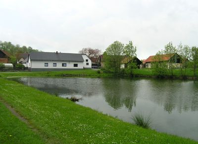
Nejepín, village in Havlíčkův Brod District of Vysočina region
Location: Havlíčkův Brod District
Location: Хотеборж
Elevation above the sea: 524 m
Shares border with: Vepříkov, Uhelná Příbram, Jilem, Chotěboř
Email: ou.nejepin@quick.cz
Website: http://nejepin.cz
GPS coordinates: 49.74456,15.60062
Latest update: April 11, 2025 10:15

Chotěboř Castle
5.7 km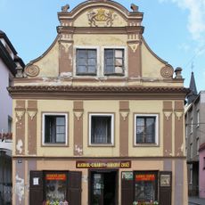
Náměstí T. G. Masaryka 194
5.6 km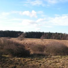
Havranka
3.6 km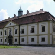
Cekus Chotěboř
5.7 km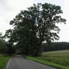
Žižkovy duby
5.6 km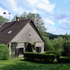
Skořetín
5.9 km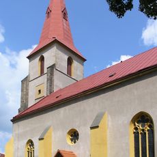
Church of Saint James the Greater in Chotěboř
5.6 km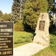
Hussite monument
5.5 km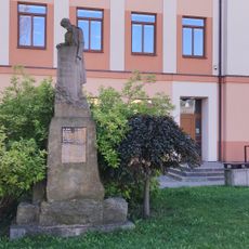
Pomník padlým I. a II. světové války
3.6 km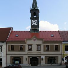
Town hall in Chotěboř
5.8 km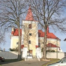
Church of Saint Michael
3 km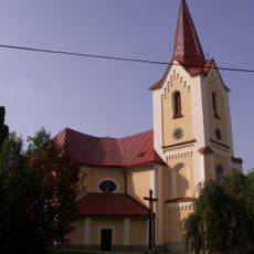
Church of Saint John of Nepomuk
3.6 km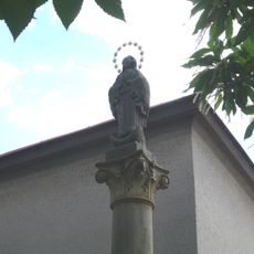
Maria column in Chotěboř
5.7 km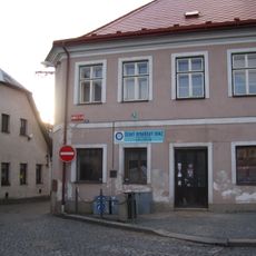
Lazební 206
5.7 km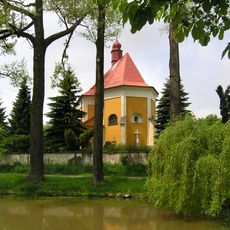
Church of Saint Lawrence
5.4 km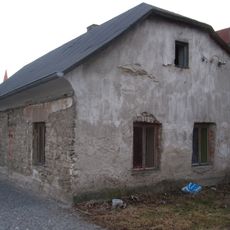
Riegrova 400
5.6 km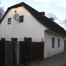
Riegrova 401
5.6 km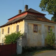
Rectory in Uhelná Příbram
3 km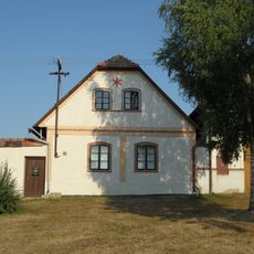
House No. 110
2.9 km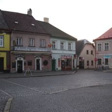
Náměstí T. G. Masaryka 232
5.7 km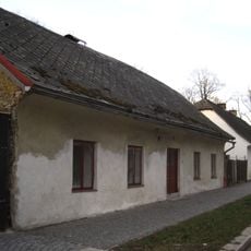
Riegrova 403
5.6 km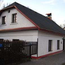
Riegrova 393
5.6 km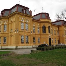
Zámek Nová Ves u Chotěboře
3.4 km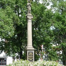
Maria column in Chotěboř
5.7 km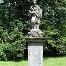
Svatý Jan Nepomucký z Jilmu
5.6 km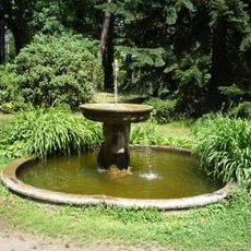
Zámecká fontánka
5.7 km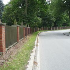
Hlavní brána a oplocení zámku Chotěboř
5.6 km
Havranka
3.7 kmReviews
Visited this place? Tap the stars to rate it and share your experience / photos with the community! Try now! You can cancel it anytime.
Discover hidden gems everywhere you go!
From secret cafés to breathtaking viewpoints, skip the crowded tourist spots and find places that match your style. Our app makes it easy with voice search, smart filtering, route optimization, and insider tips from travelers worldwide. Download now for the complete mobile experience.

A unique approach to discovering new places❞
— Le Figaro
All the places worth exploring❞
— France Info
A tailor-made excursion in just a few clicks❞
— 20 Minutes