
Věteřov, village in Hodonín District of South Moravian region
Location: Кыйов
Location: Hodonín District
Elevation above the sea: 264 m
Shares border with: Strážovice, Sobůlky, Nechvalín, Ostrovánky, Dražůvky, Lovčice
Email: ou.veterov@worldonline.cz
Website: http://veterov.eu
GPS coordinates: 49.02854,17.05615
Latest update: March 21, 2025 18:44
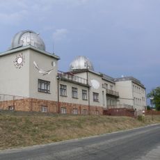
Ždánice Observatory
4.4 km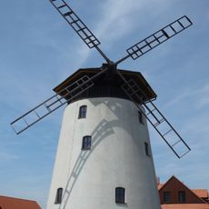
Windmill in Bukovany
2.9 km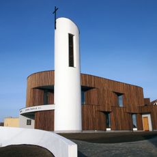
Chapel of Ioannes Paulus II in Bukovany
3.6 km
Church of the Assumption of the Virgin Mary (Ždánice, Hodonín District)
4.8 km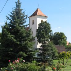
Church of Saint James the Greater (Želetice)
3.9 km
Church of Saints Cyril and Methodius
371 m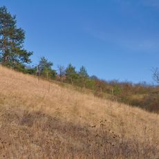
Sovince
4 km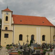
Church of Saints Roch and Sebastian
3.9 km
Church of Saints Peter and Paul
4.2 km
Socha svatého Jana Nepomuckého
2.7 km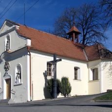
Chapel of Holy Trinity
2.2 km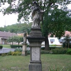
Socha svatého Jana Nepomuckého
1.9 km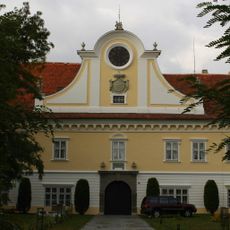
Ždánice Castle
4.6 km
Chapel of Saint John of Nepomuk
4.2 km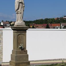
Socha svatého Jana Nepomuckého
3.6 km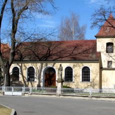
Chapel of Sacred Heart of Mary
1.9 km
Varhany v kostele svatých Petra a Pavla v Lovčicích
4.2 km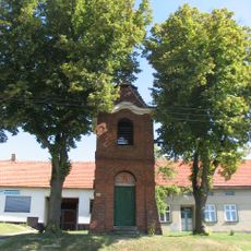
Zvonice
4.3 km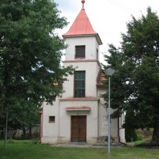
Chapel of Saint Wenceslaus
2.5 km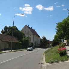
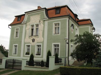
Zámek Strážovice
2.3 km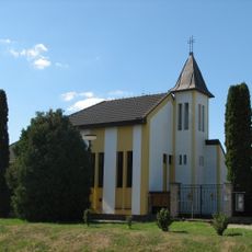
Chapel of Assumption
4.6 km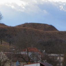
Tvrz
3 km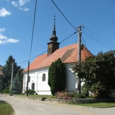
Chapel of Saint Florian
3.4 km
Chapel of Saint Catherine
3.3 km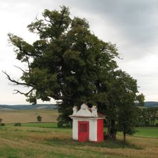
Kaplička
694 m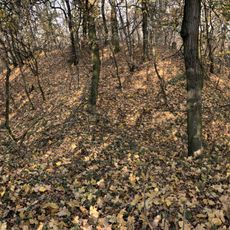
Hradiště Vala
1.4 km
Fara Věteřov
393 m
Na Adamcích
4.8 kmVisited this place? Tap the stars to rate it and share your experience / photos with the community! Try now! You can cancel it anytime.
Discover hidden gems everywhere you go!
From secret cafés to breathtaking viewpoints, skip the crowded tourist spots and find places that match your style. Our app makes it easy with voice search, smart filtering, route optimization, and insider tips from travelers worldwide. Download now for the complete mobile experience.

A unique approach to discovering new places❞
— Le Figaro
All the places worth exploring❞
— France Info
A tailor-made excursion in just a few clicks❞
— 20 Minutes