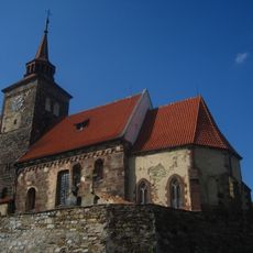
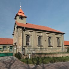
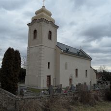
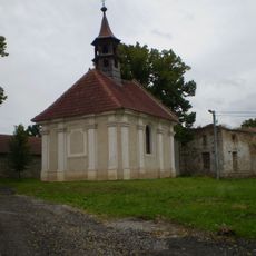
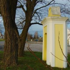
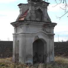
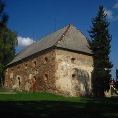
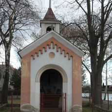
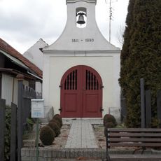
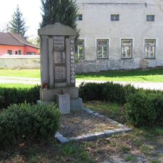
Plaňany, municipality and market town in Central Bohemian Region, Czech Republic
Location: Kolín District
Location: administrative district Kolín
Elevation above the sea: 219 m
Shares border with: Svojšice, Zalešany, Žabonosy, Břežany I, Krychnov, Radim, Libodřice, Vrbčany, Dobřichov, Cerhenice
Email: urad@planany.eu
Website: http://planany.eu
GPS coordinates: 50.05016,15.02951
Latest update: March 10, 2025 00:45
Hradenín
2.5 km
Church of the Annunciation of the Virgin Mary
213 m
Church of the Nativity of Saint John the Baptist
264 m
Sládkova stráň
2.4 km
Hussite church in Plaňany
290 m
Nové Město
3.3 km
Church of Saint Wenceslaus (Žabonosy)
1.6 km
Kouřimská tabule
2.6 km
Čertovy stopy
2.3 km
Socha
2.3 km
Památník v parku v ulici Za Školou v Plaňanech
228 m
Statue of Saint John of Nepomuk
141 m
Socha svatého Jana Nepomuckého
1.6 km
Chapel of Saint Godehard in Poboří
3.1 km
Stone bridge in Vrbčany
2.2 km
Chapel of Virgin Mary
3.2 km
Výklenková kaplička
4.6 km
Mírkovská tvrz
117 m
Dobřichov - pohřebiště Třebická
2.4 km
Chapel of Saints Adalbert, Wenceslaus and John of Nepomuk
3.8 km
Chapel of Saint Wenceslaus
3.1 km
Vrba u Kocandy
5 km
Chapel of Virgin Mary
2.5 km
Pomník padlým ve Fügnerově ulici v Plaňanech
143 m
Rozhledna v Parku Květoslavy Šátkové
3.2 km
Chapel in Zalešany
2.2 km
Pomník padlým v 1. sv. válce na návsi Poboří
3.2 km
Most Tyršovy ulice přes silnici I/12 u Plaňan
621 mReviews
Visited this place? Tap the stars to rate it and share your experience / photos with the community! Try now! You can cancel it anytime.
Discover hidden gems everywhere you go!
From secret cafés to breathtaking viewpoints, skip the crowded tourist spots and find places that match your style. Our app makes it easy with voice search, smart filtering, route optimization, and insider tips from travelers worldwide. Download now for the complete mobile experience.
A unique approach to discovering new places❞
— Le Figaro
All the places worth exploring❞
— France Info
A tailor-made excursion in just a few clicks❞
— 20 Minutes