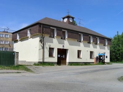
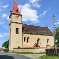
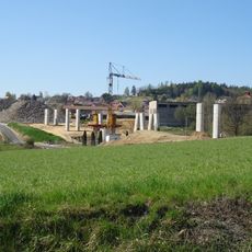
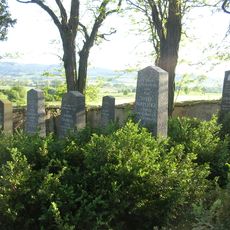
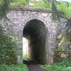
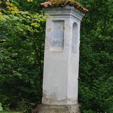
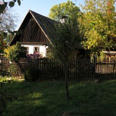
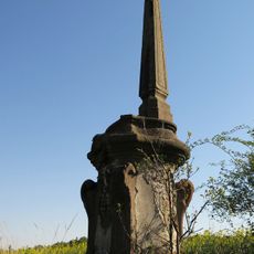
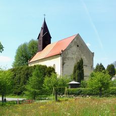
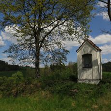
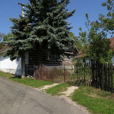
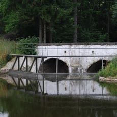
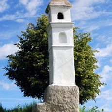
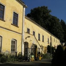
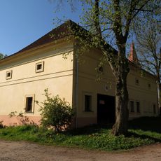
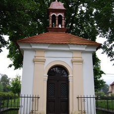
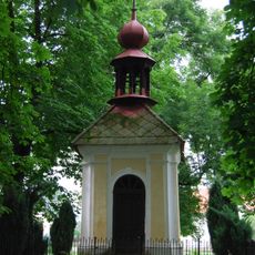
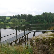
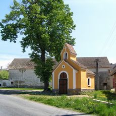
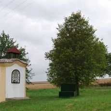
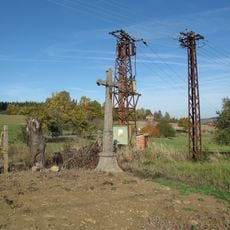
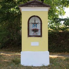
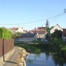
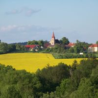
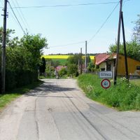
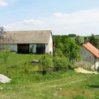
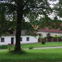
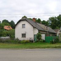
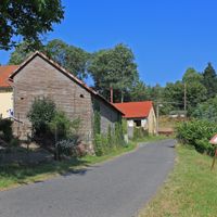
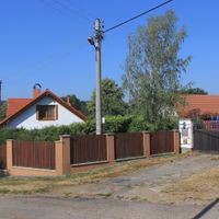
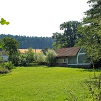
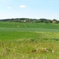
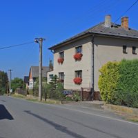
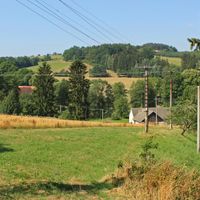
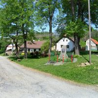
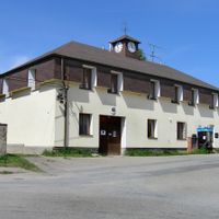
Heřmaničky, village in Benešov District of Central Bohemian region
Location: Benešov District
Location: upravni občinski okoliš z razširjenimi pristojnostmi Votice
Elevation above the sea: 408 m
Shares border with: Vojkov, Sedlec-Prčice, Kosova Hora, Ješetice, Smilkov, Votice
Email: obec.hermanicky@tiscali.cz
Website: https://hermanicky.cz
GPS coordinates: 49.60538,14.58253
Latest update: March 10, 2025 07:19
Church of Saints Simon and Jude in Arnoštovice
1.8 km
Martinice Castle
3.1 km
Estakáda Radíč
3 km
Estakády Heřmaničky
254 m
Jewish cemetery in Prčice
3.4 km
Podchod a propustek pod starou železniční tratí u Ješetic
3.1 km
Boží muka
2.8 km
Usedlost čp. 21
1.5 km
Sousoší svatého Jana a svatého Pavla
2 km
Church of the Assumption of the Virgin Mary
3.1 km
Výklenková kaplička
4.5 km
Usedlost čp. 6
3.2 km
Stone bridge over the outfall of Velký Mastník
2.8 km
Boží muka
3.7 km
Smilkov Castle
2.7 km
Chudobinec
1.9 km
Kaple
5.3 km
Sýpka u čp. 29
3.2 km
Footbridge over the Prčický potok Na Jezerech
3.8 km
Kaple
3.8 km
Lávka před výtokem z Velkého Mastníku
2.8 km
Kaple na návsi ve Velkých heřmanicích
1.4 km
Chapel of Virgin Mary
4 km
Kaplička v Dědkově
3.2 km
Kamenný kříž u křižovatky v Loudilce
915 m
Kaplička u Karasovy Lhoty
995 m
Replacement footbridge Na Jezerech
3.8 km
Lávka přes Prčický potok Potoční - Blatecká
4.2 kmReviews
Visited this place? Tap the stars to rate it and share your experience / photos with the community! Try now! You can cancel it anytime.
Discover hidden gems everywhere you go!
From secret cafés to breathtaking viewpoints, skip the crowded tourist spots and find places that match your style. Our app makes it easy with voice search, smart filtering, route optimization, and insider tips from travelers worldwide. Download now for the complete mobile experience.
A unique approach to discovering new places❞
— Le Figaro
All the places worth exploring❞
— France Info
A tailor-made excursion in just a few clicks❞
— 20 Minutes