
Vlkaneč, village in Kutná Hora District of Central Bohemian region
Location: Kutná Hora District
Location: Часлаў
Elevation above the sea: 430 m
Shares border with: Podmoky, Golčův Jeníkov, Nová Ves u Leštiny, Šebestěnice, Bratčice, Adamov, Zbýšov
Email: ou@vlkanec.cz
Website: http://vlkanec.cz
GPS coordinates: 49.80644,15.40317
Latest update: March 9, 2025 05:03
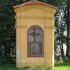
Výklenková kaplička Panny Marie
6.3 km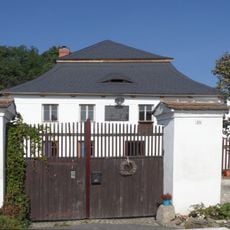
Watermill in Bratčice
5.5 km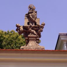
Sousoší Madony v Golčově Jeníkově
5.4 km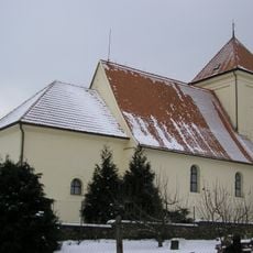
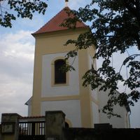
Church of Saint Wenceslaus
5.7 km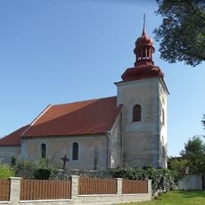
Church of Saint Wenceslaus (Přibyslavice)
4 km
Zájezdní hostinec
5.9 km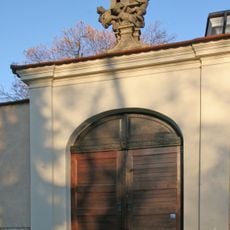
Ohradní zeď u kostela svatého Františka Serafinského v Golčově Jeníkově, s branou
5.4 km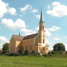
Church of the Nativity of Saint John the Baptist
3.7 km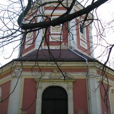
Church of the Assumption of the Virgin Mary
5.8 km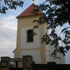
Church of All Saints
1.1 km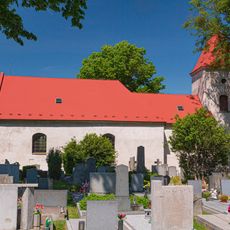
Church of Saint Margaret
4.9 km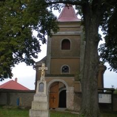
Church of Saint James the Greater
46 m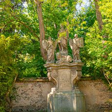
Sousoší
5.4 km
Church of the Name of the Virgin Mary
4.1 km
Evangelical church
4.2 km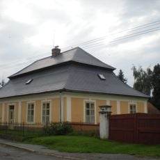
Fara
56 m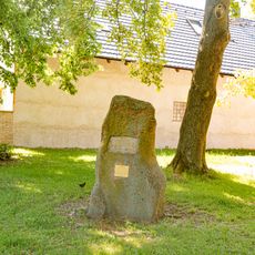
Pomník
5.4 km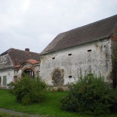
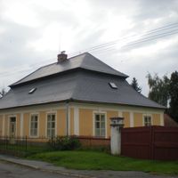
Usedlost čp. 42
196 m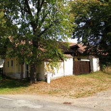
Usedlost čp. 45 s kovárnou
5.2 km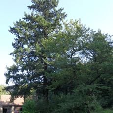
Douglaska v Zálesí
5.2 km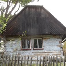
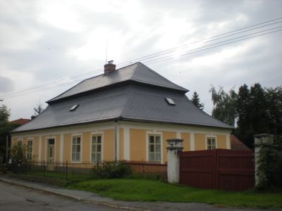
Dům čp. 7
1.8 km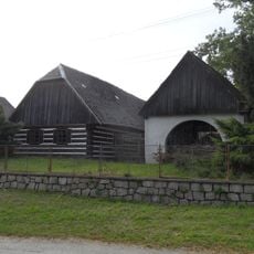
Usedlost čp. 10 a 11
1.7 km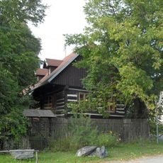
Usedlost čp. 14
1.6 km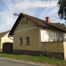
Usedlost čp. 46
5.3 km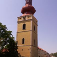
Zvonice v Golčově Jeníkově
5.4 km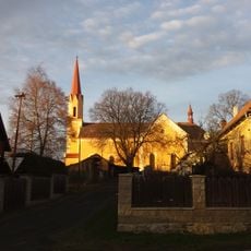
Hlavní obytný objekt bývalého hospodářského dvora a stavba čp. 3
3.6 km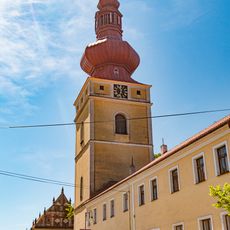
Zvonice
5.4 km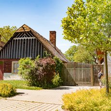
Roubený dům
5.4 kmVisited this place? Tap the stars to rate it and share your experience / photos with the community! Try now! You can cancel it anytime.

Discover hidden gems everywhere you go!
From secret cafés to breathtaking viewpoints, skip the crowded tourist spots and find places that match your style. Our app makes it easy with voice search, smart filtering, route optimization, and insider tips from travelers worldwide. Download now for the complete mobile experience.

A unique approach to discovering new places❞
— Le Figaro
All the places worth exploring❞
— France Info
A tailor-made excursion in just a few clicks❞
— 20 Minutes