Enable Location

We need your location to show you interesting places around you

Discover nearby places

Find interesting locations and hidden gems around you

Precise directions

Get accurate directions and distances to places

Your location is never shared with other users. It's only used when you tap the location button.

Kutná Hora District

Log in to your account

Start exploring — it's free

Trusted by 63,227 travelers worldwide

Continue with Google
Continue with Apple
or

We will send you a code to connect

By continuing, you accept our Terms and Conditions and our Privacy Policy

Check your inbox

We've sent a pincode in your inbox. Please enter the code below.

Discussion Reviews 1 Photos
9.2k Popularity

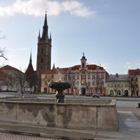
Kutná Hora District, Administrative district in Central Bohemian Region, Czech Republic.

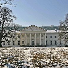
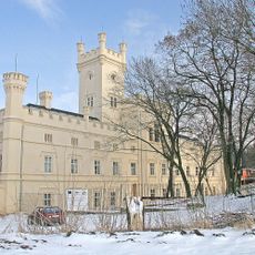
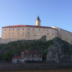
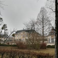
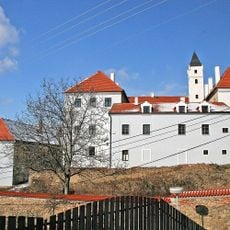
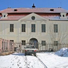
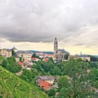
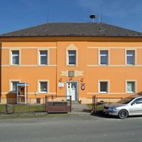
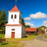
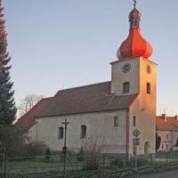
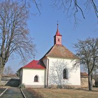
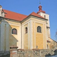
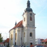
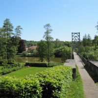
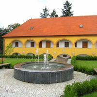
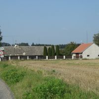
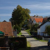
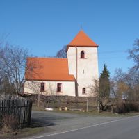
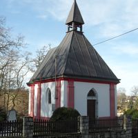
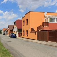
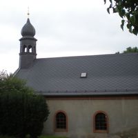
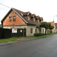
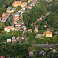
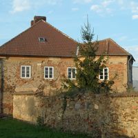
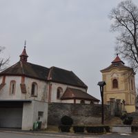
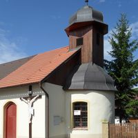
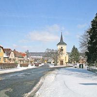
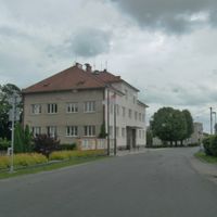
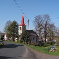
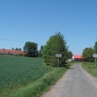
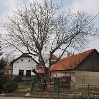
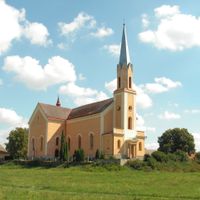
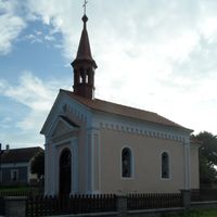
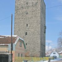
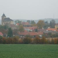
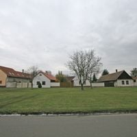
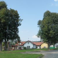
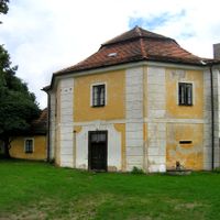
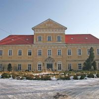
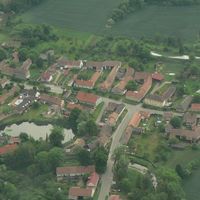
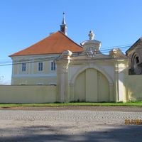
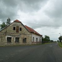
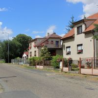
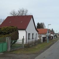
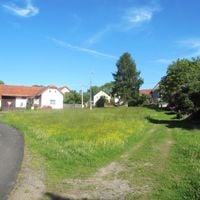
Kutná Hora District is an administrative area in the Central Bohemian Region that stretches across 917 square kilometers between the Elbe and Sázava rivers. The area is characterized by forests and farmland, and it contains numerous historical towns, including the important town of Kutná Hora.

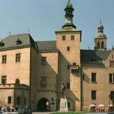
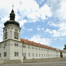
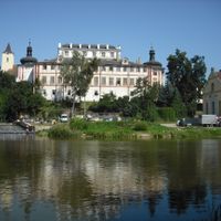
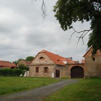
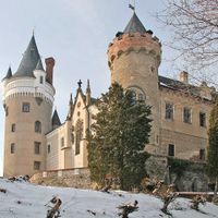
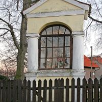
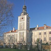
The region experienced its growth during medieval times through extensive silver mining activities that made Kutná Hora a major economic center. This mining tradition shaped the development of towns and the prosperity of the entire area for centuries.

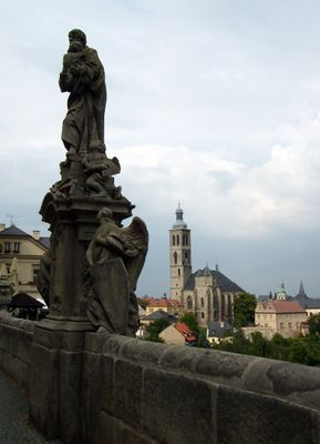
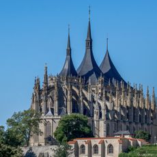
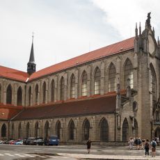
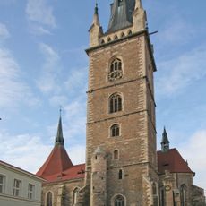
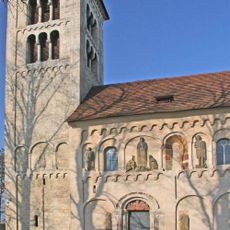
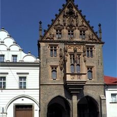
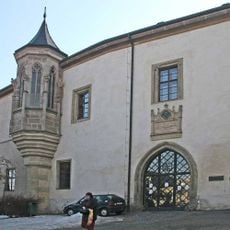
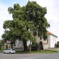
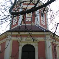
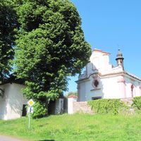
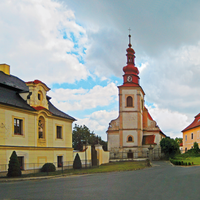
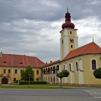
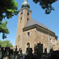
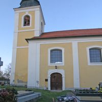
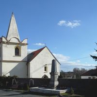
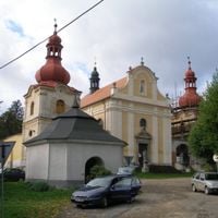
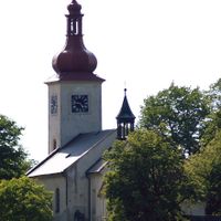
The district holds several UNESCO World Heritage sites, including the Gothic Saint Barbara's Church and the Sedlec Ossuary with its unique bone arrangements. These places shape the region's identity today and draw visitors from around the world.

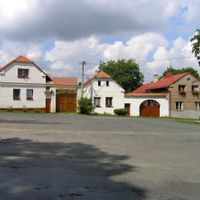
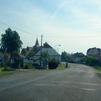
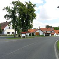
The area is connected by a network of roads that links 88 municipalities and helps visitors navigate between different locations. Regular train connections between major towns like Kutná Hora and Čáslav make it easy to explore the region.

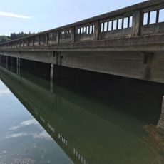
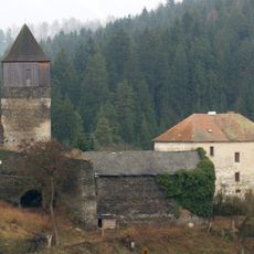
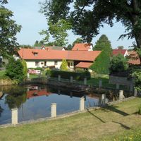
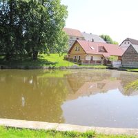
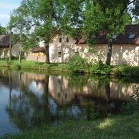
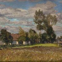
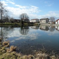
The area is known for the Vavřinecký Pond, which serves as an important water reservoir and has supported local fish farming for generations. This pond is an integral part of the natural landscape and plays a role in the daily life of local communities.

The community of curious travelers

AroundUs brings together thousands of curated places, local tips, and hidden gems, enriched daily by 60,000 contributors worldwide.

Start exploring
Location
Capital city
Kutná Hora
Shares border with
Benešov District, Pardubice District, Kolín District, Havlíčkův Brod District, Chrudim District, Prague-East District
GPS coordinates
49.94833,15.26806
Latest update
December 10, 2025 15:58
Reviews
Share your experience

No review yet

Discussions
Start a discussion...

No discussion yet

« Kutná Hora District - Administrative district in Central Bohemian Region, Czech Republic » is provided by Around Us (aroundus.com). Images and texts are derived from Wikimedia project under a Creative Commons license. You are allowed to copy, distribute, and modify copies of this page, under the conditions set by the license, as long as this note is clearly visible.

Discover hidden gems everywhere you go!

From secret cafés to breathtaking viewpoints, skip the crowded tourist spots and find places that match your style. Our app makes it easy with voice search, smart filtering, route optimization, and insider tips from travelers worldwide. Download now for the complete mobile experience.

Around Us App Screenshot

A unique approach to discovering new places

Le Figaro

All the places worth exploring

France Info

A tailor-made excursion in just a few clicks

20 Minutes

Around Us
Travel Guide & Maps
Download

Send to your phone

QR Code
1

Open the camera app on your mobile.

2

Point at the QR code with your camera. A notification will appear.

3

Tap the notification to open the link.