Enable Location

We need your location to show you interesting places around you

Discover nearby places

Find interesting locations and hidden gems around you

Precise directions

Get accurate directions and distances to places

Your location is never shared with other users. It's only used when you tap the location button.

Kutná Hora

Log in to your account

Start exploring — it's free

Trusted by 61,580 travelers worldwide

Continue with Google
Continue with Apple
or

We will send you a code to connect

By continuing, you accept our Terms and Conditions and our Privacy Policy

Check your inbox

We've sent a pincode in your inbox. Please enter the code below.

Kutná Hora, Medieval mining settlement in Central Bohemia, Czech Republic.

Description

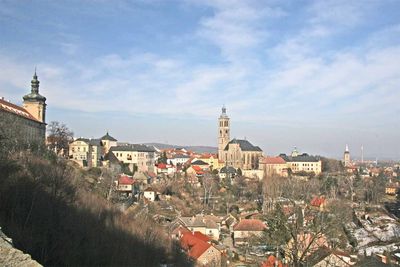
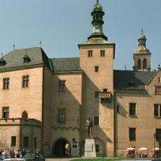
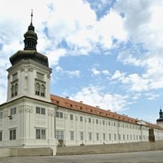
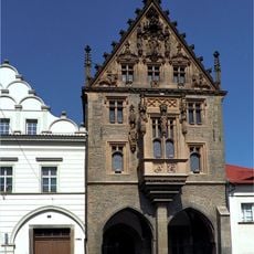
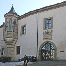
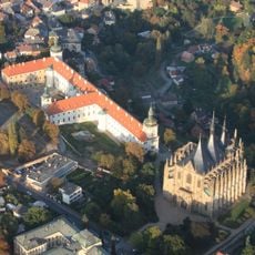
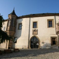
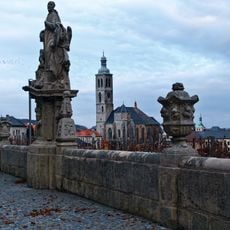
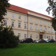
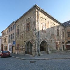
Kutná Hora is a town in Central Bohemia that sits on a plateau above the Vrchlice River. Cobblestone lanes wind past Gothic churches and houses with steep roofs, while narrow passages connect the old center to the surrounding neighborhoods.

History

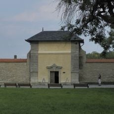
German miners discovered silver veins here in the 13th century and opened shafts that soon became among the richest in the Kingdom of Bohemia. The growing settlement was declared a royal mint, where groschen coins were struck that influenced trade across Europe.

Culture

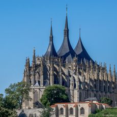
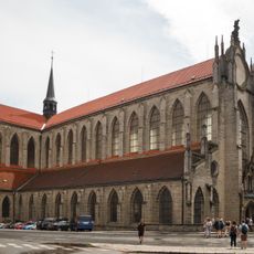
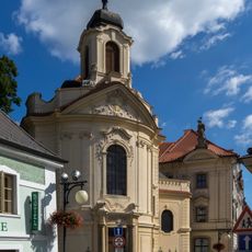
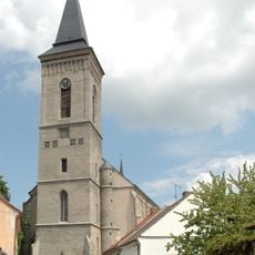
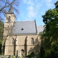
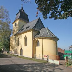
The Gothic Cathedral of Saint Barbara and the Cathedral of Our Lady at Sedlec represent the finest examples of medieval religious architecture in Central Europe.

Practical

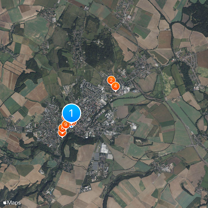
The town center is easy to walk through, though comfortable shoes are advisable due to the uneven cobblestones. Several churches and former mining sites lie outside the old town and require a short walk or a ride on local buses.

Did you know?

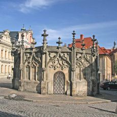
The stone fountain in front of the town hall dates from the 15th century and features twelve figures depicting biblical scenes and local legends. At the mining museum, you can walk through reconstructed underground tunnels that give a sense of how medieval miners worked below the surface.

Elevation above the sea
254 m
Reference
CZ0205533955
Shares border with
Grunta, Libenice, Církvice, Nové Dvory, Třebešice, Křesetice, Malešov, Miskovice, Hlízov, Kluky
GPS coordinates
49.94844,15.26823
Latest update
December 13, 2025 16:35

AroundUs brings together thousands of curated places, local tips, and hidden gems, enriched daily by 60,000 contributors worldwide. Discover all places nearby (Kutná Hora District).

« Kutná Hora - Medieval mining settlement in Central Bohemia, Czech Republic » is provided by Around Us (aroundus.com). Images and texts are derived from Wikimedia project under a Creative Commons license. You are allowed to copy, distribute, and modify copies of this page, under the conditions set by the license, as long as this note is clearly visible.

Discover hidden gems everywhere you go!

From secret cafés to breathtaking viewpoints, skip the crowded tourist spots and find places that match your style. Our app makes it easy with voice search, smart filtering, route optimization, and insider tips from travelers worldwide. Download now for the complete mobile experience.

Around Us App Screenshot

A unique approach to discovering new places

Le Figaro

All the places worth exploring

France Info

A tailor-made excursion in just a few clicks

20 Minutes

Around Us
Travel Guide & Maps
Download

Send to your phone

QR Code
1

Open the camera app on your mobile.

2

Point at the QR code with your camera. A notification will appear.

3

Tap the notification to open the link.