Enable Location

We need your location to show you interesting places around you

Discover nearby places

Find interesting locations and hidden gems around you

Precise directions

Get accurate directions and distances to places

Your location is never shared with other users. It's only used when you tap the location button.

Čáslav

Log in to your account

Start exploring — it's free

Trusted by 62,402 travelers worldwide

Continue with Google
Continue with Apple
or

We will send you a code to connect

By continuing, you accept our Terms and Conditions and our Privacy Policy

Check your inbox

We've sent a pincode in your inbox. Please enter the code below.

Čáslav, Medieval town in Kutná Hora District, Czech Republic

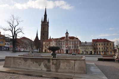
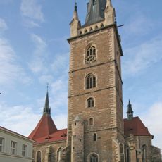
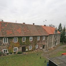
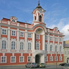
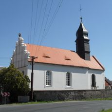
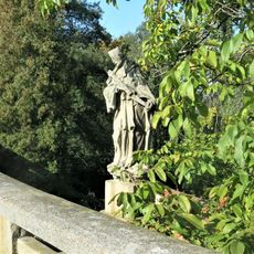
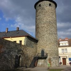
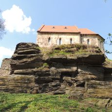
Čáslav is a medieval town in the Kutná Hora District of the Czech Republic with a well-preserved historic center. Its Gothic fortifications include the cylindrical Otakar's Tower and roughly one-third of the original defensive walls that once protected the settlement.

In 1421, the Bohemian parliament gathered here to establish a new government during the Hussite period, marking a crucial moment in the region's political transformation. The town became a center for important decisions that reshaped the political landscape of Bohemia.

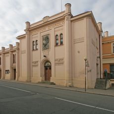
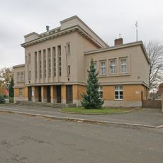
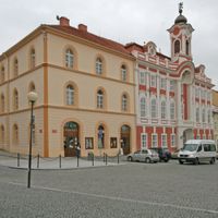
The Čáslav Town Museum, established in 1864, ranks among Bohemia's oldest regional museums dedicated to local heritage. Its collection in the 1884 building shows everyday objects and artifacts that shaped the town's identity over centuries.

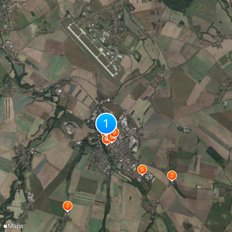
The town is well connected to major cities via the Prague-Žďár nad Sázavou railway line, making it accessible for visits. Northeast of the center lies an active Czech Air Force base that is part of the local infrastructure and landscape.

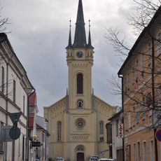
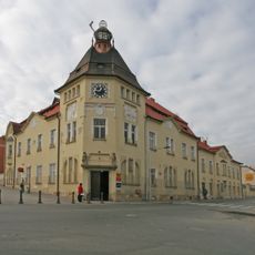
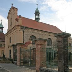
A portion of Hussite general Jan Žižka's skull was discovered in 1910 at the parish church during renovation work. This remarkable relic remains on display in the Žižka Hall at the Town Hall and connects the town to this influential military leader.

The community of curious travelers

AroundUs brings together thousands of curated places, local tips, and hidden gems, enriched daily by 60,000 contributors worldwide.

Start exploring
Location
Elevation above the sea
231 m
Reference
CZ0205534005
Shares border with
Církvice, Třebešice, Chotusice, Žáky, Žleby, Vlačice, Vrdy, Močovice, Drobovice, Krchleby, Tupadly
GPS coordinates
49.91105,15.38978
Latest update
December 20, 2025 13:42
« Čáslav - Medieval town in Kutná Hora District, Czech Republic » is provided by Around Us (aroundus.com). Images and texts are derived from Wikimedia project under a Creative Commons license. You are allowed to copy, distribute, and modify copies of this page, under the conditions set by the license, as long as this note is clearly visible.

Discover hidden gems everywhere you go!

From secret cafés to breathtaking viewpoints, skip the crowded tourist spots and find places that match your style. Our app makes it easy with voice search, smart filtering, route optimization, and insider tips from travelers worldwide. Download now for the complete mobile experience.

Around Us App Screenshot

A unique approach to discovering new places

Le Figaro

All the places worth exploring

France Info

A tailor-made excursion in just a few clicks

20 Minutes

Around Us
Travel Guide & Maps
Download

Send to your phone

QR Code
1

Open the camera app on your mobile.

2

Point at the QR code with your camera. A notification will appear.

3

Tap the notification to open the link.