Žďár, Summit in the Brdy Highlands near Rokycany, Czech Republic
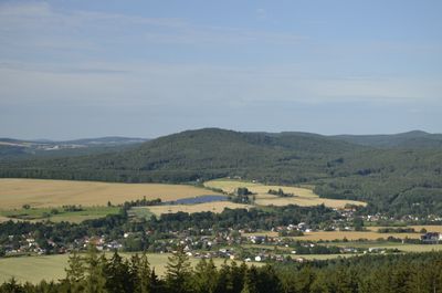
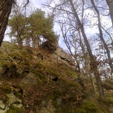
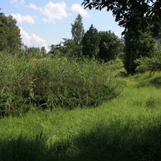
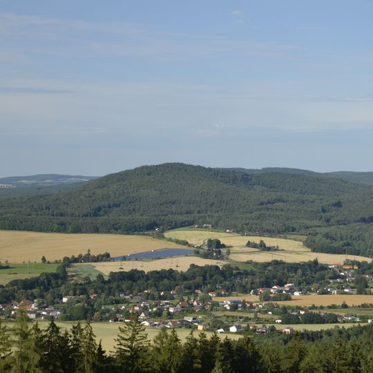
Žďár is a forested hill of 630 metres in the Pavlovsko cadastral area, 4.5 km east of Rokycany, rising 150 to 200 metres above the surrounding land. Its northern slopes are rocky, with rock terraces and boulder fields, and the summit holds the remains of a hillfort.
The summit holds the remains of a hilltop fort dated to the late Bronze Age and possibly the Hallstatt period, in the first half of the first millennium BC. The site lies in the cadastral area of Pavlovsko, 4.5 km east of Rokycany.
The name Žďár refers to a burnt clearing, from the Czech word for burning, and the hill gave its name to the village of Pavlovsko's cadastral area where it lies. Two marked trails, red from Rokycany to Holoubkov and yellow from Svojkovice to Dobřív, bring hikers to the top, and the rocks offer views toward Hůrky and the Radče ridge with its Brno peak.
Two marked hiking trails cross the summit and connect different villages to one another. Red trail markers link Rokycany to Holoubkov, while yellow markings show the path from Svojkovice to Dobřív.
The summit rocks are Cambrian quartz conglomerates and porphyritic diorites, exposed as crags on top. The northern slopes drop 150 to 200 metres and are the rockiest, with frost ribs, walls, towers and boulder fields. From the crags you look down on Hůrky and the Radče ridge with its Brno peak.
The community of curious travelers
AroundUs brings together thousands of curated places, local tips, and hidden gems, enriched daily by 94,497 contributors worldwide.