
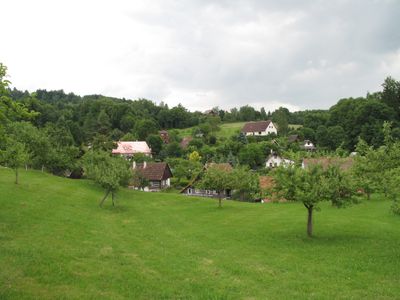
Štěpanice, village in Jičín District of Hradec Králové region
Location: Úbislavice
Elevation above the sea: 390 m
GPS coordinates: 50.48310,15.46970
Latest update: March 15, 2025 15:25

Kumburk
2.1 km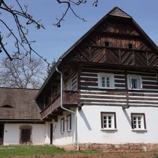
Úbislavice 56
766 m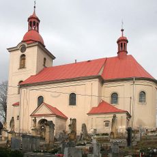
Church of the Nativity of the Virgin Mary
580 m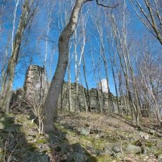
Kumburk
2 km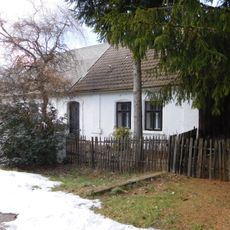
Rumchalpa
2.5 km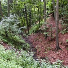
Stav
2.2 km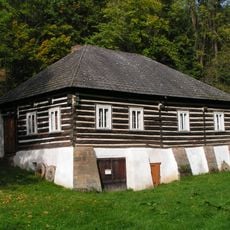
Tužín 1
2.4 km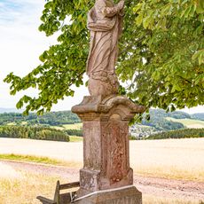
Socha Panny Marie Immaculaty severně od Brda
2.1 km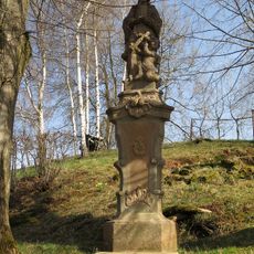
Socha svatého Jana Nepomuckého
2.2 km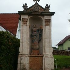
Chapel of Virgin Mary
2.3 km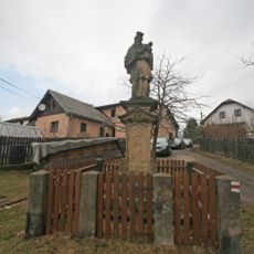
Socha svatého Jana Nepomuckého
1.1 km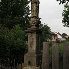
Socha Panny Marie
1.1 km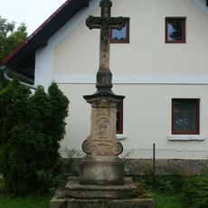
Krucifix
2.2 km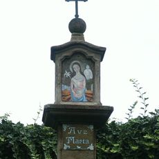
Boží muka
2.2 km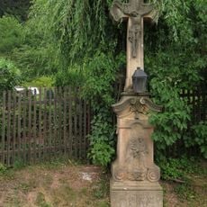
Krucifix
1.6 km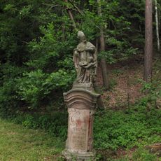
Socha svatého Mikuláše
1.2 km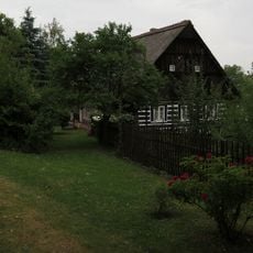
Venkovský dům
1.3 km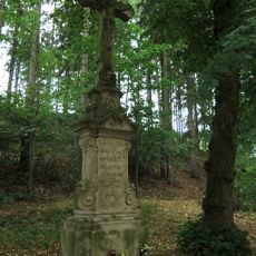
Poštmistrovský krucifix
2.7 km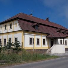
Usedlost čp. 24
2.4 km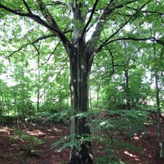
Morávkův buk
1.7 km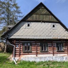
Usedlost čp. 41
806 m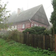
Dům čp. 2
2.6 km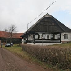
Venkovský dům
1.1 km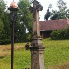
Krucifix
2.6 km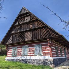
Dům čp. 46
1.1 km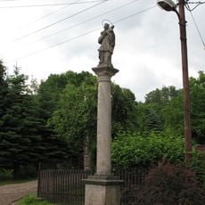
Sloup se sochou svatého Jana Nepomuckého
59 m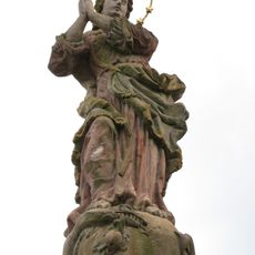
Sloup se sochou Panny Marie Immaculaty
1 km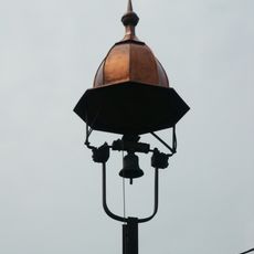
Bell tower in Stav
2.6 kmReviews
Visited this place? Tap the stars to rate it and share your experience / photos with the community! Try now! You can cancel it anytime.
Discover hidden gems everywhere you go!
From secret cafés to breathtaking viewpoints, skip the crowded tourist spots and find places that match your style. Our app makes it easy with voice search, smart filtering, route optimization, and insider tips from travelers worldwide. Download now for the complete mobile experience.

A unique approach to discovering new places❞
— Le Figaro
All the places worth exploring❞
— France Info
A tailor-made excursion in just a few clicks❞
— 20 Minutes