Údolí Doubravy, Nature reserve in Bílek, Czech Republic
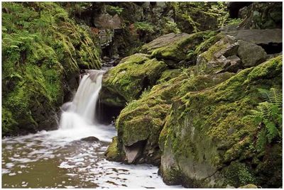
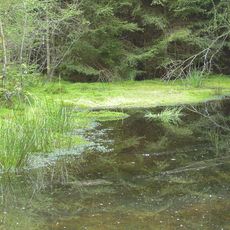
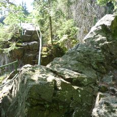
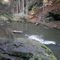
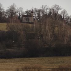
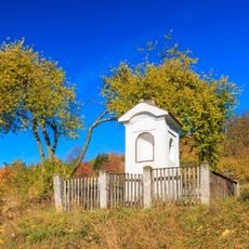
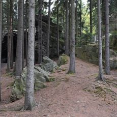
Údolí Doubravy is a nature reserve near Bílek featuring a river valley carved through impressive rock formations and steep canyon walls. The landscape includes dense forest coverage, a flowing river with natural pools, and distinctive rock shapes created by water erosion over time.
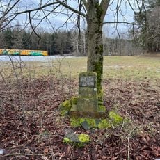
The site gained official protection status in 1986 as part of a larger regional conservation effort. This designation marked an important milestone in safeguarding the geological formations and natural habitat from further development.
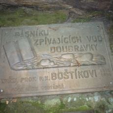
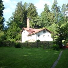
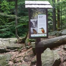
The valley serves as a place where people connect with the natural world through walking and observing wildlife in its forested landscape. Local communities view the area as an important refuge for outdoor activities and nature appreciation.
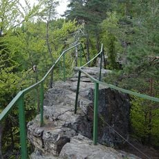
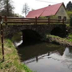
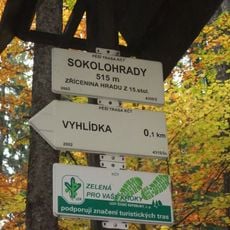
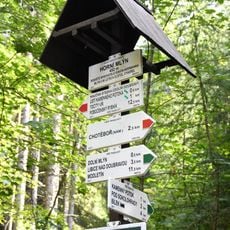
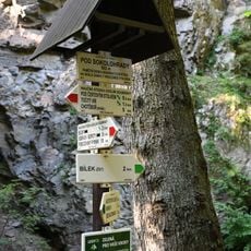
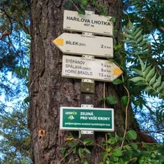
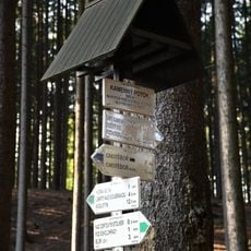
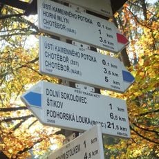
The reserve can be accessed via marked hiking trails with multiple entry points in the surrounding area. Visitors should wear sturdy footwear due to rocky terrain and uneven surfaces along the pathways.
The valley contains notable rock formations that draw climbers and natural waterfall features that appear most impressive after heavy rainfall. These elements developed through thousands of years of river erosion and showcase the power of water to shape stone.
Location: Bílek
Inception: June 1, 1986
GPS coordinates: 49.71590,15.71320
Latest update: December 12, 2025 09:05
Písník u Sokolovce
530 m
Sokolohrady
167 m
Devil's Table
222 m
Stone bridge in Bílek
1.9 km
Mikšova jáma
934 m
Skautská mohyla u Horního mlýna
1.1 km
Čertův stolek
2.6 km
Jindřich Roob memorial in Chotěboř
1.6 km
World War II memorial at train station in Chotěboř
2.2 km
Ignát Herrmann plaque at Horní mlýn, Chotěboř
1.2 km
Chapel of Saint Anne
2.3 km
Kaplička
2.8 km
Pamětní deska Františka Xavera Boštíka
173 m
Rozcestník Sokolohrady
117 m
Rozcestník Horní mlýn
1.1 km
Monument Antonín Starý
1.6 km
Rozcestník Pod Sokolohrady
166 m
Bývalá čerpací stanice vodojemu Bílek u Chotěboře
1.5 km
Rozcestník Hařilova Lhotka
2.5 km
Pamětní kříž na křižovatce v Marievsi
2.6 km
Rozcestník Pod Čertovým stolkem
138 m
Rozcestník Nad Čertovým stolkem
256 m
Rozcestník Ústí Kamenného potoka
685 m
Rozcestník Kamenný potok
507 m
Pamětní kříž u rozcestí silnice Chotěboř - Příjemky
2.4 km
Rozcestník Točitý vír
727 m
Naučná stezka Údolím Doubravy
242 m
Koukalky
2 kmVisited this place? Tap the stars to rate it and share your experience / photos with the community! Try now! You can cancel it anytime.
Discover hidden gems everywhere you go!
From secret cafés to breathtaking viewpoints, skip the crowded tourist spots and find places that match your style. Our app makes it easy with voice search, smart filtering, route optimization, and insider tips from travelers worldwide. Download now for the complete mobile experience.
A unique approach to discovering new places❞
— Le Figaro
All the places worth exploring❞
— France Info
A tailor-made excursion in just a few clicks❞
— 20 Minutes