Enable Location

We need your location to show you interesting places around you

Discover nearby places

Find interesting locations and hidden gems around you

Precise directions

Get accurate directions and distances to places

Your location is never shared with other users. It's only used when you tap the location button.

Údolí Jizery u Semil a Bítouchova

Log in to your account

Start exploring — it's free

Trusted by 62,118 travelers worldwide

Continue with Google
Continue with Apple
or

We will send you a code to connect

By continuing, you accept our Terms and Conditions and our Privacy Policy

Check your inbox

We've sent a pincode in your inbox. Please enter the code below.

Údolí Jizery u Semil a Bítouchova

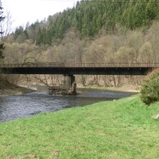
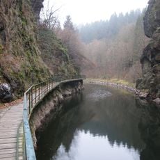
Údolí Jizery u Semil a Bítouchova, Nature reserve in Semily, Czech Republic.

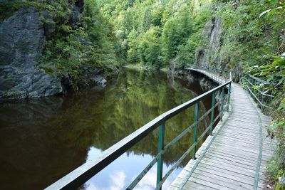
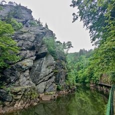
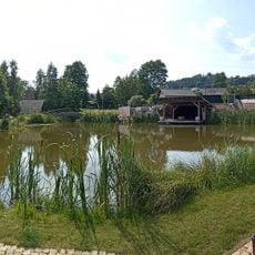
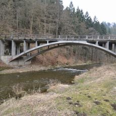
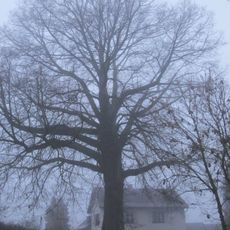
Údolí Jizery u Semil a Bítouchova is a protected area in the valley of the Jizera River, combining forests, meadows, and riverside habitats. The reserve stretches across the landscape and shows different zones where various plants and animals live.

The area became protected in 1951 when authorities recognized the need to shield the valley from expanding industrial activity. This action marked an important moment in safeguarding the region's natural character.

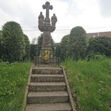
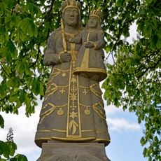
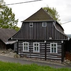
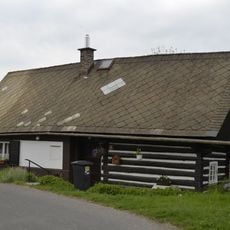
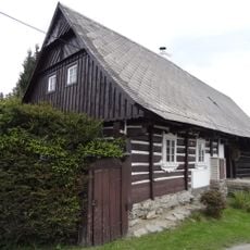
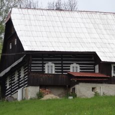
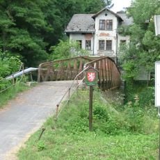
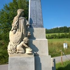
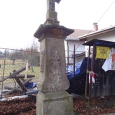
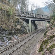
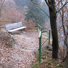
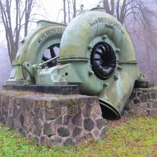
The area is shaped by people who have inhabited and worked this land for many generations. You can see how they continue to move through and use the space according to long-established patterns.

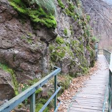
You can follow several marked trails that connect the towns and guide you through different parts of the reserve. Information boards along the paths help you understand the plants and animals you encounter.

The reserve contains special monitoring zones where researchers study how native birds interact with the riverside plants. This research helps reveal how different parts of nature depend on each other.

The community of curious travelers

AroundUs brings together thousands of curated places, local tips, and hidden gems, enriched daily by 60,000 contributors worldwide.

Start exploring
Location
Location
Inception
January 1, 1951
GPS coordinates
50.62280,15.30450
Latest update
December 12, 2025 16:43
Around this place
Via ferrata Vodní brána
Czech Republic

Via ferrata Vodní brána

843 m
Spálov bridges
Czech Republic

Spálov bridges

1.3 km
Sejkorská kaplička
Czech Republic

Sejkorská kaplička

2.2 km
Galerie
Czech Republic

Galerie

279 m
Calvary in Chuchelna
Czech Republic

Calvary in Chuchelna

2.3 km
Železniční most přes Jizeru ve Spálově
Czech Republic

Železniční most přes Jizeru ve Spálově

1.2 km
Statue of Virgin Mary of Bozkov in Horská Kamenice
Czech Republic

Statue of Virgin Mary of Bozkov in Horská Kamenice

2.1 km
Horská Kamenice ev. No. 1
Czech Republic

Horská Kamenice ev. No. 1

2.3 km
Horská Kamenice 56
Czech Republic

Horská Kamenice 56

2.3 km
World Wars Memorial in Chuchelna
Czech Republic

World Wars Memorial in Chuchelna

2.2 km
Bell tower in Bítouchov
Czech Republic

Bell tower in Bítouchov

1.7 km
Horská Kamenice ev. No. 13
Czech Republic

Horská Kamenice ev. No. 13

2.3 km
Zahradní centrum Chuchelna
Czech Republic

Zahradní centrum Chuchelna

1.7 km
Horská Kamenice 48
Czech Republic

Horská Kamenice 48

2.3 km
World War I memorial/grave in Chuchelna
Czech Republic

World War I memorial/grave in Chuchelna

2.1 km
Bridge of road II/288 over the Kamenice in Spálov
Czech Republic

Bridge of road II/288 over the Kamenice in Spálov

1.3 km
Lípa ve Spálově
Czech Republic

Lípa ve Spálově

1.2 km
Bítouchovská lávka
Czech Republic

Bítouchovská lávka

1.7 km
Pamětní deska Jana Borského u Riegrovy stezky
Czech Republic

Pamětní deska Jana Borského u Riegrovy stezky

164 m
Pomník padlým v Bítouchově u Semil
Czech Republic

Pomník padlým v Bítouchově u Semil

1.6 km
Wayside cross in Proseč
Czech Republic

Wayside cross in Proseč

1.1 km
Gallery footbridge at Riegrova stezka
Czech Republic

Gallery footbridge at Riegrova stezka

861 m
Pomník padlým v 1. světové válce na hřbitově v Horské Kamenici
Czech Republic

Pomník padlým v 1. světové válce na hřbitově v Horské Kamenici

2.3 km
Kříž nad silnicí z Semil do Bítouchova
Czech Republic

Kříž nad silnicí z Semil do Bítouchova

2 km
Bridge of road II/288 over railway line in Spálov
Czech Republic

Bridge of road II/288 over railway line in Spálov

1.4 km
Böhmova vyhlídka
Czech Republic

Böhmova vyhlídka

252 m
Kovová plastika před školou v Jizerské ulici v Semilech
Czech Republic

Kovová plastika před školou v Jizerské ulici v Semilech

2.1 km
Původní Francisovy turbiny z vodní elektrárny Spálov
Czech Republic

Původní Francisovy turbiny z vodní elektrárny Spálov

1.2 km
Show the full map
« Údolí Jizery u Semil a Bítouchova - Nature reserve in Semily, Czech Republic » is provided by Around Us (aroundus.com). Images and texts are derived from Wikimedia project under a Creative Commons license. You are allowed to copy, distribute, and modify copies of this page, under the conditions set by the license, as long as this note is clearly visible.

Discover hidden gems everywhere you go!

From secret cafés to breathtaking viewpoints, skip the crowded tourist spots and find places that match your style. Our app makes it easy with voice search, smart filtering, route optimization, and insider tips from travelers worldwide. Download now for the complete mobile experience.

Around Us App Screenshot

A unique approach to discovering new places

Le Figaro

All the places worth exploring

France Info

A tailor-made excursion in just a few clicks

20 Minutes

Around Us
Travel Guide & Maps
Download

Send to your phone

QR Code
1

Open the camera app on your mobile.

2

Point at the QR code with your camera. A notification will appear.

3

Tap the notification to open the link.