Údolí Oslavy a Chvojnice, Nature reserve across Vysočina and South Moravian regions, Czech Republic
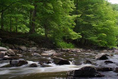
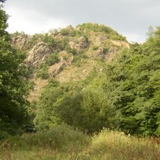
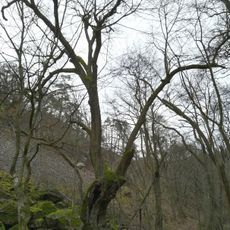
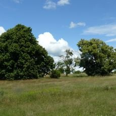
Údolí Oslavy a Chvojnice is a protected area stretching along the Oslava River for several kilometers from Náměšť to Čučice and including the Chvojnice tributary. The terrain features steep canyons with cliff walls, meadows, and forest patches that together create a mosaic of different habitats.
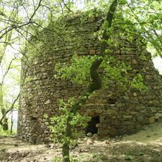
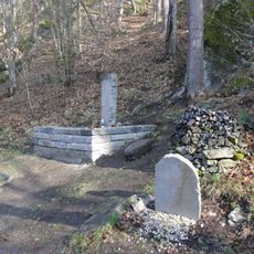
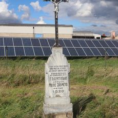
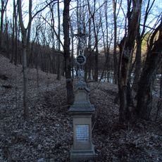
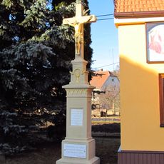
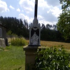
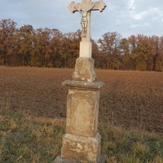
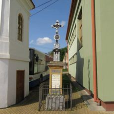
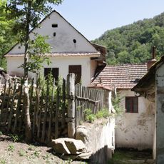
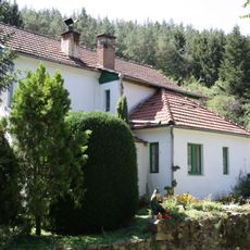
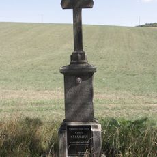
The area was already settled in the Middle Ages, as shown by the remains of several castles that once controlled the valley. The river section gained official protection status in 1974 to preserve the valuable geological formations and natural environment.
The valley has been a settlement zone for centuries, and scattered castle ruins still shape how people see this landscape. You can observe how humans and nature have coexisted here across different periods.
Sturdy footwear is needed as trails cross uneven ground and sometimes follow steep slopes. Visitors should expect wet or slippery conditions, especially after rain or near the river.
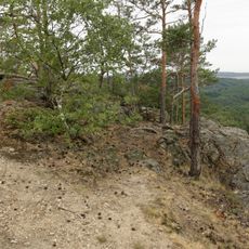
The river system has carved deep channels through hard granulite rock, creating spectacular cliff walls that sometimes exceed 30 meters in height. These rock formations provide ideal conditions for rare plants that thrive in such extreme settings.
Location: Březník
Location: Čučice
Location: Ketkovice
Location: Kladeruby nad Oslavou
Location: Kralice nad Oslavou
Location: Kuroslepy
Location: Mohelno
Location: Sedlec
Location: Senorady
Inception: April 11, 1974
GPS coordinates: 49.13670,16.23330
Latest update: December 12, 2025 17:42
Levnov
542 m
Kraví Hora Castle
382 m
Kříž na západním okraji Kuroslep
2.8 km
Memorial of British army helicopter crash victims
2.9 km
Lípa u Chvojnice
416 m
Boží muka
2.6 km
Bell tower in Senorady
1.6 km
Kříž v zatáčce východně od Mohelna
3 km
Kříž na Skřipině
2.2 km
Velká Skála
980 m
Kříž u hasičské zbrojnice v Kuroslepech
2.6 km
Krucifix s datem 1803
2.1 km
Pamětní deska založení školy 1926 v Kuroslepech
2.6 km
Kříž u Ketkovic
2.8 km
Kříž u silnice 392 v Kuroslepech
2.6 km
Kříž u domu 64 v Kuroslepech
2.6 km
Kříž u silnice 392 u Mohelna
2.5 km
Pamětní deska Antonína Pelána v Kuroslepech
2.6 km
Pamětní deska obětem 1. sv. války v Kuroslepech
2.6 km
Kříž v Senoradech u zvonice na návsi
1.6 km
Pamětní deska Miloše Oulehly
2.6 km
Kalimeta
2.5 km
Pamětní deska Stanislava Rejthara v Kuroslepech
2.6 km
Ketkovický mlýn
825 m
Senoradský mlýn
125 m
Kříž
2.8 km
Chapel of Saint John of Nepomuk
2.5 km
Kozének
2.9 kmVisited this place? Tap the stars to rate it and share your experience / photos with the community! Try now! You can cancel it anytime.
Discover hidden gems everywhere you go!
From secret cafés to breathtaking viewpoints, skip the crowded tourist spots and find places that match your style. Our app makes it easy with voice search, smart filtering, route optimization, and insider tips from travelers worldwide. Download now for the complete mobile experience.
A unique approach to discovering new places❞
— Le Figaro
All the places worth exploring❞
— France Info
A tailor-made excursion in just a few clicks❞
— 20 Minutes