
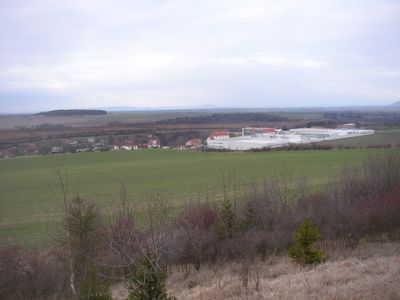
Želevčice, part of Slaný
Location: Slaný
Elevation above the sea: 250 m
GPS coordinates: 50.25830,14.10330
Latest update: March 22, 2025 02:07

Bakovský potok
2.3 km
Jewish cemetery in Slaný
2.6 km
Blahotice Castle
2.7 km
Church of Saint James the Greater in Otruby
2.3 km
Hradiště
1.7 km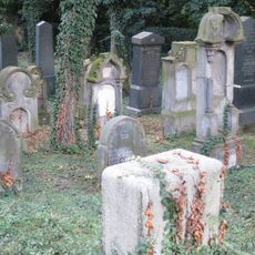
Jewish cemetery in Zlonice
2.5 km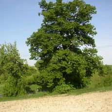
Lípa u Rosů
1.1 km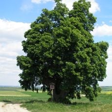
Lípa u Vítova
2.6 km
Chapel of Virgin Mary (Beřovice)
1.8 km
Valerián Pejša monument
1.5 km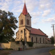
Church of Saints Simon and Jude in Dolín
1 km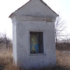
Chapel at the road to Zlonice
1.7 km
Chapel at the road to Dolín
1.1 km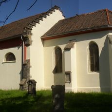
Church of Saint Wenceslaus
2.5 km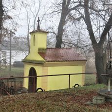
Chapel
961 m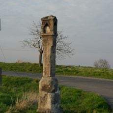
Column shrine at Dřínov
2.6 km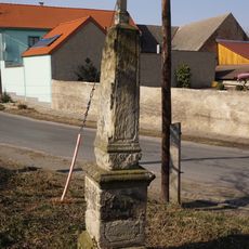
Wayside cross
1.5 km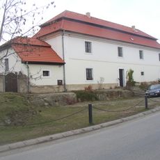
Zemědělský dvůr čp. 6
218 m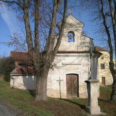
Chapel of Saint Adalbert
2.2 km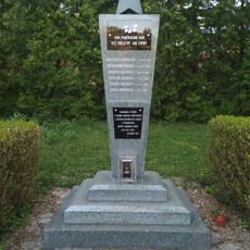
Pomník padlým rudoarmějcům na hřbitově ve Slaném
2.7 km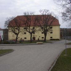
Sýpka
75 m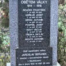
World wars memorial in Bakov
1 km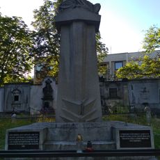
Pomník padlým v 1. světové válce
2.7 km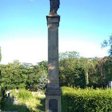
Mariánský sloup na hřbitově ve Slaném
2.7 km
Chapel of Our Lady and Saint Christopher
2.7 km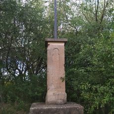
Kříž u polní cesty na severovýchodním okraji Slaného
2.2 km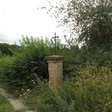
Kříž u polní cesty v severní části Slaného
2.5 km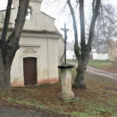
Kříž u kaple v Drchkově
2.2 kmReviews
Visited this place? Tap the stars to rate it and share your experience / photos with the community! Try now! You can cancel it anytime.
Discover hidden gems everywhere you go!
From secret cafés to breathtaking viewpoints, skip the crowded tourist spots and find places that match your style. Our app makes it easy with voice search, smart filtering, route optimization, and insider tips from travelers worldwide. Download now for the complete mobile experience.

A unique approach to discovering new places❞
— Le Figaro
All the places worth exploring❞
— France Info
A tailor-made excursion in just a few clicks❞
— 20 Minutes