Enable Location

We need your location to show you interesting places around you

Discover nearby places

Find interesting locations and hidden gems around you

Precise directions

Get accurate directions and distances to places

Your location is never shared with other users. It's only used when you tap the location button.

Slaný

Log in to your account

Start exploring — it's free

Trusted by 62,313 travelers worldwide

Continue with Google
Continue with Apple
or

We will send you a code to connect

By continuing, you accept our Terms and Conditions and our Privacy Policy

Check your inbox

We've sent a pincode in your inbox. Please enter the code below.

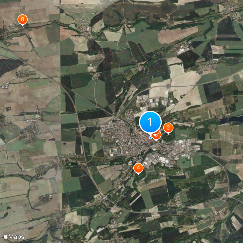
Slaný, Historic municipality in Kladno District, Czech Republic.

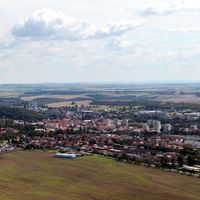
Slaný is a town in Kladno District, situated roughly 25 kilometers northwest of Prague. It spreads across the Prague Plateau, with a distinctive hilltop landmark rising above the surrounding landscape.

Benedictine monks established a hospital and church dedicated to Saint Gotthard in 1136, marking the beginning of organized settlement. This monastic foundation led to the growth of a medieval community that eventually received town privileges.

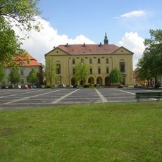
The town center displays Gothic structures and shows how a medieval settlement integrated religious and civic buildings into its community spaces.

The town has several schools and educational facilities spread throughout the area. Access from Prague is straightforward, making it easy for day visitors to explore the community and its surroundings.

A 20th-century speedway track operated in the area and hosted significant international motorcycle racing events. The stadium still stands as evidence of the town's role in motorsport history during the mid-1900s.

The community of curious travelers

AroundUs brings together thousands of curated places, local tips, and hidden gems, enriched daily by 60,000 contributors worldwide.

Start exploring
Location
Elevation above the sea
234 m
Reference
CZ0203532819
Shares border with
Neprobylice, Knovíz, Jemníky, Hrdlív, Beřovice, Třebichovice, Tuřany, Přelíc, Smečno, Libovice, Žižice, Studeněves, Kutrovice, Královice, Dřínov
GPS coordinates
50.23054,14.08701
Latest update
December 20, 2025 13:07
« Slaný - Historic municipality in Kladno District, Czech Republic » is provided by Around Us (aroundus.com). Images and texts are derived from Wikimedia project under a Creative Commons license. You are allowed to copy, distribute, and modify copies of this page, under the conditions set by the license, as long as this note is clearly visible.

Discover hidden gems everywhere you go!

From secret cafés to breathtaking viewpoints, skip the crowded tourist spots and find places that match your style. Our app makes it easy with voice search, smart filtering, route optimization, and insider tips from travelers worldwide. Download now for the complete mobile experience.

Around Us App Screenshot

A unique approach to discovering new places

Le Figaro

All the places worth exploring

France Info

A tailor-made excursion in just a few clicks

20 Minutes

Around Us
Travel Guide & Maps
Download

Send to your phone

QR Code
1

Open the camera app on your mobile.

2

Point at the QR code with your camera. A notification will appear.

3

Tap the notification to open the link.