Chest opened
+${chestReward.xp} XP
Explorer
NOUVEAU ×${chestReward.collectible.quantity}
tapez pour fermer

See the monuments around you in AR Open chests in the app

Around Us is built for your phone — point your camera at the streets and discover the monuments and places around you in augmented reality. Around Us is built for your phone — chests unlock when you walk, explore and capture nearby places.

Enable Location

We need your location to show you interesting places around you

Discover nearby places

Find interesting locations and hidden gems around you

Precise directions

Get accurate directions and distances to places

Your location is never shared with other users. It's only used when you tap the location button.

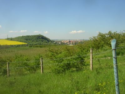
Slánská hora

Log in to your account

Start exploring — it's free

Trusted by 85,984 travelers worldwide

Continue with Google
Continue with Apple
or

We will send you a code to connect

By continuing, you accept our Terms and Conditions and our Privacy Policy

Check your inbox

We've sent a pincode in your inbox. Please enter the code below.

Discussion Reviews 1 Photos
4.2k Popularity

Slánská hora, Natural monument and protected area in Slaný, Czech Republic.

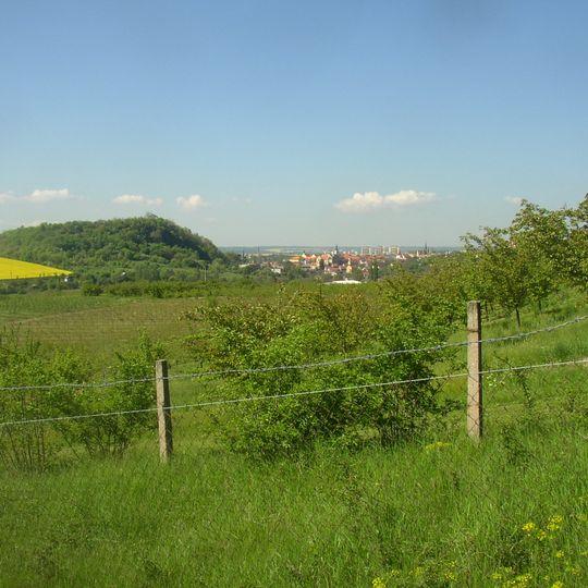
Slánská hora is a volcanic hill rising to 330 meters with steep basalt cliffs on its northern and western slopes. The slopes are covered in mixed forest and contain small caves.

Archaeological findings show human settlement spanning more than 5000 years, from the late Stone Age through the Iron Age. The area was home to different early peoples over long periods.

Three large crosses have stood at the summit since 1662, marking the struggles of local people during the Thirty Years' War. They shape the skyline and are visible from many directions around the town.

The hill offers seven different via ferrata routes with difficulty levels ranging from B to D-E, with equipment rental available in Slaný. The routes suit both beginners and more experienced climbers.

The town of Slaný takes its name from two former saline springs at the mountain's base, though these waters no longer contain salt. This detail links the site's geology to the town's history.

The community of curious travelers

AroundUs brings together thousands of curated places, local tips, and hidden gems, enriched daily by 60,000 contributors worldwide.
Start exploring
Location
Inception
February 1, 1998
GPS coordinates
50.23180,14.09540
Latest update
September 12, 2026 17:09
Around this place
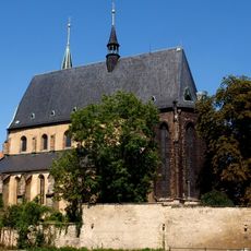
Church of Saint Gotthard
Czech Republic

Church of Saint Gotthard

0.3 mi
Monastery in Slaný
Czech Republic

Monastery in Slaný

0.3 mi
Church of Holy Trinity
Czech Republic

Church of Holy Trinity

0.3 mi
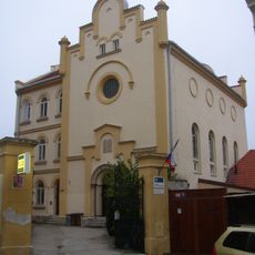
Synagogue in Slaný
Czech Republic

Synagogue in Slaný

0.3 mi
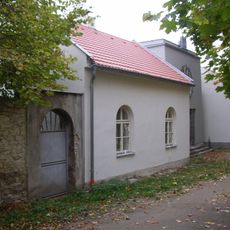
Jewish cemetery in Slaný
Czech Republic

Jewish cemetery in Slaný

0.3 mi
Vlastivědné muzeum ve Slaném
Czech Republic

Vlastivědné muzeum ve Slaném

0.3 mi
Piarist school and chapel of Our Lady
Czech Republic

Piarist school and chapel of Our Lady

0.3 mi
Modletický dům
Czech Republic

Modletický dům

0.3 mi
U Brodu čp. 348
Czech Republic

U Brodu čp. 348

0.2 mi
Městské opevnění ve Slaném
Czech Republic

Městské opevnění ve Slaném

0.3 mi
Church of Saint Lawrence
Czech Republic

Church of Saint Lawrence

0.2 mi
Hotel Pošta
Czech Republic

Hotel Pošta

0.3 mi
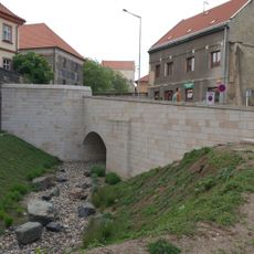
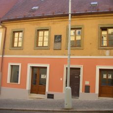
Bridge of Vinařického street over the moat in Slaný
Czech Republic

Bridge of Vinařického street over the moat in Slaný

0.3 mi
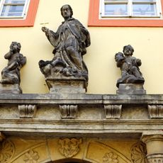
Statue of John of Nepomuk on the Modletice House
Czech Republic

Statue of John of Nepomuk on the Modletice House

0.3 mi
Vinařického čp. 12
Czech Republic

Vinařického čp. 12

0.3 mi
Nedvědovský dům
Czech Republic

Nedvědovský dům

0.4 mi
Pod Horou čp. 319
Czech Republic

Pod Horou čp. 319

0.2 mi
Sýpka
Czech Republic

Sýpka

0.3 mi
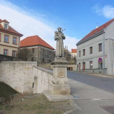
Socha svatého Antonína Paduánského v ulici Vinařického ve Slaném
Czech Republic

Socha svatého Antonína Paduánského v ulici Vinařického ve Slaném

0.3 mi
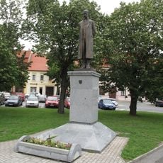
Masarykův pomník na Masarykově náměstí ve Slaném
Czech Republic

Masarykův pomník na Masarykově náměstí ve Slaném

0.4 mi
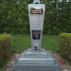
Pomník padlým rudoarmějcům na hřbitově ve Slaném
Czech Republic

Pomník padlým rudoarmějcům na hřbitově ve Slaném

0.3 mi
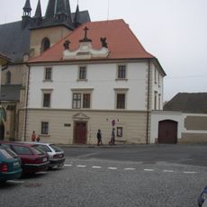
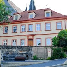
Deanery in Slaný
Czech Republic

Deanery in Slaný

0.3 mi
Vinařického čp. 15
Czech Republic

Vinařického čp. 15

0.3 mi
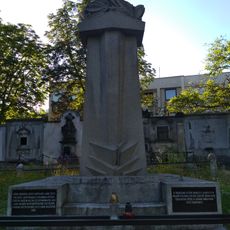
Pomník padlým v 1. světové válce
Czech Republic

Pomník padlým v 1. světové válce

0.3 mi
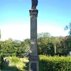
Mariánský sloup na hřbitově ve Slaném
Czech Republic

Mariánský sloup na hřbitově ve Slaném

0.3 mi
Most ulice Na Kopečku přes Červený potok ve Slaném
Czech Republic

Most ulice Na Kopečku přes Červený potok ve Slaném

0.2 mi
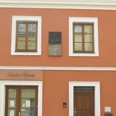
Pamětní deska Josefa Navrátila na domě Vinařického 11 ve Slaném
Czech Republic

Pamětní deska Josefa Navrátila na domě Vinařického 11 ve Slaném

0.3 mi
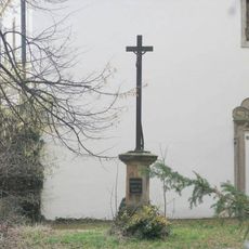
Kříž za kostelem Nejsvětější Trojice ve Slaném
Czech Republic

Kříž za kostelem Nejsvětější Trojice ve Slaném

0.3 mi
Show the full map
Reviews
Share your experience

No review yet

Discussions
Start a discussion...

No discussion yet

« Slánská hora - Natural monument and protected area in Slaný, Czech Republic » is provided by Around Us (aroundus.com). Images and texts are derived from Wikimedia project under a Creative Commons license. You are allowed to copy, distribute, and modify copies of this page, under the conditions set by the license, as long as this note is clearly visible.

Discover hidden gems everywhere you go!

From secret cafés to breathtaking viewpoints, skip the crowded tourist spots and find places that match your style. Our app makes it easy with voice search, smart filtering, route optimization, and insider tips from travelers worldwide. Download now for the complete mobile experience.
Around Us App Screenshot

A unique approach to discovering new places

Le Figaro

All the places worth exploring

France Info

A tailor-made excursion in just a few clicks

20 Minutes

Around Us
Travel Guide & Maps
Download

Send to your phone

QR Code
1

Open the camera app on your mobile.

2

Point at the QR code with your camera. A notification will appear.

3

Tap the notification to open the link.