
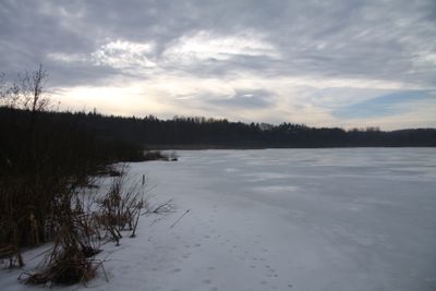
Záhorský rybník, protected area in Czech Republic
Location: Vodňany
Inception: March 1, 1997
GPS coordinates: 49.14610,14.12080
Latest update: March 13, 2025 11:37
Haniperk
2.6 km
Skočický hrad
3.2 km
Bavorská stráň
3.5 km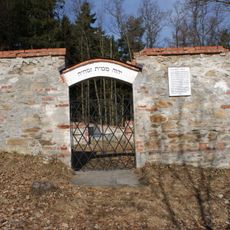
Jewish cemetery in Vodňany
1.2 km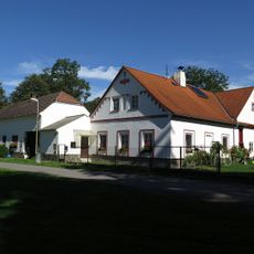
Ducháčův mlýn
3.4 km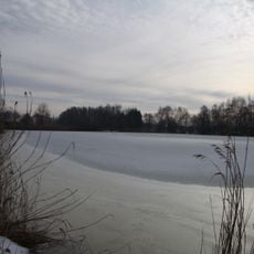
Malý Ústavní rybník
3 km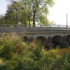
Bridge of road II/141 over the Bílský potok in Svinětice
1.8 km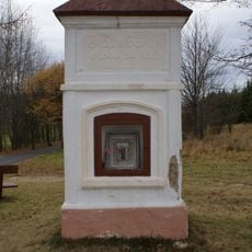
Chapel of Saint Mary Magdalene
1.2 km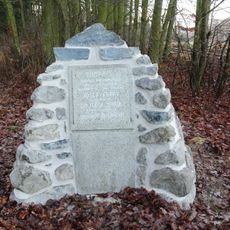
Pomník obětem náletu
831 m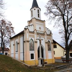
Kaple sv. Šimona a Judy
2.6 km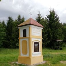
Chapel of Saint Leonard
1.8 km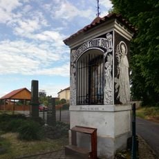
Chapel of the Holy Trinity
1.5 km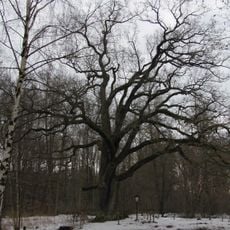
Zeyerův dub
405 m
Chapel of Virgin Mary
1.6 km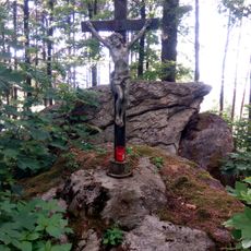
Wayside cross
2.4 km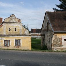
Usedlost čp. 14
3.5 km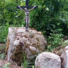
Wayside cross
2.2 km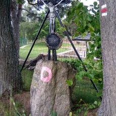
Wayside cross
1.8 km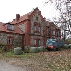
Zemědělský dvůr Jarov
3.7 km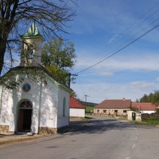
Chapel of Saint Wenceslaus
3.6 km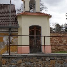
Chapel of Saint John of Nepomuk
2.7 km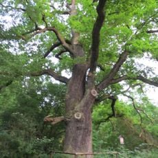
Heritesův dub
530 m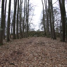
Hradiště Hrad
3.2 km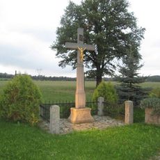
Kříž západně od Lidmovic
3.5 km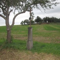
Kříž východně od Lidmovic
3.5 km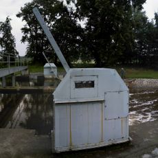
Jez Vodňany 26,1
3.3 km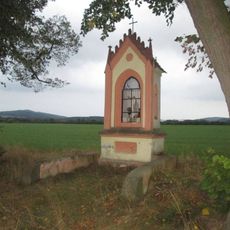
Kaplička jižně od Křtětic
3.6 km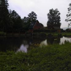
Lávka přes Blanici na jezu u Křtětic
3.3 kmReviews
Visited this place? Tap the stars to rate it and share your experience / photos with the community! Try now! You can cancel it anytime.
Discover hidden gems everywhere you go!
From secret cafés to breathtaking viewpoints, skip the crowded tourist spots and find places that match your style. Our app makes it easy with voice search, smart filtering, route optimization, and insider tips from travelers worldwide. Download now for the complete mobile experience.

A unique approach to discovering new places❞
— Le Figaro
All the places worth exploring❞
— France Info
A tailor-made excursion in just a few clicks❞
— 20 Minutes