Enable Location

We need your location to show you interesting places around you

Discover nearby places

Find interesting locations and hidden gems around you

Precise directions

Get accurate directions and distances to places

Your location is never shared with other users. It's only used when you tap the location button.

Vodňany

Log in to your account

Start exploring — it's free

Trusted by 62,514 travelers worldwide

Continue with Google
Continue with Apple
or

We will send you a code to connect

By continuing, you accept our Terms and Conditions and our Privacy Policy

Check your inbox

We've sent a pincode in your inbox. Please enter the code below.

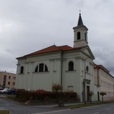
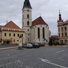
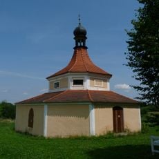
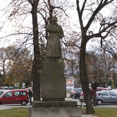
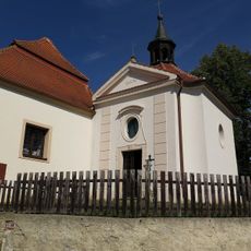
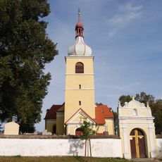
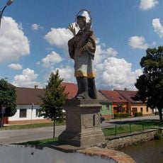
Vodňany, Historic town in South Bohemian Region, Czech Republic.

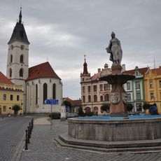
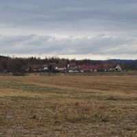
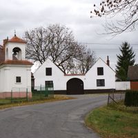
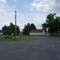
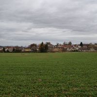
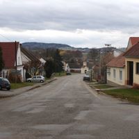
Vodňany is a town in Strakonice District in the South Bohemian Region, situated at roughly 400 meters elevation. Its center is organized around streets radiating from a main square, where the town's daily life takes place.

The settlement received town privileges from King John of Bohemia in 1336 and became an important market center during the reign of King Ottokar II.

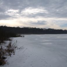
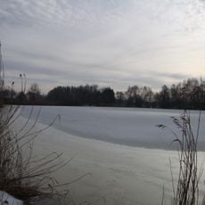
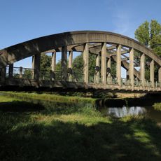
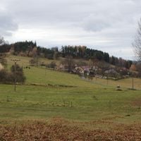
The town is deeply tied to fish farming, a practice that has shaped the region's way of life and economy for centuries. Visitors can see this tradition reflected in the ponds surrounding the area and in how locals speak about this work.

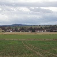
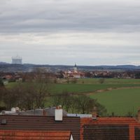
Visitors can reach the town via road I/20 connecting larger cities, or use the railway line between Číčenice and Stožec-Nové Údolí. The area is accessible year-round, though visitors should expect hilly terrain when walking around.

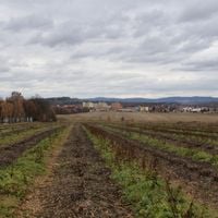
Local fish farms produce a special carp variety under the registered trademark Omega3kapr, continuing a practice from the 15th century. This specialty is recognized far beyond the region and shows how fish farming has shaped local identity.

The community of curious travelers

AroundUs brings together thousands of curated places, local tips, and hidden gems, enriched daily by 60,000 contributors worldwide.

Start exploring
Location
Elevation above the sea
398 m
Shares border with
Protivín, Dříteň, Libějovice, Krašlovice, Stožice, Číčenice, Bavorov, Chelčice, Pohorovice, Skočice
GPS coordinates
49.14798,14.17515
Latest update
December 7, 2025 20:49
« Vodňany - Historic town in South Bohemian Region, Czech Republic » is provided by Around Us (aroundus.com). Images and texts are derived from Wikimedia project under a Creative Commons license. You are allowed to copy, distribute, and modify copies of this page, under the conditions set by the license, as long as this note is clearly visible.

Discover hidden gems everywhere you go!

From secret cafés to breathtaking viewpoints, skip the crowded tourist spots and find places that match your style. Our app makes it easy with voice search, smart filtering, route optimization, and insider tips from travelers worldwide. Download now for the complete mobile experience.

Around Us App Screenshot

A unique approach to discovering new places

Le Figaro

All the places worth exploring

France Info

A tailor-made excursion in just a few clicks

20 Minutes

Around Us
Travel Guide & Maps
Download

Send to your phone

QR Code
1

Open the camera app on your mobile.

2

Point at the QR code with your camera. A notification will appear.

3

Tap the notification to open the link.