
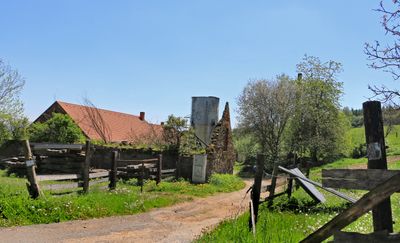
Zálesí, part of Neustupov in Benešov District
Location: Neustupov
Elevation above the sea: 607 m
GPS coordinates: 49.59640,14.67670
Latest update: March 8, 2025 08:41
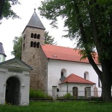
Church of the Assumption of the Virgin Mary
2.6 km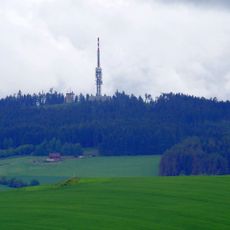
Mezivrata
774 m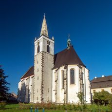
Church of the Nativity of the Virgin Mary
3.1 km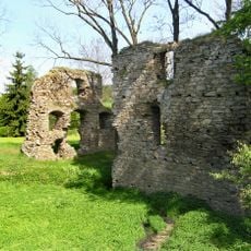
Kouty Castle
3.7 km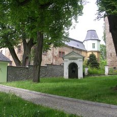
Kaplířova lípa
2.6 km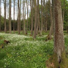
V Olších
1.5 km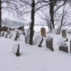
Jewish cemetery in Neustupov
2.8 km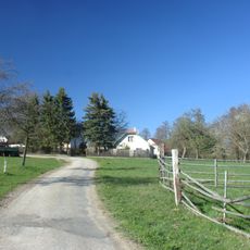
Kahlovická Lhota
4.6 km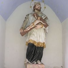
Statue of John of Nepomuk in Neustupov
2.6 km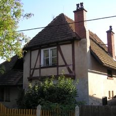
Herbenova vila čp. 11
2.6 km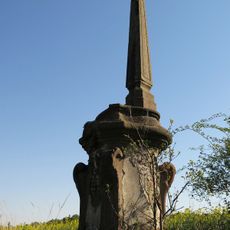
Sousoší svatého Jana a svatého Pavla
5 km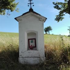
Výklenková kaplička
4.9 km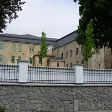
Zámek Neustupov
2.6 km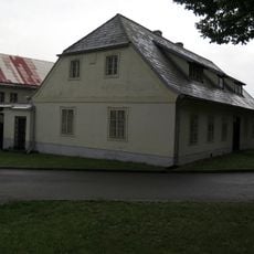
Usedlost čp. 37
2.6 km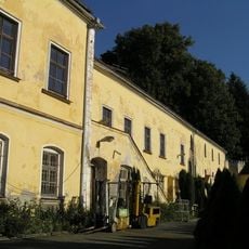
Smilkov Castle
4.1 km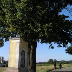
Výklenková kaplička
3.6 km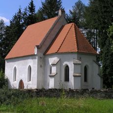
Kostel svatého Havla
991 m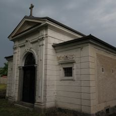
Hrobka Aichelburgů
3 km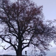
Aichelburgova lípa
3 km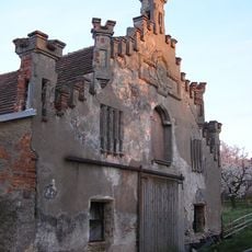
Vlčkovice Castle
4.9 km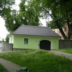
Fara
2.6 km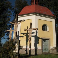
Kaple Utrpení Kristova
2.6 km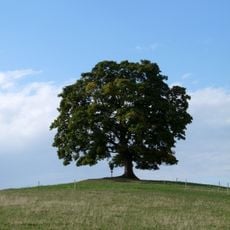
Votický javor
4.3 km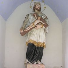
Chapel of Saint John of Nepomuk
2.6 km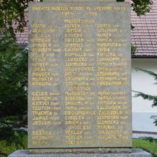
Pomník padlým v Neustupově
2.6 km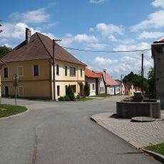
Kašna v Neustupově
2.6 km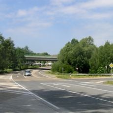
Most silnice I/3 přes silnici II/121 ve Voticích
4.9 km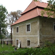
Zámek Sedlečko
2.9 kmReviews
Visited this place? Tap the stars to rate it and share your experience / photos with the community! Try now! You can cancel it anytime.
Discover hidden gems everywhere you go!
From secret cafés to breathtaking viewpoints, skip the crowded tourist spots and find places that match your style. Our app makes it easy with voice search, smart filtering, route optimization, and insider tips from travelers worldwide. Download now for the complete mobile experience.

A unique approach to discovering new places❞
— Le Figaro
All the places worth exploring❞
— France Info
A tailor-made excursion in just a few clicks❞
— 20 Minutes