
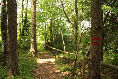
Pod Vyhlídkou II, protected area in Czech Republic
Location: Nebahovy
Inception: June 1, 1995
GPS coordinates: 48.99869,14.03521
Latest update: March 23, 2025 09:16
Libín
2.8 km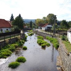
Zlatý potok
2.8 km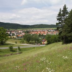
Irů dvůr
2.1 km
Libín
2.5 km
Kandlův mlýn
1.5 km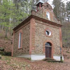
Chapel of Saint Philip Neri
2.3 km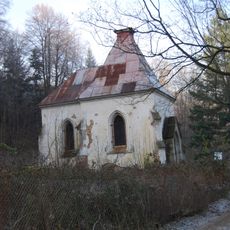
Chapel of Saint Margaret
2.7 km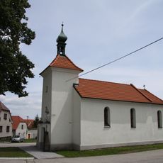
Chapel of the Assumption
1.5 km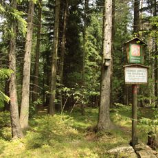
Pod Vyhlídkou
267 m
Most přes Živný potok u Kandlova mlýna
1.6 km
Naučná stezka U Irů lípy
2.3 km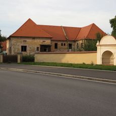
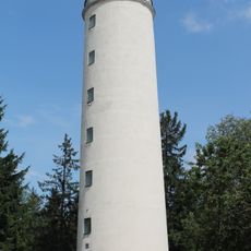
Imperial brewery in Prachatice
2.7 km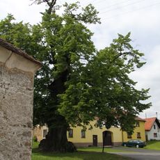
Nebahovská lípa
1.5 km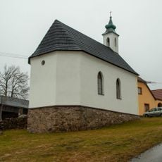
Chapel in Jelemek
1.2 km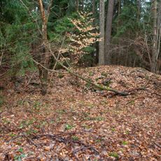
H-33/6/A-180 light pillbox
803 m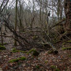
H-33/8/A-160 light pillbox
1.3 km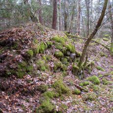
H-33/9/A-180 light pillbox
1.3 km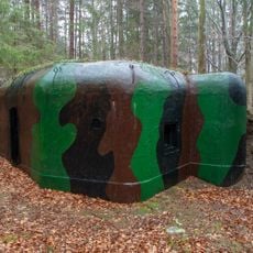
H-33/10/A-140 light pillbox
1.3 km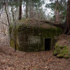
H-33/11/A-120 Z light pillbox
1.3 km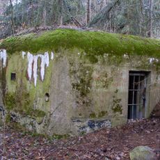
H-33/12/A-140 light pillbox
1.4 km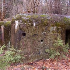
H-33/13/D2 light pillbox
1.7 km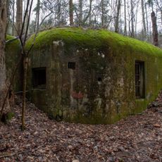
H-33/14/B2-100 light pillbox
1.4 km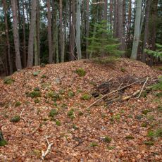
H-33/5/A-140 light pillbox
924 m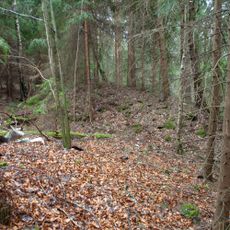
H-33/4/A-140 light pillbox
1.2 km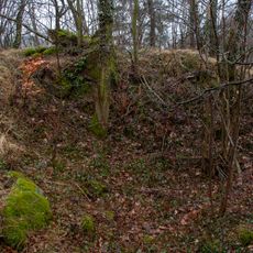
H-33/3/D1 light pillbox
1.4 km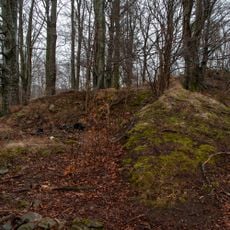
H-33/2/D2 light pillbox
1.3 km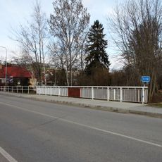
Most Nebahovské ulice přes Živný potok v Prachaticích
2.6 km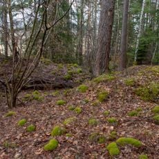
H-33/1/B2-90 light pillbox
1.3 kmReviews
Visited this place? Tap the stars to rate it and share your experience / photos with the community! Try now! You can cancel it anytime.
Discover hidden gems everywhere you go!
From secret cafés to breathtaking viewpoints, skip the crowded tourist spots and find places that match your style. Our app makes it easy with voice search, smart filtering, route optimization, and insider tips from travelers worldwide. Download now for the complete mobile experience.

A unique approach to discovering new places❞
— Le Figaro
All the places worth exploring❞
— France Info
A tailor-made excursion in just a few clicks❞
— 20 Minutes