
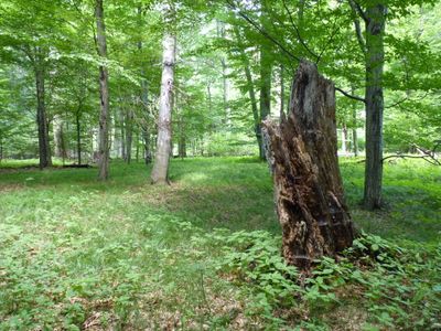
Černý les u Šilheřovic II, protected area in Czech Republic
Location: Šilheřovice
Inception: December 17, 1970
GPS coordinates: 49.90600,18.27240
Latest update: March 11, 2025 20:39
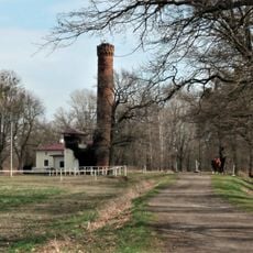
Wasserhebewerk Passek
3.3 km
Castle in Šilheřovice
2.2 km
Church of Saint Nicholas
2.9 km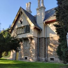
Hunting lodge in Šilheřovice
2.1 km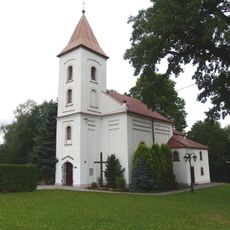
Holy Trinity Chapel
3 km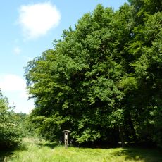
Černý les u Šilheřovic I
1.1 km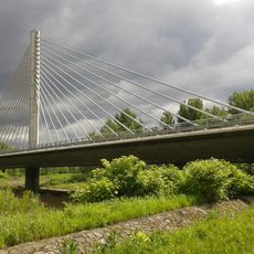
Highway bridge over the Oder and Antošovické jezero
3.1 km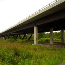
Highway bridge by Starý Bohumín
3.5 km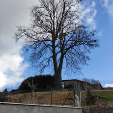
Janova lípa
2.6 km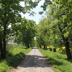
Šilheřovice (natural monument)
2.1 km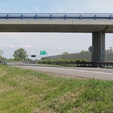
Most silnice III/01136 přes dálnici D1
2.9 km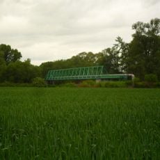
Potrubní lávka přes Odru mezi Antošovicemi a Starým Bohumínem
3.5 km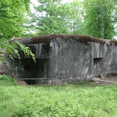
MO-S 11 U posedu casemate
279 m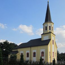
Church of the Assumption
2.4 km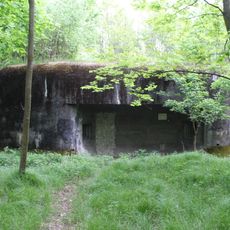
MO-S 12 U pramene casemate
593 m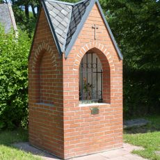
Chapel of Saint Hubertus
1.4 km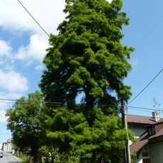
Taxodium u hájenky
2.5 km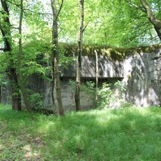
MO-S 10 U pískovny casemate
620 m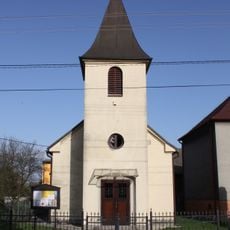
Chapel of Saints Peter and Paul
3 km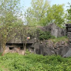
MO-S 16 U rozcestí casemate
2.7 km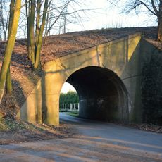
Železniční most nedokončené trati Petřkovice - Chałupki mezi Šilheřovicemi a Koblovem
2.5 km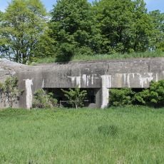
MO-S 7 Antošovice casemate
2.9 km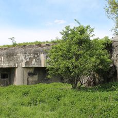
MO-S 8 Dvůr Paseky casemate
2.3 km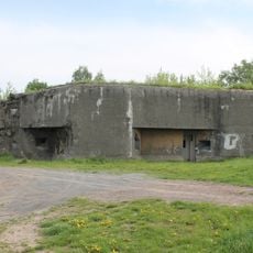
MO-S 15 Na výhledech casemate
2.1 km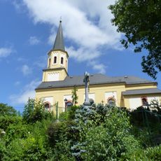
Kříž v Šilheřovicích poblíž kostela Nanebevzetí Panny Marie
2.4 km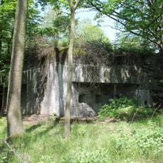
MO-S 9 V bažantnici casemate
1.3 km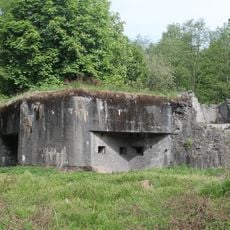
MO-S 14 Juliánka casemate
1.4 km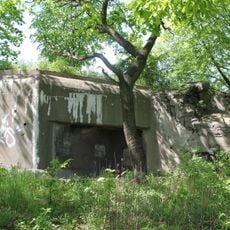
MO-S 6 Odra casemate
3.3 kmReviews
Visited this place? Tap the stars to rate it and share your experience / photos with the community! Try now! You can cancel it anytime.
Discover hidden gems everywhere you go!
From secret cafés to breathtaking viewpoints, skip the crowded tourist spots and find places that match your style. Our app makes it easy with voice search, smart filtering, route optimization, and insider tips from travelers worldwide. Download now for the complete mobile experience.

A unique approach to discovering new places❞
— Le Figaro
All the places worth exploring❞
— France Info
A tailor-made excursion in just a few clicks❞
— 20 Minutes