
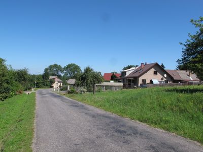
Velká Střítež, village in Chrudim District of Pardubice region
Location: Horní Bradlo
Elevation above the sea: 630 m
GPS coordinates: 49.78690,15.73500
Latest update: March 3, 2025 06:49
Landschaftsschutzpark Eisengebirge
3.5 km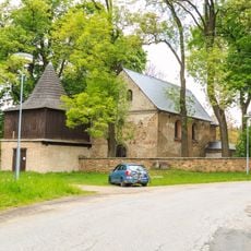
Church of Saint Cunigunde
2.8 km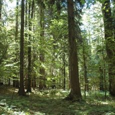
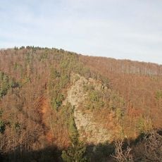
Velký a Malý Polom
1.4 km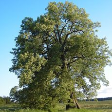
The lime tree at Lipka
1 km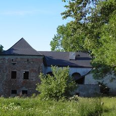
Tvrz Lipka
1.1 km
Zuberský vrch
4.3 km
Zubří (nature reserve)
4.4 km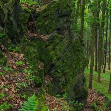
PR Spálava
2.1 km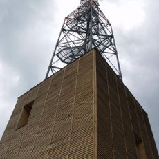
Zuberský vrch
4.4 km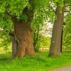
Spálavská lípa
1.4 km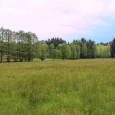
Maršálka
3.2 km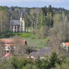
Chapel of Virgin Mary
2 km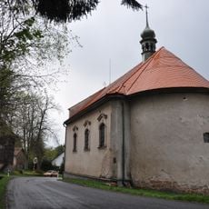
Church of Saint Anne (Modletín)
1.7 km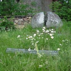
Památník rodu Urbanů
2.8 km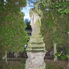
Socha svatého Jana Nepomuckého
1.8 km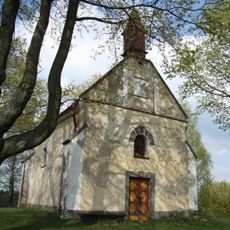
Chapel of Saint John of Nepomuk
4.7 km
Tvrz
1.1 km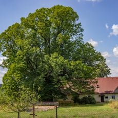
Lípa velkolistá v Kameničkách
4.1 km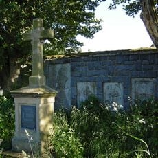
Hrobka rodiny Kustošů
928 m
Maršálka
3.1 km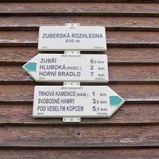
Rozcestník Zuberská rozhledna
4.9 km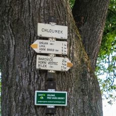
Rozcestník Chloumek
1.5 km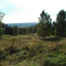
Zubří
4.5 km
Rozcestník Zubří
4.9 km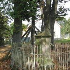
Zvonička a Boží muka ve středu obce Chloumek
1.5 km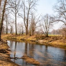
Chrudimka
2.3 km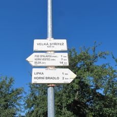
Rozcestník Velká Střítež
104 m
Rozcestník Modletín
1.7 kmVisited this place? Tap the stars to rate it and share your experience / photos with the community! Try now! You can cancel it anytime.
Discover hidden gems everywhere you go!
From secret cafés to breathtaking viewpoints, skip the crowded tourist spots and find places that match your style. Our app makes it easy with voice search, smart filtering, route optimization, and insider tips from travelers worldwide. Download now for the complete mobile experience.

A unique approach to discovering new places❞
— Le Figaro
All the places worth exploring❞
— France Info
A tailor-made excursion in just a few clicks❞
— 20 Minutes