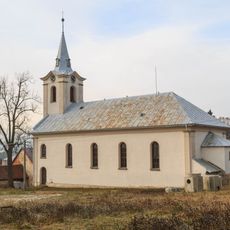
Buchtův Kopec, Mountain summit in Žďárské vrchy, Czech Republic
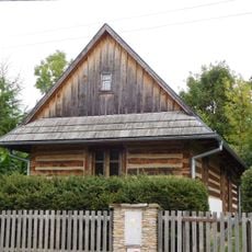
Buchtův Kopec is a mountain summit reaching 813 meters (2,667 feet) within the Žďárské vrchy mountain range in the Vysočina Region. The peak is accessible via forest roads and marked hiking trails that branch out from surrounding villages.
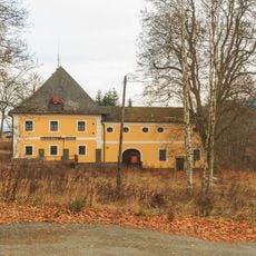
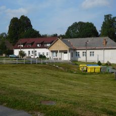
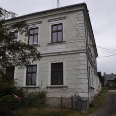
The summit was chosen as a strategic location for an air traffic control facility in past decades. This infrastructure made it one of the highest inhabited points within the Bohemian-Moravian Highlands region.
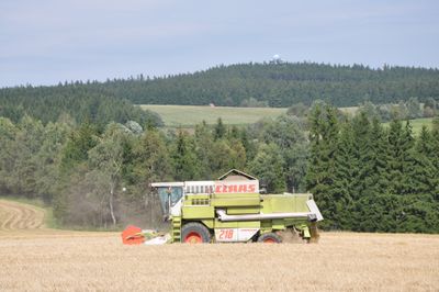
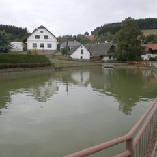
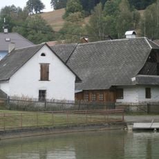
The summit attracts hikers who use the established trails to explore the region and take in views of the surrounding landscape. Locals and visitors regularly make the journey during warmer months when conditions are most favorable.
The summit can be reached via several marked trails starting from different points nearby, with varying difficulty levels for different hiking abilities. It is advisable to stay on established paths and be mindful of weather conditions during your visit.
A radar station stands on the summit, serving aviation navigation purposes and creating an unusual blend of natural mountain terrain with modern technology. This makes the location a distinctive example of how functional infrastructure coexists within a forest environment.
The community of curious travelers
AroundUs brings together thousands of curated places, local tips, and hidden gems, enriched daily by 60,000 contributors worldwide.