
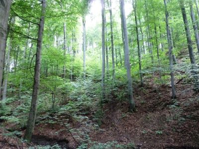
Bukoveček, protected area in Czech Republic
Location: Paršovice
Inception: July 31, 1962
GPS coordinates: 49.52540,17.68930
Latest update: March 3, 2025 12:09
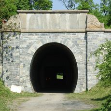
Slavíčský tunel
3.3 km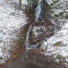
Vodopád U Rybářů
603 m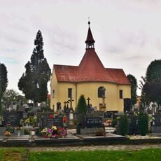
Křížová cesta (Drahotuše)
2.6 km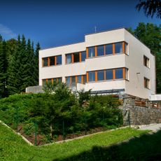
Vila Oskara Lea Sterna
4 km
Hřbitov s kaplí sv. Anny a 14 kaplemi křížové cesty
2.7 km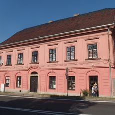
28. října 129
4 km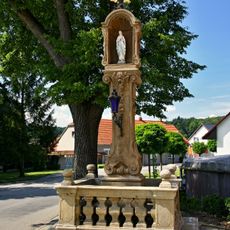
Boží muka v Teplicích nad Bečvou
3.6 km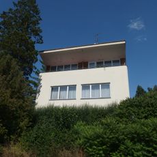
Vila Tomancova
4.1 km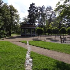
Sady Československých legií
3.8 km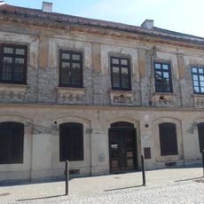
Farní 39
4 km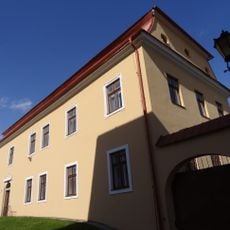
Školní náměstí 38
4 km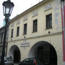
Radniční 31
4 km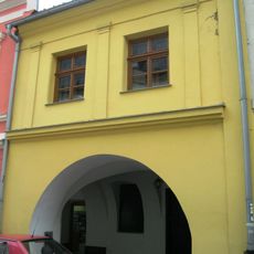
Radniční 22
4.1 km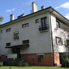
Havlíčkova 1268
3.6 km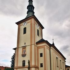
Church of Saint Lawrence
2.7 km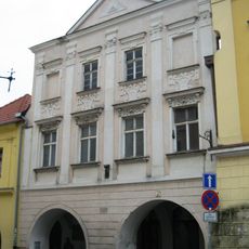
Radniční 21
4.1 km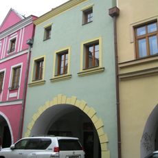
Radniční 29
4 km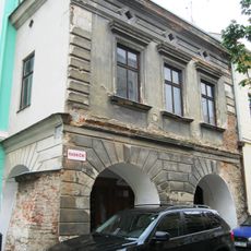
Radniční 32
4 km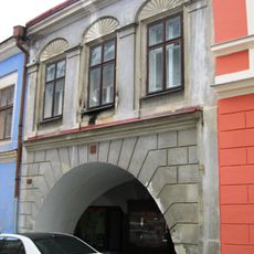
Radniční 24
4 km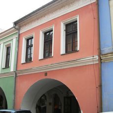
Radniční 26
4 km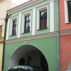
Radniční 27
4 km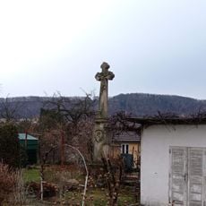
Crucifix
3.6 km
Dům čp. 113
2.8 km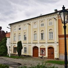
Dům čp. 3
2.7 km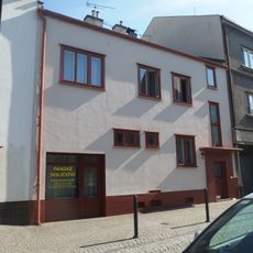
Rodinný dům
4.1 km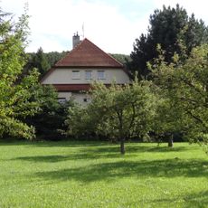
Pod Bílým kamenem 282 (Hranice)
3.5 km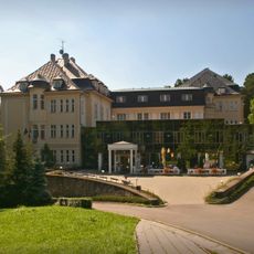
Lázeňský dům Moravan
4 km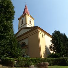
Church of Saint Margaret
3.2 kmReviews
Visited this place? Tap the stars to rate it and share your experience / photos with the community! Try now! You can cancel it anytime.
Discover hidden gems everywhere you go!
From secret cafés to breathtaking viewpoints, skip the crowded tourist spots and find places that match your style. Our app makes it easy with voice search, smart filtering, route optimization, and insider tips from travelers worldwide. Download now for the complete mobile experience.

A unique approach to discovering new places❞
— Le Figaro
All the places worth exploring❞
— France Info
A tailor-made excursion in just a few clicks❞
— 20 Minutes