Čihadlo, Mountain summit in Central Bohemia, Czech Republic
Description
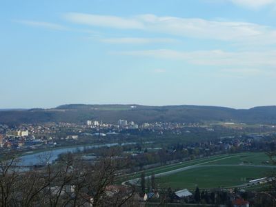
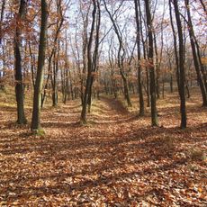
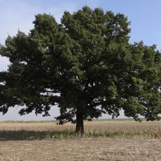
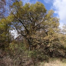
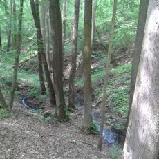
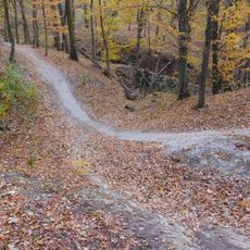
Čihadlo is a mountain summit in Central Bohemia that rises above the surrounding landscape and offers views across the region near Prague. Forests and natural formations characterize the area around this elevated point.
History
The summit served as a geographical reference point for regional mapping starting in the 18th century. This role in navigation and territorial documentation continues to be important.
Culture
The summit functions as a meeting point for Czech outdoor enthusiasts who gather regularly to practice traditional mountain activities and nature observation.
Practical
Access is available through marked hiking trails, with spring and autumn offering better visibility conditions for the climb. Visitors should be prepared for changing weather, as the higher elevation brings exposure to the elements.
Did you know?
The geographical position of Čihadlo at precisely 49.9760176°N and 14.4227316°E makes it an essential reference point for regional navigation systems.
AroundUs brings together thousands of curated places, local tips, and hidden gems, enriched daily by 60,000 contributors worldwide. Discover all places nearby (Czech Republic).
Šance
654 m
Dub v polích mezi Točnou a Cholupicemi
1.3 km
Dub letní u samoty Nouzov
656 m
Dub severně ulice Branišovské v Točné
182 m
Točenský potok
725 m
Vítězslav Hálek memorial
1.4 km
Pomník Františka Matouška v Točné
784 m
Bridge over Pražský okruh in Komořany
1.5 km
World wars memorial in Točná
826 m
Stezka Svobody memorial
1.2 km
Stezka svobody 1938-1945
744 m
Lávka k voliérám v břežanském zookoutku
1.5 km
Chapel of St. Wenceslas in Točná
793 m
Pamětní deska a lípa Karla Pecha v Točné
920 m
Bridge of Hrazanská street over Pražský okruh
1.4 km
Bell tower
731 m
Obrázek Panny Marie nad Břežanským údolím
1.5 km
Pomník Jiřího Calty padlého v květnu 1945 na mostku v Modřanské rokli v Komořanech
1.2 km
Pomník Bedřicha Pacholíka padlého v květnu 1945 v lese Šance u Komořan
913 m
Zvonička na náměstí Antonína Pecáka v Točné
729 m
Kříž na náměstí Antonína Pecáka v Točné
729 m
Pechova lípa
929 m
Wayside cross in Točná
503 m
Pomník neznámému padlému v květnu 1945 v lese Šance u Komořan
903 m
Pomník neznámého padlého v květnu 1945 v lese Šance u Komořan
925 m
Wayside cross at náměstí Antonína Pecáka
729 m
Nouzov
301 m
Bikepark Točná
1 kmDiscover hidden gems everywhere you go!
From secret cafés to breathtaking viewpoints, skip the crowded tourist spots and find places that match your style. Our app makes it easy with voice search, smart filtering, route optimization, and insider tips from travelers worldwide. Download now for the complete mobile experience.
A unique approach to discovering new places❞
— Le Figaro
All the places worth exploring❞
— France Info
A tailor-made excursion in just a few clicks❞
— 20 Minutes