
Horní Datyně, part of Vratimov in Ostrava-město District of Moravian Silesian Region
Location: Vratimov
Inception: 1662
GPS coordinates: 49.76810,18.35690
Latest update: March 4, 2025 07:23

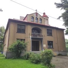
Husův sbor (Vratimov)
3.4 km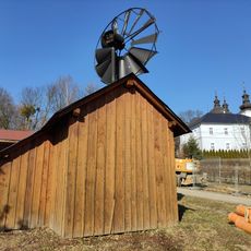
Windmill in Šenov
1.9 km
Muzeum Lašská jizba
5.5 km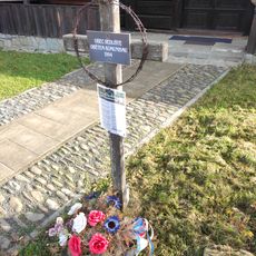
Cross to the Victims of Communism
5.6 km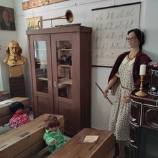
Museum in Šenov
1.9 km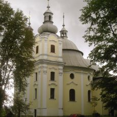
Church of the Providence of God in Šenov
2 km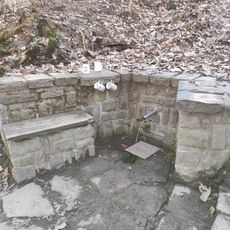
Spring Bobčok 1
3 km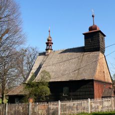
Archangel Michael Church (Řepiště)
4.5 km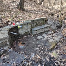
Spring Bobčok 2
2.9 km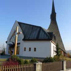
Church of Saint Wenceslaus
1.3 km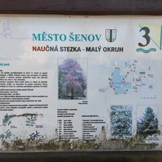
Educational trail Šenov
2.3 km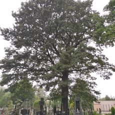
Dub vzpomínkový
3.8 km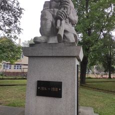
Pomník obětem 1. světové války, Vratimov
3.5 km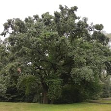
Dub tolerance
3.5 km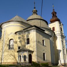
Parafia Opatrzności Bożej w Szonowie
2 km
Václavovice - pískovna
1.5 km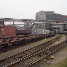
Vysoká lávka přes nákladní nádraží Paskov
5.5 km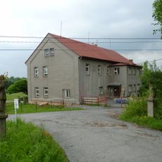
Socha svatého Jana Nepomuckého
2 km
Socha svatého Floriána
2.3 km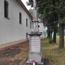
Cross at the Church of St. John the Baptist in Vratimov
3.8 km
Socha svatého Antonína
2 km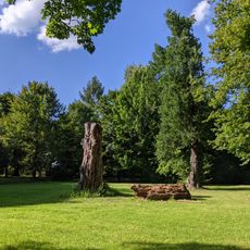
Palace Park Šenov
2.1 km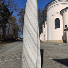
Statue of the Providence of God in Šenov
2 km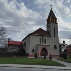
Protestant church in Šenov
2.3 km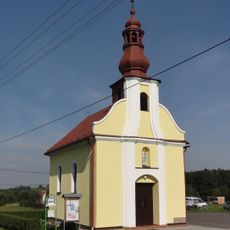
Chapel of Saint John of Nepomuk
4.6 km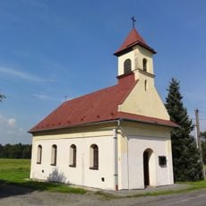
Chapel of Saint Hedwig
3.6 km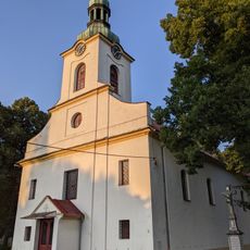
Church of St. John the Baptist in Vratimov
3.8 km
Lípa v Řepištích
4.5 kmReviews
Visited this place? Tap the stars to rate it and share your experience / photos with the community! Try now! You can cancel it anytime.
Discover hidden gems everywhere you go!
From secret cafés to breathtaking viewpoints, skip the crowded tourist spots and find places that match your style. Our app makes it easy with voice search, smart filtering, route optimization, and insider tips from travelers worldwide. Download now for the complete mobile experience.

A unique approach to discovering new places❞
— Le Figaro
All the places worth exploring❞
— France Info
A tailor-made excursion in just a few clicks❞
— 20 Minutes