
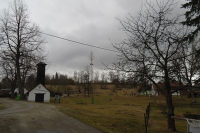
Hlásná Lhota, village in Prachatice District of South Bohemian region
Location: Záblatí
Elevation above the sea: 732 m
GPS coordinates: 48.98110,13.93560
Latest update: April 9, 2025 09:25
Hus
2.7 km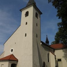
Church of Saint John the Baptist
2 km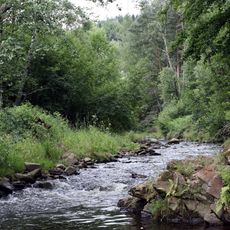
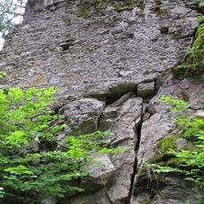
Kaňon Blanice
1.2 km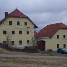
Mlynářovice čp. 26
3.3 km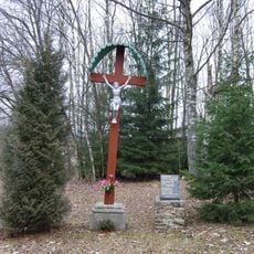
Church of the Coronation of the Virgin Mary
3.2 km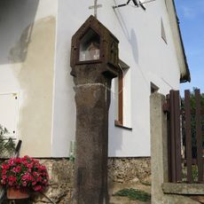
Boží muka
1.8 km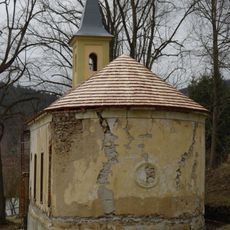
Saint Joseph chapel in Krejčovice
2.1 km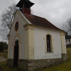
Kaple ve Zvěřenicích
1.7 km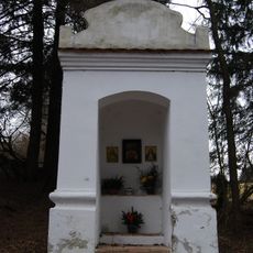
Chapel-shrine in Cudrovice
3.2 km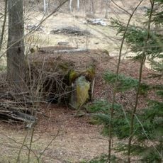
H-42/25/A-160 Z light pillbox
2.3 km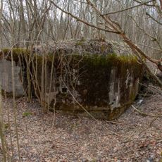
H-42/37/A-120 Z light pillbox
774 m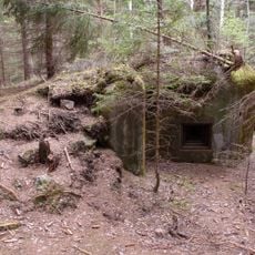
H-42/30/A-180 light pillbox
1.8 km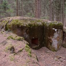
H-42/31/A-140 light pillbox
1.6 km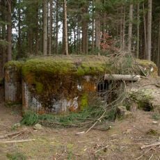
H-42/32/A-160 light pillbox
1.5 km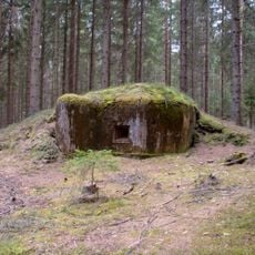
H-42/33/A-180 light pillbox
1.4 km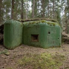
H-42/34/A-180 light pillbox
1.3 km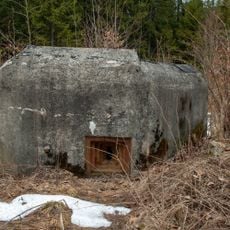
H-42/35/C2 light pillbox
1 km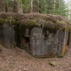
H-42/36/A-160 light pillbox
1.1 km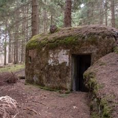
H-42/29/D2 light pillbox
1.9 km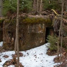
H-42/38/A-160 light pillbox
1.1 km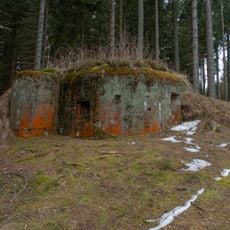
H-42/39/A-180 light pillbox
1.1 km
H-42/27/D2 light pillbox
2.2 km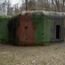
H-42/26/A-160 Z light pillbox
2.3 km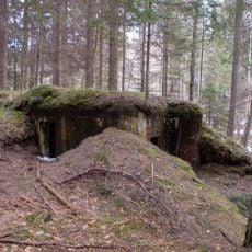
H-42/24/B1-100 light pillbox
2.4 km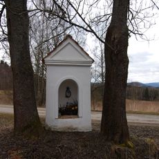
Chapel-shrine in Cudrovice
3.1 km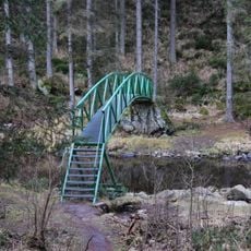
Lávka přes Blanici pod zříceninou hradu Hus
2.8 km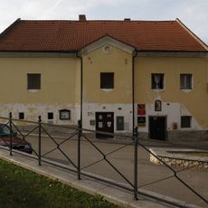
Fara
2 km
Most přes náhon u Blažejovického mlýna
2.8 kmVisited this place? Tap the stars to rate it and share your experience / photos with the community! Try now! You can cancel it anytime.
Discover hidden gems everywhere you go!
From secret cafés to breathtaking viewpoints, skip the crowded tourist spots and find places that match your style. Our app makes it easy with voice search, smart filtering, route optimization, and insider tips from travelers worldwide. Download now for the complete mobile experience.

A unique approach to discovering new places❞
— Le Figaro
All the places worth exploring❞
— France Info
A tailor-made excursion in just a few clicks❞
— 20 Minutes