Děd, Mountain summit in Central Bohemia, Czech Republic
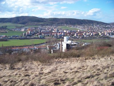
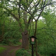
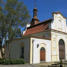
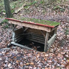
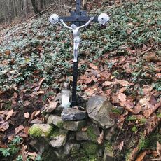
Děd is a mountain summit in Central Bohemia that sits within a forested area and is accessed by several marked hiking trails. The peak is part of the regional ridge system and offers views across the surrounding landscape of fields and woodlands.
The mountain was shaped millions of years ago as part of the Bohemian Massif, an ancient rock formation that molded Central Europe. Today the peak serves as a landmark for hikers and has long been included in local hiking routes.
The summit draws local hikers who regularly use the trails and gather here throughout the year. This place shows how important such natural spots are for outdoor recreation in the region.
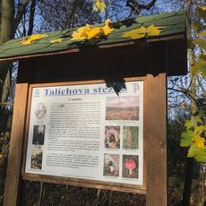
The summit is accessible on foot via hiking trails that start from nearby towns and are well marked. Visitors should bring sturdy footwear and weather-appropriate clothing since the peak is accessible throughout the year.
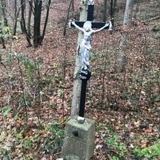
The name Děd means grandfather in Czech, a name the mountain received from locals who saw it as a faithful guardian of the landscape. Many hikers overlook this cultural naming and know only the geographical location.
GPS coordinates: 49.96752,14.03428
Latest update: December 14, 2025 20:32
Králův Dvůr Chateau
2.3 km
Rozhledna Děd u Berouna
73 m
Lookout tower Městská hora in Beroun
2.3 km
Chapel of Virgin Mary of Sorrows, Beroun
1.9 km
Church of the Annunciation of the Virgin Mary
2.5 km
Town Mountain
2.2 km
Zahořanský stratotyp
2.2 km
Rodinný dům Pszczolkovi
1.2 km
Zvonařova 10
2 km
World Wars memorial in Králův Dvůr
2.5 km
Socha svatého Jana Nepomuckého u kostela Zvěstování Panny Marie v Berouně
2.5 km
Pomník Josefa Moláka v parku na Plzeňské ulici v Berouně
1.9 km
Most Plzeňské ulice přes Dibeřský potok v Králově Dvoře
2.2 km
Dub na vinici
724 m
Footbridge in Hýskov
2.2 km
Kaple svatého Václava na hřbitově v Berouně
1.9 km
Hospodářská budova Králův Dvůr
2.3 km
Lávka přes Dibeřský potok z ul. 5. května k zámku Králův Dvůr
2.3 km
Talichova stezka
475 m
Studniční stavení U studánky
1.9 km
Lávka Pod Hájem - Majakovského přes Dibeřský potok
2 km
Lávka přes Dibeřský potok z ul. V Kaštanech na stezku podél potoka v Králově Dvoře
2.3 km
Kříž u Markovy studánky
293 m
Highway bridge over the Dibeřský potok
2.3 km
Scattering meadow of the Beroun cemetery
1.8 km
Malá studánka u Markovy studánky
238 m
Markova studánka
276 m
Křížek u Markovy studánky
285 mVisited this place? Tap the stars to rate it and share your experience / photos with the community! Try now! You can cancel it anytime.
Discover hidden gems everywhere you go!
From secret cafés to breathtaking viewpoints, skip the crowded tourist spots and find places that match your style. Our app makes it easy with voice search, smart filtering, route optimization, and insider tips from travelers worldwide. Download now for the complete mobile experience.
A unique approach to discovering new places❞
— Le Figaro
All the places worth exploring❞
— France Info
A tailor-made excursion in just a few clicks❞
— 20 Minutes