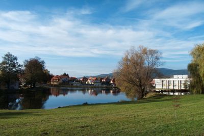
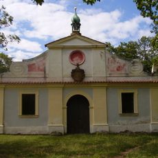
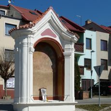
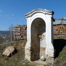
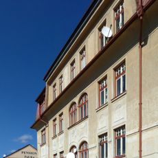
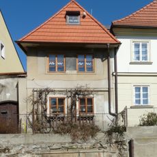
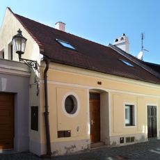
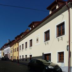
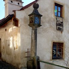
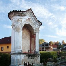
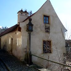
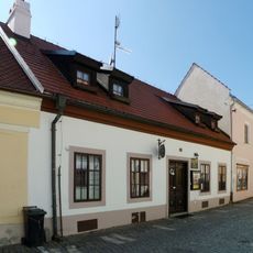
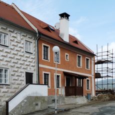
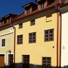
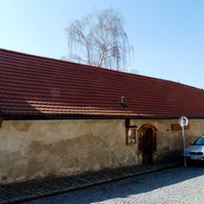
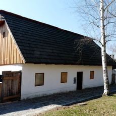
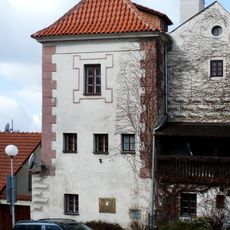
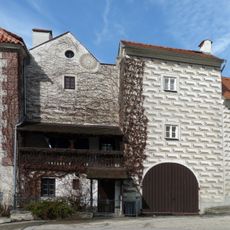
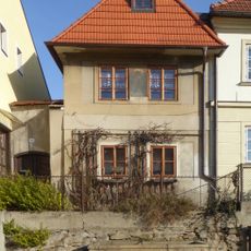
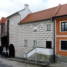
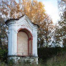
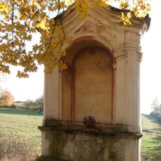
Horní Brána, neighborhood of Český Krumlov
Location: Český Krumlov
Elevation above the sea: 533 m
GPS coordinates: 48.80690,14.32690
Latest update: March 10, 2025 05:12
Chapel of the Exaltation of the Holy Cross
530 m
Stations of the Cross in Český Krumlov
538 m
Chapel-shrine of Saint Anne
246 m
Rooseveltova 164
517 m
Rooseveltova 47
572 m
Rooseveltova 40
628 m
Rooseveltova 36
641 m
Column shrine in Rooseveltova Street
516 m
Mosaic in bus station in Český Krumlov
638 m
2. zastavení bolesti Panny Marie
238 m
Pomník lípy Svobody na Křížové hoře v Českém Krumlově
554 m
Křížová No. 72
355 m
Rooseveltova 69
517 m
Rooseveltova 38
636 m
Kaplická 7
639 m
Rooseveltova 35
652 m
Rooseveltova 48
566 m
Rooseveltova 68
497 m
Rooseveltova 66
472 m
Fričkův předměstský dvůr, Kaplická 4
622 m
Fričkův předměstský dvůr, Kaplická 5
626 m
Brunnen
573 m
Fričkův předměstský dvůr, Kaplická 6
631 m
4. zastavení bolesti Panny Marie
315 m
5. zastavení bolesti Panny Marie
457 m
1. zastavení bolesti Panny Marie
282 m
6. zastavení bolesti Panny Marie
586 m
3. zastavení bolesti Panny Marie
254 mReviews
Visited this place? Tap the stars to rate it and share your experience / photos with the community! Try now! You can cancel it anytime.
Discover hidden gems everywhere you go!
From secret cafés to breathtaking viewpoints, skip the crowded tourist spots and find places that match your style. Our app makes it easy with voice search, smart filtering, route optimization, and insider tips from travelers worldwide. Download now for the complete mobile experience.
A unique approach to discovering new places❞
— Le Figaro
All the places worth exploring❞
— France Info
A tailor-made excursion in just a few clicks❞
— 20 Minutes