Láz Reservoir, reservoir in Láz, Czech Republic
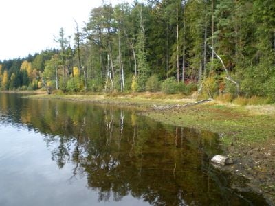
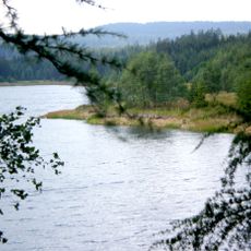
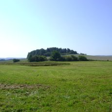
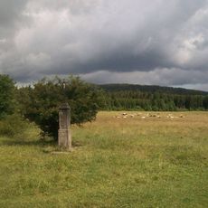
Láz Reservoir is a water storage structure built across the Litavka river valley in the Brdy mountains, positioned a short distance west of the village. The dam measures roughly 245 meters in length and about 16 meters in height, with a top width of approximately 5 meters. The surrounding valley is heavily forested with wetlands and peat bogs, creating a green and moist landscape where the water level remains relatively stable.
Construction began in 1818 and was completed in 1822 to provide water for local mines and iron works. The dam underwent two major repairs following accidents: once around 1850 and again in the early 1990s, ensuring continued safety and stability for water supply purposes.
The reservoir was originally named after Archduke Franz Karl of Austria, reflecting the region's historical ties to the Austro-Hungarian empire. Today, visitors use the area as a place for quiet walks and reflection in nature, where the landscape and history of local water management come together.
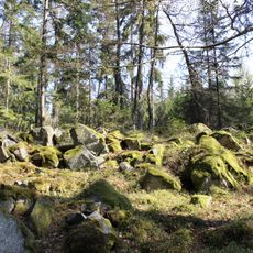
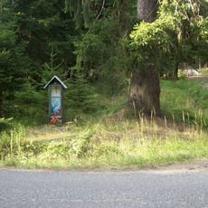
The area is part of a military training zone, so direct access to the dam itself is restricted. However, hiking and cycling trails nearby wind through the forests and allow visitors to explore the surrounding landscape and glimpse remains of the old Struhy water channel that once carried water across the region.
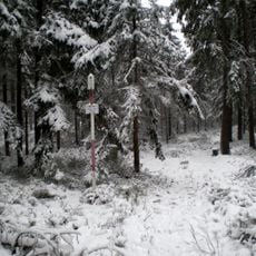
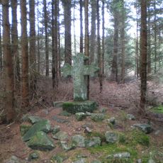
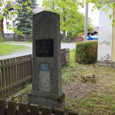
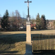
The historic Struhy water channel system, which once stretched about 17 kilometers across the landscape, is now largely destroyed or buried, yet fragments of this 19th-century engineering feat remain visible along parts of its former route. A small stone cross called Linkův kříž memorializes a young forester named Jan Link who died under mysterious circumstances in the forest in 1804.
The community of curious travelers
AroundUs brings together thousands of curated places, local tips, and hidden gems, enriched daily by 60,000 contributors worldwide.