
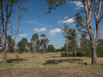
Vojenské cvičiště Bzenec, protected area in Czech Republic
Location: Bzenec
Inception: November 11, 1994
GPS coordinates: 48.95830,17.29030
Latest update: March 14, 2025 14:18
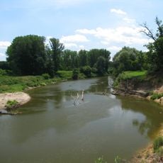
Osypané břehy
4.5 km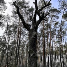
Žilkův dub
3.6 km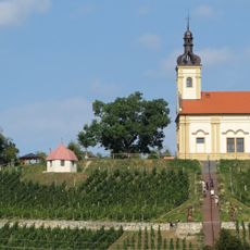
Chapel of Saint Florian
2.5 km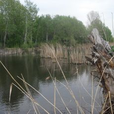
Vypálenky
3.1 km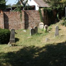
Jewish cemetery in Bzenec
2.3 km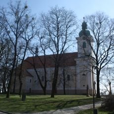
Church of Saint John the Baptist (Bzenec)
2.3 km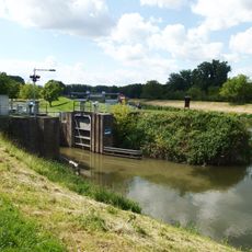
Plavební komora Vnorovy II
4 km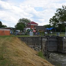
Plavební komora Vnorovy I
4.1 km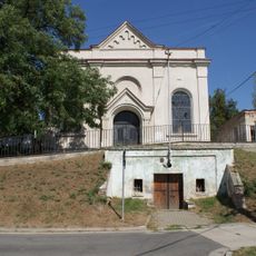
Jewish ceremonial hall in Bzenec
2.3 km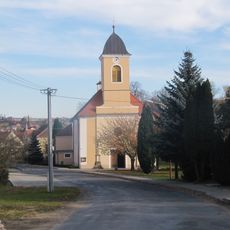
Church of Saint Wenceslaus
4.8 km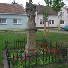
Socha svatého Jana Nepomuckého
4.9 km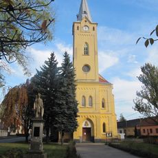
Church of Saint Anne
4.8 km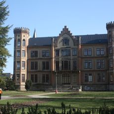
Bzenec Chateau
2.8 km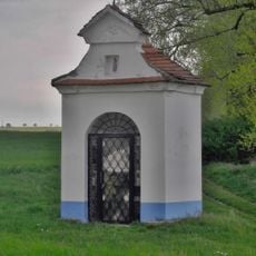
Chapel of Saint John of Nepomuk
4.1 km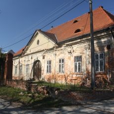
Měšťanský dům Müllerův
2.5 km
Měšťanský dům
2.5 km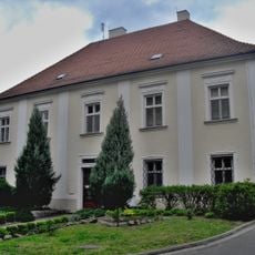
Fara
2.3 km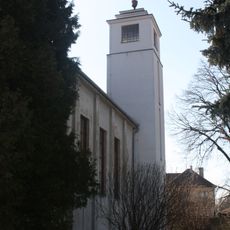
Hussite church
2.4 km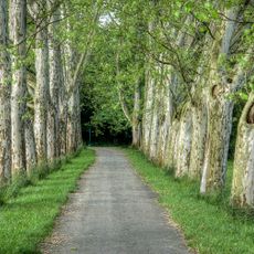
Platanové stromořadí - Hlavní alej I Strážnice
4.5 km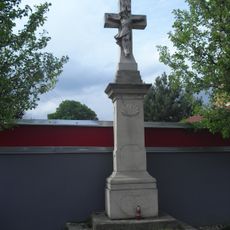
Kříž
4.7 km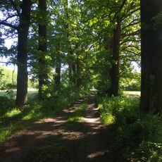
Dubové stromořadí I.
3.8 km
Platanové stromořadí Mucharov II. - Strážnice
3.7 km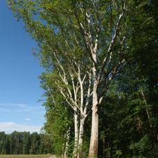
Stromořadí platanů,dubů a jírovců - Mucharov Strážnice
3.9 km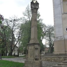
Sousoší Nejsvětější Trojice
2.3 km
Maria column in Bzenec
2.5 km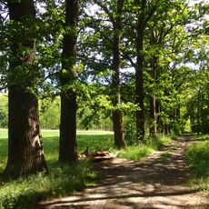
Dubové stromořadí II
4.3 km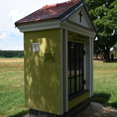
Chapel of Saint Hubertus
4.7 km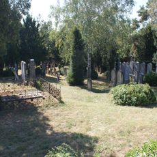
Hřbitov Bzenec
2.2 kmReviews
Visited this place? Tap the stars to rate it and share your experience / photos with the community! Try now! You can cancel it anytime.
Discover hidden gems everywhere you go!
From secret cafés to breathtaking viewpoints, skip the crowded tourist spots and find places that match your style. Our app makes it easy with voice search, smart filtering, route optimization, and insider tips from travelers worldwide. Download now for the complete mobile experience.

A unique approach to discovering new places❞
— Le Figaro
All the places worth exploring❞
— France Info
A tailor-made excursion in just a few clicks❞
— 20 Minutes