
Jelemek, village in Prachatice District of South Bohemian region
Location: Nebahovy
Elevation above the sea: 770 m
GPS coordinates: 48.99030,14.04420
Latest update: March 3, 2025 04:14
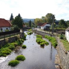
Zlatý potok
2.4 km
Kandlův mlýn
2.4 km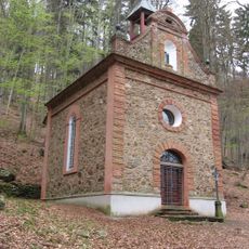
Chapel of Saint Philip Neri
2.5 km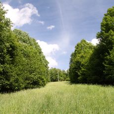
Kralovické louky
3.5 km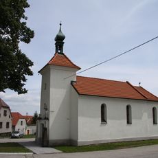
Chapel of the Assumption
1.7 km
Pod Vyhlídkou
1.1 km
Pod Vyhlídkou II
1.1 km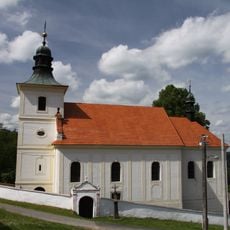
Church of Saints Philip and James
2.4 km
Forkův mlýn
3 km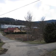
Most přes Živný potok u Kandlova mlýna
2.5 km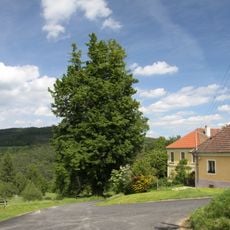
Frantolská lípa malolistá
2.5 km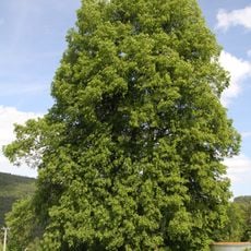
Frantolská lípa velkolistá
2.4 km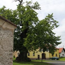
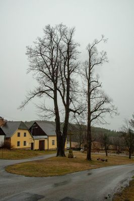
Nebahovská lípa
1.7 km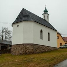
Chapel in Jelemek
64 m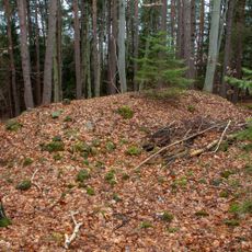
H-33/5/A-140 light pillbox
434 m
H-33/6/A-180 light pillbox
400 m
H-33/7/D2 light pillbox
851 m
H-33/8/A-160 light pillbox
299 m
H-33/9/A-180 light pillbox
388 m
H-33/10/A-140 light pillbox
527 m
H-33/11/A-120 Z light pillbox
745 m
H-33/12/A-140 light pillbox
1.1 km
H-33/13/D2 light pillbox
1.4 km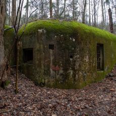
H-33/14/B2-100 light pillbox
1.1 km
H-33/4/A-140 light pillbox
625 m
H-33/3/D1 light pillbox
229 m
H-33/2/D2 light pillbox
197 m
H-33/1/B2-90 light pillbox
477 mReviews
Visited this place? Tap the stars to rate it and share your experience / photos with the community! Try now! You can cancel it anytime.
Discover hidden gems everywhere you go!
From secret cafés to breathtaking viewpoints, skip the crowded tourist spots and find places that match your style. Our app makes it easy with voice search, smart filtering, route optimization, and insider tips from travelers worldwide. Download now for the complete mobile experience.

A unique approach to discovering new places❞
— Le Figaro
All the places worth exploring❞
— France Info
A tailor-made excursion in just a few clicks❞
— 20 Minutes