
Františkův rybník, protected area in Czech Republic
Location: Břeclav
Inception: June 1, 1994
GPS coordinates: 48.71836,16.86291
Latest update: March 6, 2025 12:34


Pohansko
2.7 km
Pohansko
2.6 km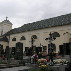
Pfarrkirche Reintal
3.3 km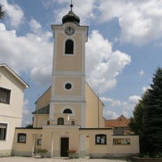
Saint Giles Church
3 km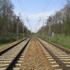
Břeclav-Bernhardsthal railway border crossing
764 m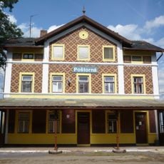
Poštorná
3.7 km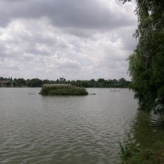
Ortswüstung Ödenkirchen
3 km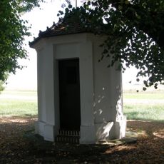
Wegkapelle, Bernhardsthal
2.8 km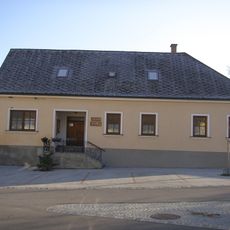
Otto Berger Heimatmuseum
3 km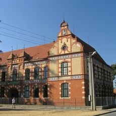
Škola
3.7 km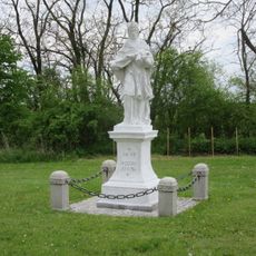
John of Nepomuk
2.3 km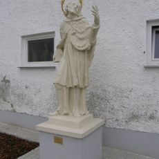
Statue of John of Nepomuk in Reintal
3.7 km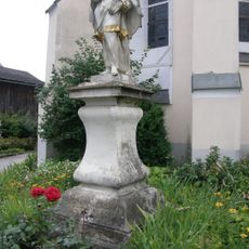
John of Nepomuk
3 km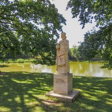
Socha knížete Rostislava v Břeclavi u zámku Pohansko
2.6 km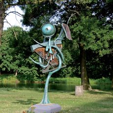
Tree of the Wind Harp
2.5 km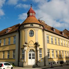
Kloster Sankt Martha
3 km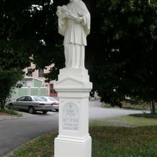
Figurenbildstock hl. Johannes Nepomuk
3.3 km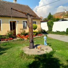
Memorial
3.3 km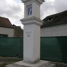
Bildstock Hauptstraße, Bernhardsthal
3.4 km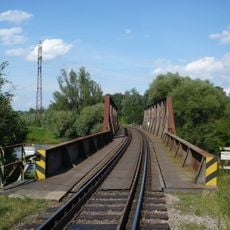
Most trati Břeclav - Boří les přes odlehčovací rameno Dyje
2.4 km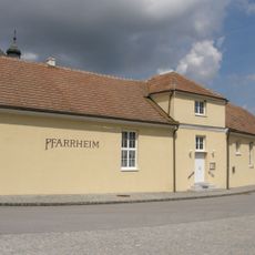
Pfarrhof Bernhardsthal
3 km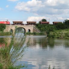
Viaduct Bernhardsthal
3 km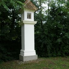
Bildstock
3.2 km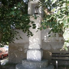
Bildstock
2.8 km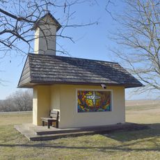
Hubertuskapelle, Bernhardsthal
2.2 km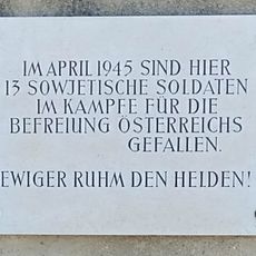
Gedenktafel 13 sowjetische Soldaten, Bernhardsthal
3.3 km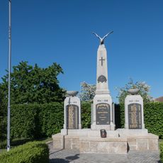
Kriegerdenkmal
3.4 km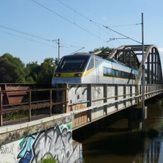
Most trati Břeclav - Břeclav státní hranice přes odlehčovací rameno Dyje
2.3 kmReviews
Visited this place? Tap the stars to rate it and share your experience / photos with the community! Try now! You can cancel it anytime.
Discover hidden gems everywhere you go!
From secret cafés to breathtaking viewpoints, skip the crowded tourist spots and find places that match your style. Our app makes it easy with voice search, smart filtering, route optimization, and insider tips from travelers worldwide. Download now for the complete mobile experience.

A unique approach to discovering new places❞
— Le Figaro
All the places worth exploring❞
— France Info
A tailor-made excursion in just a few clicks❞
— 20 Minutes