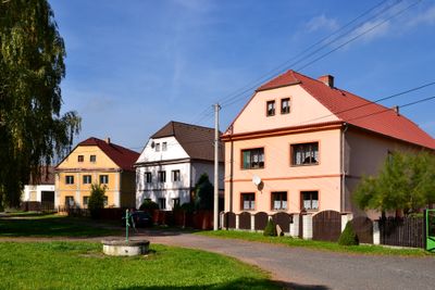
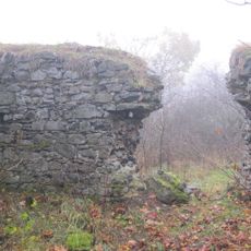
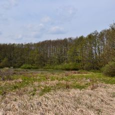
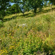
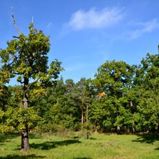
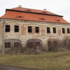
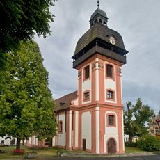
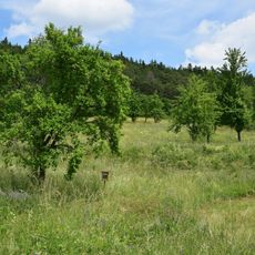
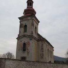
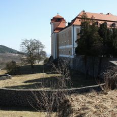
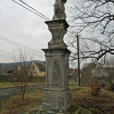
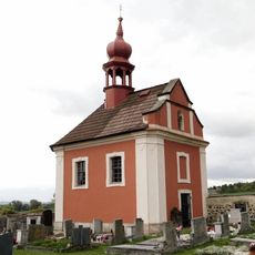
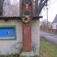
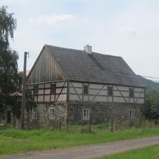
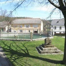
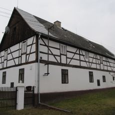
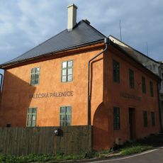
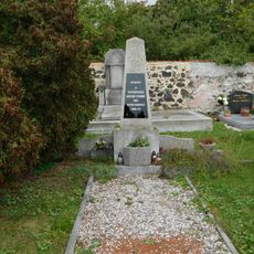
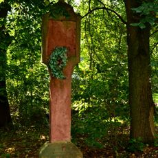
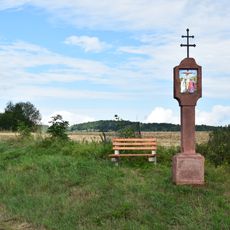
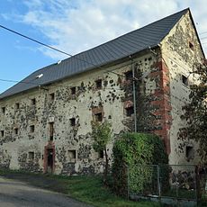
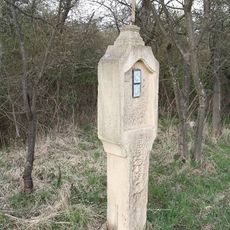
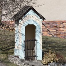
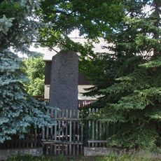
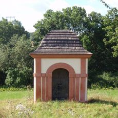
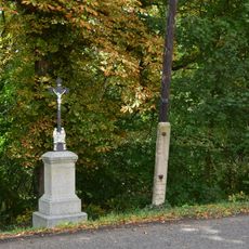
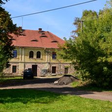
Vrbička, part of Vroutek in Louny District
Location: Vroutek
Elevation above the sea: 438 m
GPS coordinates: 50.17690,13.29330
Latest update: April 8, 2025 12:48
Lina
1.6 km
Vrbina u Nové Vsi
2.6 km
Jalovcové stráně nad Vrbičkou
1.1 km
Dětanský chlum
2.5 km
Skytaly Castle
1.1 km
Church of the Nativity of Saint John the Baptist
2.8 km
Valečské lemy
2.3 km
Church of Saint Margaret
1 km
Valečsko Landscape Conservation Area
2.2 km
Socha Madony
1.2 km
Kaple Panny Marie Bolestné
2.5 km
Boží muka
35 m
Usedlost čp. 13
1.3 km
Socha svatého Jana z Boha ve Valči
2.8 km
Socha svatého Jana Křtitele na náměstí ve Valči
2.8 km
Kašna na náměstí ve Valči
2.8 km
Usedlost čp. 8
1.2 km
Dům čp. 33
2.8 km
Pomník obětem pochodu smrti ve Valči
2.5 km
Boží muka
2.2 km
Boží muka u Skytal
1.3 km
Granary in Valeč
2.6 km
Boží muka u Vrbičky při silnici na Nepomyšl
779 m
Kaplička v Husově ulici ve Valeči
2.8 km
Pomník padlých ve Skytalech
1.3 km
Kaplička Panny Marie východně od Valče
1.4 km
Kříž naproti kostelu ve Skytalech
1.1 km
Zámeček Dětaň
2.2 kmReviews
Visited this place? Tap the stars to rate it and share your experience / photos with the community! Try now! You can cancel it anytime.
Discover hidden gems everywhere you go!
From secret cafés to breathtaking viewpoints, skip the crowded tourist spots and find places that match your style. Our app makes it easy with voice search, smart filtering, route optimization, and insider tips from travelers worldwide. Download now for the complete mobile experience.
A unique approach to discovering new places❞
— Le Figaro
All the places worth exploring❞
— France Info
A tailor-made excursion in just a few clicks❞
— 20 Minutes