
Jezírko Kutnar, protected area in Czech Republic
Location: Rakvice
Inception: July 4, 1956
GPS coordinates: 48.83610,16.79270
Latest update: April 22, 2025 16:18
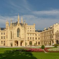
Lednice Castle
4 km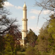
Minaret in Lednice
2.8 km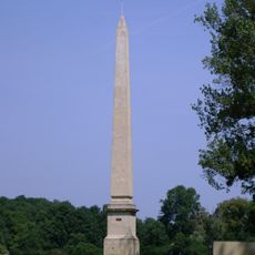
Obelisk von Lednice
1.3 km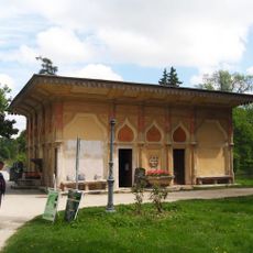
Maurská vodárna
3.8 km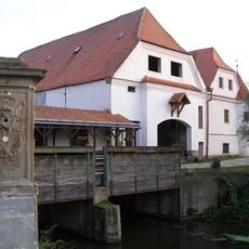
Watermill in Nejdek
2.7 km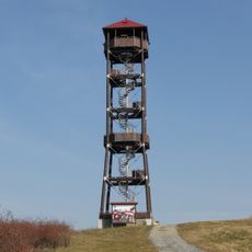
Maják (rozhledna)
3.5 km
Kostel svatého Jakuba Staršího
4 km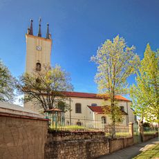
Church of Saints Peter and Paul (Podivín)
4 km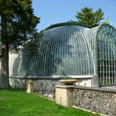
Lednice Greenhouse
4 km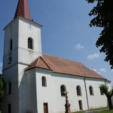
Church of Saint John the Baptist
2.9 km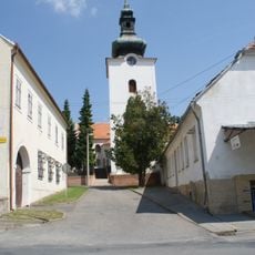
Church of Saint Margaret
2.6 km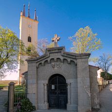
Chapel of Saints Cyril and Methodius
4 km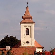
Church of Saint Giles
3.5 km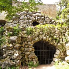
Aqueduct and Peklo cave
3.2 km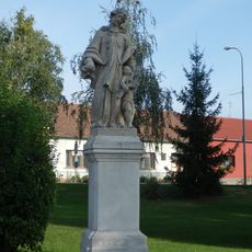
Socha svatého Jana Nepomuckého
2.9 km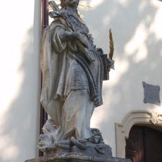
Statue of Saint Thecla
4 km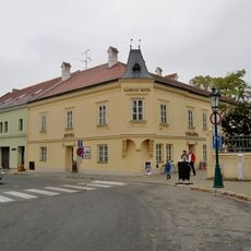
Dům čp. 66
4 km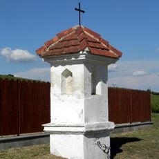
Boží muka
2.3 km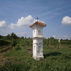
Boží muka
2.1 km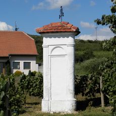
Boží muka
2.9 km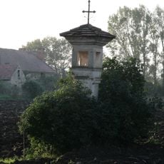
Boží muka
3.4 km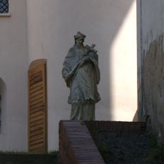
Socha sv. Jana Nepomuckého
2.6 km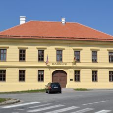
Former town hall in Podivín
4 km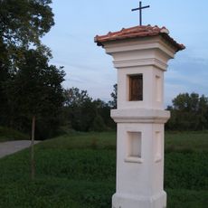
Boží muka
3 km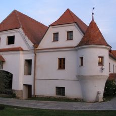
Vodní mlýn
2.7 km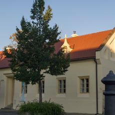
Dům čp. 65
4 km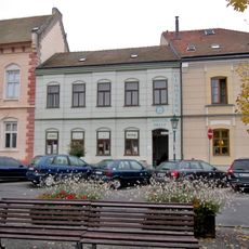
Dům čp. 69
4 km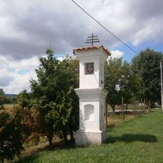
Boží muka
3.2 kmReviews
Visited this place? Tap the stars to rate it and share your experience / photos with the community! Try now! You can cancel it anytime.
Discover hidden gems everywhere you go!
From secret cafés to breathtaking viewpoints, skip the crowded tourist spots and find places that match your style. Our app makes it easy with voice search, smart filtering, route optimization, and insider tips from travelers worldwide. Download now for the complete mobile experience.

A unique approach to discovering new places❞
— Le Figaro
All the places worth exploring❞
— France Info
A tailor-made excursion in just a few clicks❞
— 20 Minutes