
Litětiny, village in Pardubice District of Pardubice region
Location: Dolní Roveň
Elevation above the sea: 238 m
GPS coordinates: 50.02190,16.01250
Latest update: March 5, 2025 12:57
Neulust
2.5 km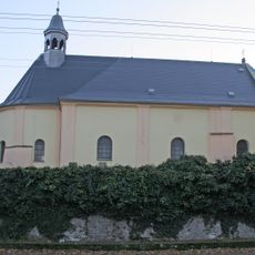
Church of Saint Catherine
2.1 km
Bažantnice v Uhersku
3.1 km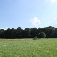
Boršov u Litětin
1.6 km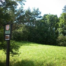
Stráň u Trusnova
3.7 km
Church of the Annunciation
3 km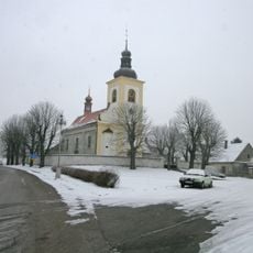
Church of Assumption of Virgin Mary
3.3 km
Socha svatého Jana Nepomuckého s palladiem
2.9 km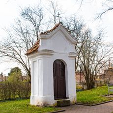
Kaplička
2 km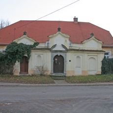
Rectory in Horní Roveň
2.1 km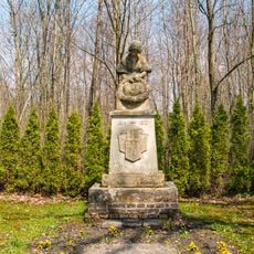
Litětiny - pomník padlých
30 m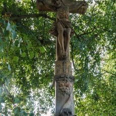
Crucifix
3.9 km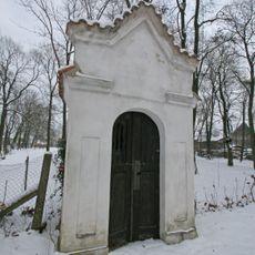
Chapel of Saint Wenceslaus
2 km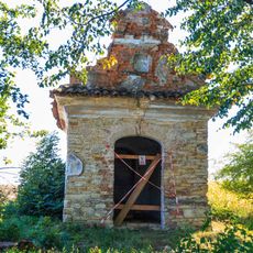
Chapel of Virgin Mary
2.2 km
Usedlost čp. 65
2.8 km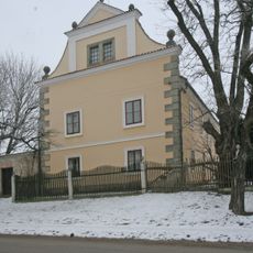
Uhersko čp. 9
3.3 km
Pomník padlých v Ostřetíně
2.9 km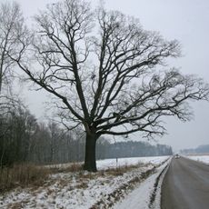
Památný dub u Litětin
1.8 km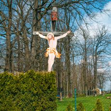
Kříž
689 m
Crucifix in Ostřetín
3 km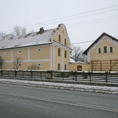
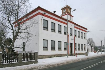
Horní Roveň čp. 201
637 m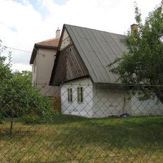
Venkovská usedlost
1.6 km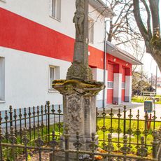
Kříž
1.3 km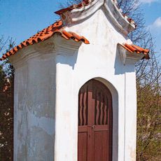
Horní Roveň - výklenková kaple u školy
2.1 km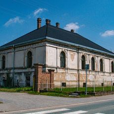
Litětiny
184 m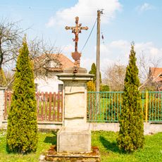
Kříž v Horní Rovni poblíž školy
2.3 km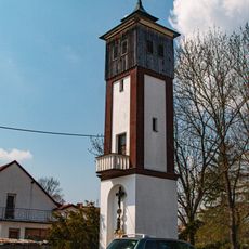
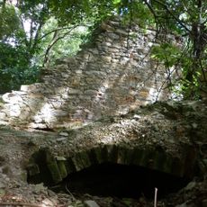
Zvonice
318 m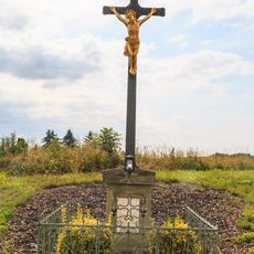
Kříž v Uhersku západní část obce
3.1 kmReviews
Visited this place? Tap the stars to rate it and share your experience / photos with the community! Try now! You can cancel it anytime.
Discover hidden gems everywhere you go!
From secret cafés to breathtaking viewpoints, skip the crowded tourist spots and find places that match your style. Our app makes it easy with voice search, smart filtering, route optimization, and insider tips from travelers worldwide. Download now for the complete mobile experience.

A unique approach to discovering new places❞
— Le Figaro
All the places worth exploring❞
— France Info
A tailor-made excursion in just a few clicks❞
— 20 Minutes