
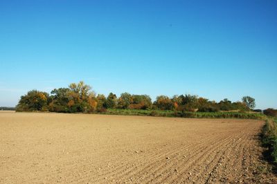
Kamajka, protected area in Czech Republic
Location: Chotusice
Inception: December 31, 1933
Elevation above the sea: 231 m
GPS coordinates: 49.96290,15.37200
Latest update: March 6, 2025 08:14
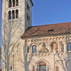
Church of Saint James the Greater
2.8 km
Skalka u Žehušic
2.1 km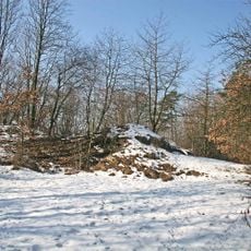
Žehušická skalka
2.2 km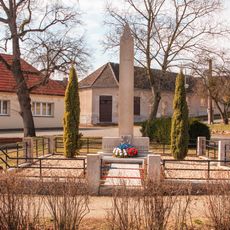
Pomník padlých
2.7 km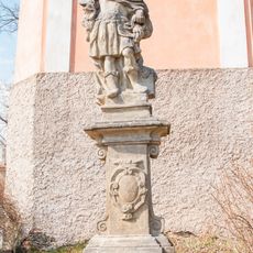
Socha
2.6 km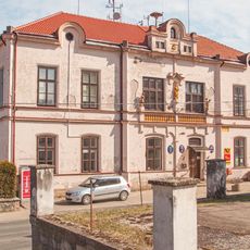
Úřad městyse Žehušice
2.6 km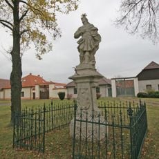
Socha svatého Donáta
2.2 km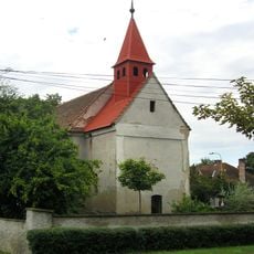
Church of Saint Mary Magdalene
1.6 km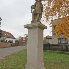
Socha svatého Floriána
2.8 km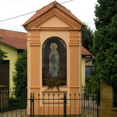
Výklenková kaplička
1.7 km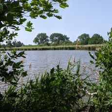
Nový rybník u Kačiny
1.8 km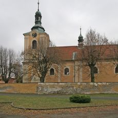
Church of Saint Wenceslaus
2.2 km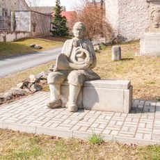
Socha
2.6 km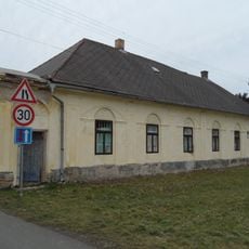
Usedlost čp. 26
2.8 km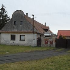
Usedlost čp. 5
2.6 km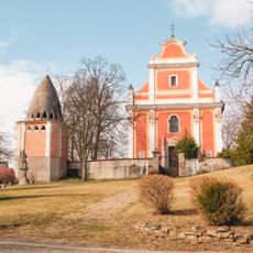
Church of Saint Mark
2.6 km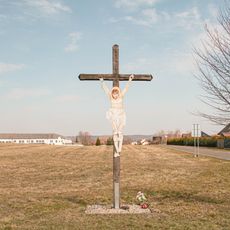
Kříž
2.2 km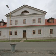
Děkanství
2.2 km
Usedlost čp. 3
2.6 km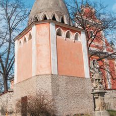
Zvonice
2.6 km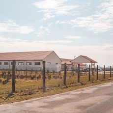
Čerpací stanice
2.4 km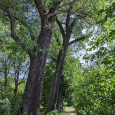
Alej javorů, lip, topolů, jasanů
2.2 km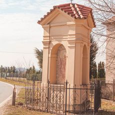
Chapel of Saint Nicholas
2.5 km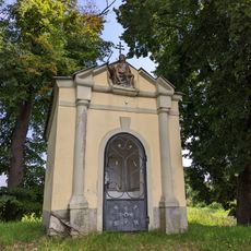
Kaple svatého Jiří
2.2 km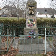
Pomník padlým v Jakubu u hlavní silnice
2.7 km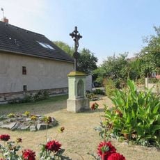
Kříž na rozcestí v Jakubu
2.7 km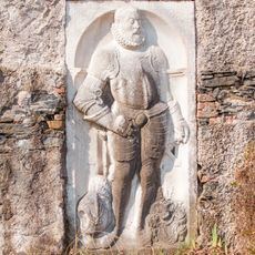
Gravestones in Žehušice
2.6 km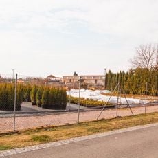
Zahradnictví Konifery
2.7 kmReviews
Visited this place? Tap the stars to rate it and share your experience / photos with the community! Try now! You can cancel it anytime.
Discover hidden gems everywhere you go!
From secret cafés to breathtaking viewpoints, skip the crowded tourist spots and find places that match your style. Our app makes it easy with voice search, smart filtering, route optimization, and insider tips from travelers worldwide. Download now for the complete mobile experience.

A unique approach to discovering new places❞
— Le Figaro
All the places worth exploring❞
— France Info
A tailor-made excursion in just a few clicks❞
— 20 Minutes