
Kamenná, protected area in Czech Republic
Location: Staříč
Inception: March 15, 1990
GPS coordinates: 49.69370,18.27990
Latest update: April 12, 2025 17:24

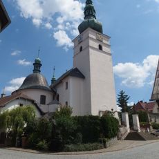
Church of Saint George
3.9 km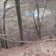
Tvrz Lipina
2.6 km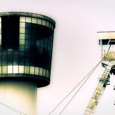
Důl Sviadnov
2.7 km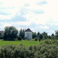
Windmill in Brušperk
3.7 km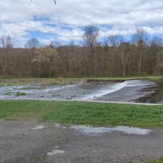
Stolbergův jez
3.8 km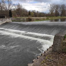
Válcovenský jez
3.9 km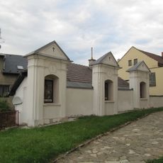
Křížová cesta
3.9 km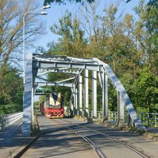
Most na vlečce Arcimpex Sviadnov
3.4 km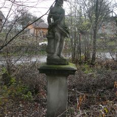
Socha Krista u kůlu
4.1 km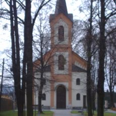
Chapel of Saint John of Nepomuk
3.4 km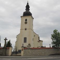
Church of the Finding of the True Cross
963 m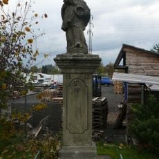
Socha svatého Jana Nepomuckého
3.9 km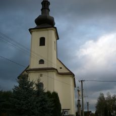
Church of Our Lady of the Snow
3.1 km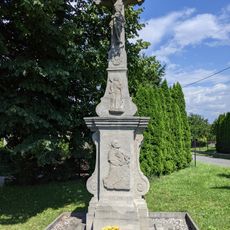
Krucifix
3.6 km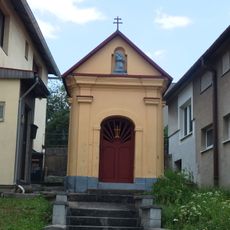
Kaple svatého Spasitele
3.9 km
Dům čp. 487
4 km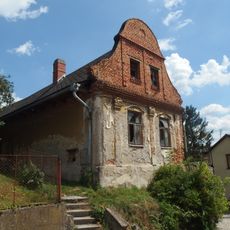
Dům čp. 58
3.9 km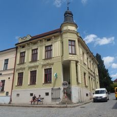
Dům čp. 41
4 km
Dům čp. 39
4 km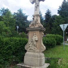
Krucifix
3.9 km
Dům čp. 9
4.1 km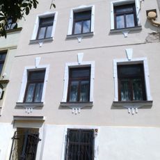
Dům čp. 32
4.1 km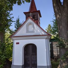
Kaplička svatého Antonína
3.1 km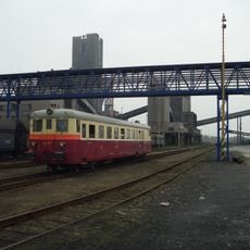
Footbridge over Důl Staříč station
890 m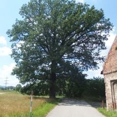
Žabeňský dub
2 km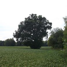
Dub u dálnice
2.6 km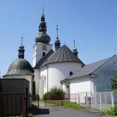
Areál kostela sv. Jiří
3.9 km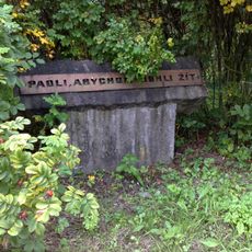
Pomník popraveným odbojářům
3.4 kmReviews
Visited this place? Tap the stars to rate it and share your experience / photos with the community! Try now! You can cancel it anytime.
Discover hidden gems everywhere you go!
From secret cafés to breathtaking viewpoints, skip the crowded tourist spots and find places that match your style. Our app makes it easy with voice search, smart filtering, route optimization, and insider tips from travelers worldwide. Download now for the complete mobile experience.

A unique approach to discovering new places❞
— Le Figaro
All the places worth exploring❞
— France Info
A tailor-made excursion in just a few clicks❞
— 20 Minutes