
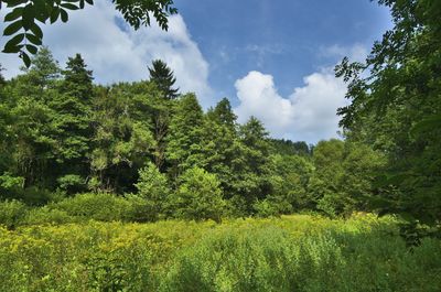
Pod Švancarkou, protected area in Czech Republic
Location: Horní Štěpánov
Inception: November 1, 1990
GPS coordinates: 49.54333,16.74222
Latest update: March 11, 2025 02:46
Church of the Annunciation of the Virgin Mary in Vážany
4.3 km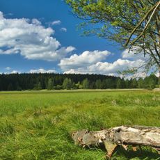
Pavlovské mokřady
4.5 km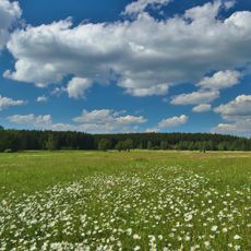
Řehořkovo Kořenecko
2.4 km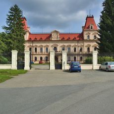
Castle Šebetov
2 km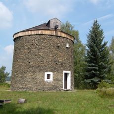
Windmill in Kořenec
1.9 km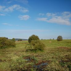
Uhliska
4 km
Horní Bělá
822 m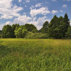
Pohorská louka
2.2 km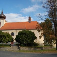
Church of Saint Lawrence
3.5 km
Saints Philip and James Church
4.3 km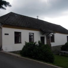
Museum Kořenec
1.7 km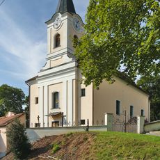
Saint Mark Church
3.5 km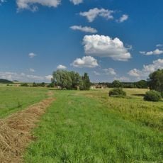
V chaloupkách
3.1 km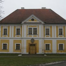
Rectory
4.2 km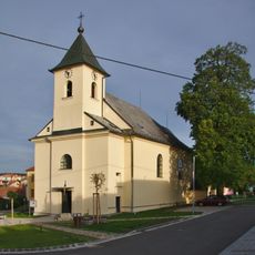
Church of the Exaltation of the Holy Cross
4.3 km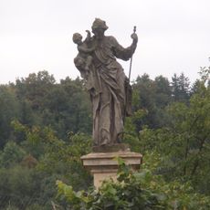
Socha svatého Josefa
2.8 km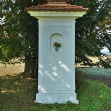
Boží muka
3.9 km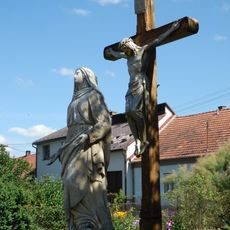
Socha Panny Marie Bolestné
2.1 km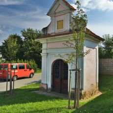
Chapel of Saint Florian
3.7 km
Pohorská lipová alej
1.9 km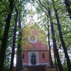
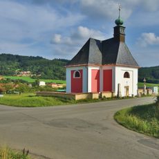
Chapel of Saint Anne
1.6 km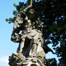
Sousoší svatého Jana Nepomuckého
2.1 km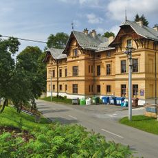
Měšťanský dům
2 km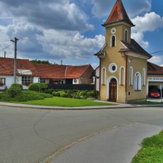
Chapel of the Assumption
5.6 km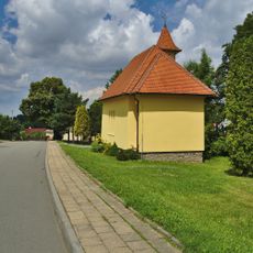
Chapel of Our Lady od Fatima
1.9 km
Chapel of Our Lady of Sorrows
4.6 km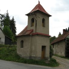
Kaple
4.6 km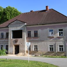
School building in Sudice
5.5 kmReviews
Visited this place? Tap the stars to rate it and share your experience / photos with the community! Try now! You can cancel it anytime.
Discover hidden gems everywhere you go!
From secret cafés to breathtaking viewpoints, skip the crowded tourist spots and find places that match your style. Our app makes it easy with voice search, smart filtering, route optimization, and insider tips from travelers worldwide. Download now for the complete mobile experience.

A unique approach to discovering new places❞
— Le Figaro
All the places worth exploring❞
— France Info
A tailor-made excursion in just a few clicks❞
— 20 Minutes