
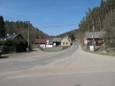
Podhora, village in Mladá Boleslav District of Central Bohemian region
Location: Mohelnice nad Jizerou
GPS coordinates: 50.57280,14.95890
Latest update: March 8, 2025 09:33
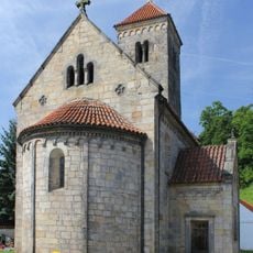
Romanesque church in Mohelnice nad Jizerou
2 km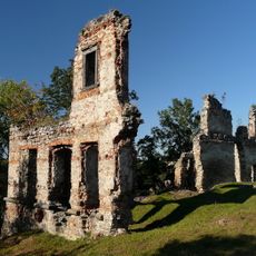
Zásadka Castle
2.4 km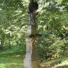
Statue of Saint John of Nepomuk in Sychrov
2.7 km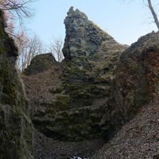
Vrch Káčov
2.8 km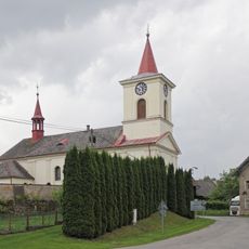
Saint Bartholomew Church (Sezemice, Mladá Boleslav District)
3.6 km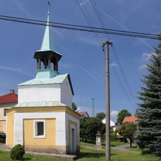
Chapel of Saint Joseph
1.9 km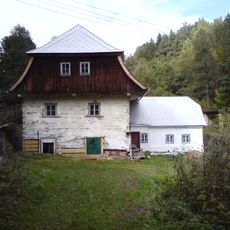
Podvicmanovský mlýn
2.8 km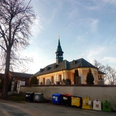
Church of Saint Lawrence
2.3 km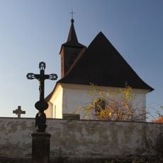
Church of Saint Gall (Chocnějovice)
831 m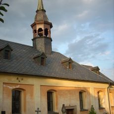
Římskokatolická farnost Mukařov u Mladé Boleslavi
2.3 km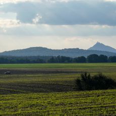
Bukovinská tabule
4 km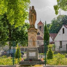
Socha světce na návsi v Mohelnici nad Jizerou
2 km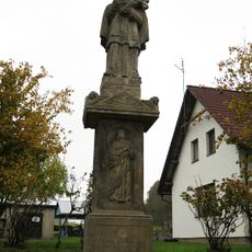
Socha svatého Jana Nepomuckého
3.1 km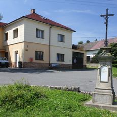
Krucifix u kapličky
1.9 km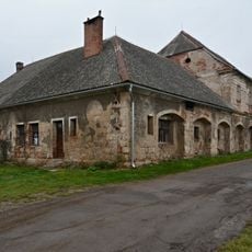
Hněvousice velkostatek
3.9 km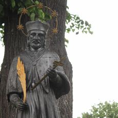
Socha svatého Jana Nepomuckého
3.6 km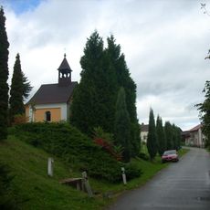
Chapel in Vicmanov
3 km
Lípa na ostrově
4 km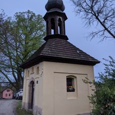
Chapel in Neveklovice
775 m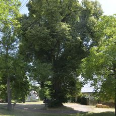
Tilia cordata in Koryta
3.8 km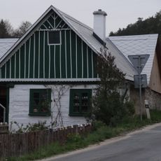
Usedlost čp. 5
67 m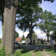
Kaple
3 km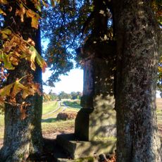
Čechův kříž
3.3 km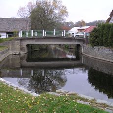
Bridge over the Mohelka in Mohelnice nad Jizerou
2 km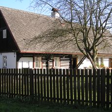
Mohelnice nad Jizerou 8
2 km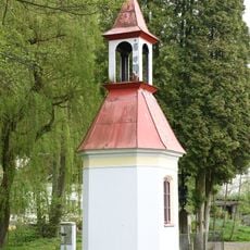
Kaple v Dolní Bukovině
3.5 km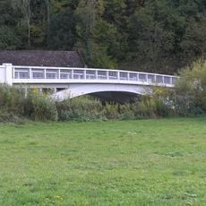
Bridge over the Jizera in Mohelnice nad Jizerou
2.3 km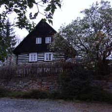
Neveklovice 17
789 mReviews
Visited this place? Tap the stars to rate it and share your experience / photos with the community! Try now! You can cancel it anytime.
Discover hidden gems everywhere you go!
From secret cafés to breathtaking viewpoints, skip the crowded tourist spots and find places that match your style. Our app makes it easy with voice search, smart filtering, route optimization, and insider tips from travelers worldwide. Download now for the complete mobile experience.

A unique approach to discovering new places❞
— Le Figaro
All the places worth exploring❞
— France Info
A tailor-made excursion in just a few clicks❞
— 20 Minutes