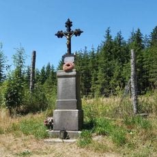
Praha, Mountain summit in South Bohemia, Czech Republic
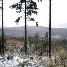
Praha is the second-highest summit of the Brdy range in the Central Bohemian Region, reaching 862 m. Its top holds a 56-metre concrete meteorological tower with a radar and TV transmitter, and about 350 m south lies Čáka's viewpoint. The summit is in the Nepomuk cadastral area, with the southern part of the plateau in Věšín.
The summit lay inside the Brdy military training area and was closed to the public until the area was abolished on 1 January 2016. During the Second World War a Pegasus-Y navigation radar and listening equipment stood here on wooden towers, and foundations of those structures survive near the top. Under the communist regime a military radar was mounted on a taller steel tower.
The name Praha was probably given during the National Revival by members of the Czech Tourist Club, who named the hill after the capital; the second-highest point of the Křivoklátská vrchovina was likewise named Brno after a city. The summit lies on the yellow-marked trail and was closed to the public until the military area was abolished on 1 January 2016.
Marked trails start from the nearest village, where a trailhead parking area is available. The paths are straightforward and can be done without special preparation by most visitors.
The rock layers near the summit contain fossils from a time when this part of Bohemia lay under an ancient sea. Anyone who looks closely at the exposed rock faces can still spot traces of marine organisms turned to stone.
The community of curious travelers
AroundUs brings together thousands of curated places, local tips, and hidden gems, enriched daily by 92,160 contributors worldwide.