
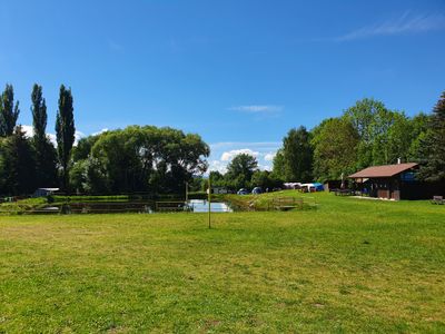
Smržovice, part of Kdyně in Domažlice District
Location: Kdyně
Elevation above the sea: 530 m
GPS coordinates: 49.37530,13.09810
Latest update: March 21, 2025 11:03
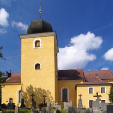
Saint Nicholas church
4.4 km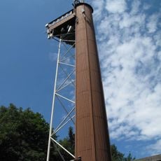
Koráb
2.8 km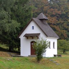
Chapel of Blessed Karl of Austria
1.8 km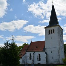
Church of the Nativity of the Virgin Mary
1.3 km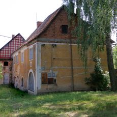
Úsilov
3.1 km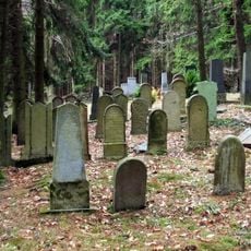
Jewish cemetery in Loučim
2.1 km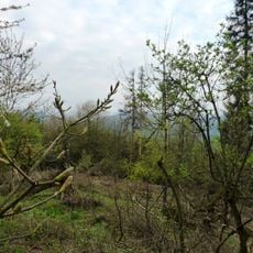
Německá hora (natural monument)
3 km
Stations of the Cross in Pocinovice
3.6 km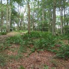
Hora (natural monument)
4 km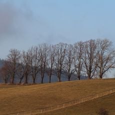
Stromořadí na Šibenici
3.6 km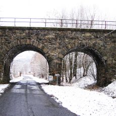
Železniční most přes silnici III/0225 a Andělici v Dobříkově
1.1 km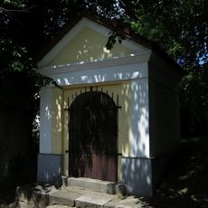
Chapel of Our Lady of Sorrows
4.4 km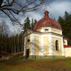
Chapel of Our Lady of Sorrows
3.6 km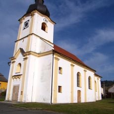
Kostel svaté Anny
4.4 km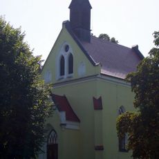
Chapel of Saint Wenceslaus
2.3 km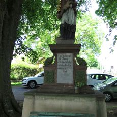
Socha svatého Jana Nepomuckého
1.4 km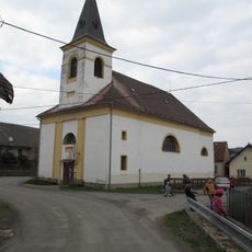
Church of Saint Joseph
4.1 km
Kaple Bolestné Panny Marie s křížovou cestou
3.6 km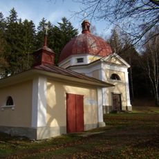
Kaple Panny Marie Lurdské u Pocinovic
3.6 km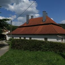
Fara
1.3 km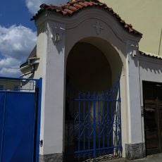
Chapel of Saint John of Nepomuk
4.5 km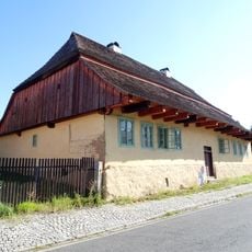
Starokdyňská 89
4.3 km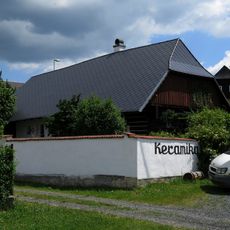
Usedlost čp. 47
4.4 km
Usedlost čp. 3
1.4 km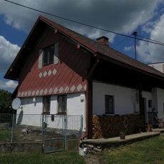
Usedlost čp. 123
4.3 km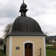
Chapel of Saint Martin
3.7 km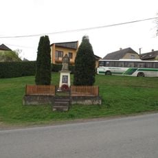
Pomník padlým v 1.světové válce v Chodské Lhotě
2.3 km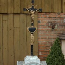
Kříž v Brnířově u návsi
3.7 kmReviews
Visited this place? Tap the stars to rate it and share your experience / photos with the community! Try now! You can cancel it anytime.
Discover hidden gems everywhere you go!
From secret cafés to breathtaking viewpoints, skip the crowded tourist spots and find places that match your style. Our app makes it easy with voice search, smart filtering, route optimization, and insider tips from travelers worldwide. Download now for the complete mobile experience.

A unique approach to discovering new places❞
— Le Figaro
All the places worth exploring❞
— France Info
A tailor-made excursion in just a few clicks❞
— 20 Minutes