Rohožník, protected area in Czech Republic
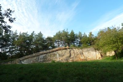
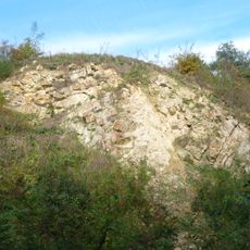
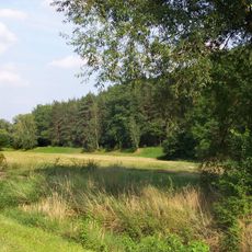
Rohožník, also known as Lom v Dubči, is a protected natural monument covering approximately 3.37 hectares and consisting of two parts: a high ridge and a small quarry at the edge of Dubeč. The main hill rises to 279 meters above sea level and is composed of Ordovician quartzites, with exposed rock walls that reveal millions of years of geological deformation.
The area has been settled since the late Stone Age with stone mining occurring for thousands of years. Mining activity increased significantly during the first half of the 20th century, creating the quarry pits still visible today.
The name Rohožník derives from old Czech and refers to reed grass that once grew in marshy areas around the hill. The site shows traces of human settlement dating back over 4000 years, evident from pottery fragments discovered during archaeological excavations.
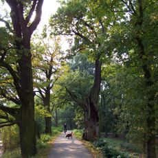
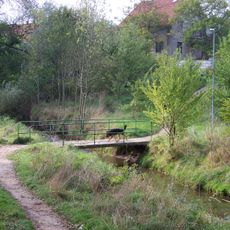
The quarry area is fenced and not open to the public, but the summit of Rohožník with its exposed rock patches can be viewed from the perimeter. A marked blue trail connects the surrounding area and allows visitors to explore the landscape and rocky formations at their own pace.
The western quarry displays a massive wave-shaped fold in rock layers so large it is clearly visible in the quarry walls. This striking geological structure, combined with the lesser-known eastern pit showing rare Variscan fault shifts, makes this site an unusual window into the tectonic history of the Czech landscape.
The community of curious travelers
AroundUs brings together thousands of curated places, local tips, and hidden gems, enriched daily by 60,000 contributors worldwide.