
Saladín, village in Prachatice District of South Bohemian region
Location: Záblatí
Elevation above the sea: 610 m
GPS coordinates: 49.00330,13.92640
Latest update: March 6, 2025 23:05

Blanice
2.1 km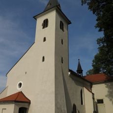
Church of Saint John the Baptist
641 m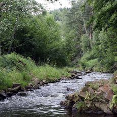
Kaňon Blanice
3 km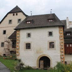
Drslavice Castle
2.5 km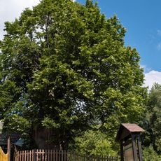
Husova lípa
1.9 km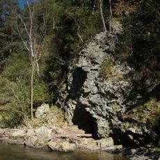
Zábrdská skála
1.4 km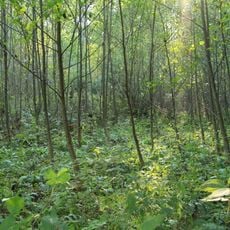
Saladínská olšina
460 m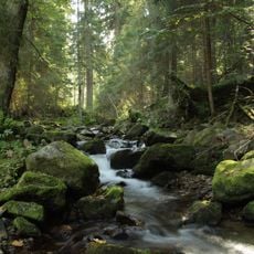
Čertova stráň
3.4 km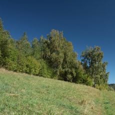
V Polích
2.5 km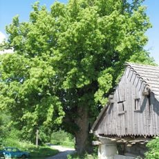
Řepešínská lípa
1.2 km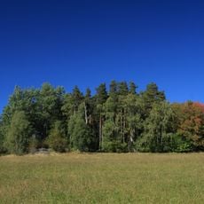
Stádla
1.6 km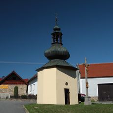
Chapel of the Assumption
1.8 km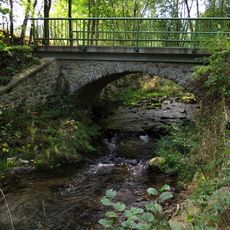
Most místní komunikace přes Cikánský potok u samoty U Pátlů
1.4 km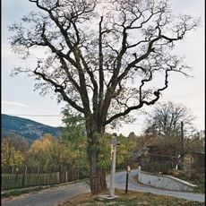
Trnovník akát
2.8 km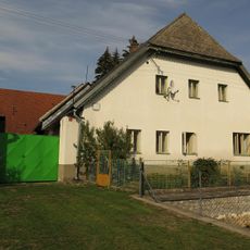
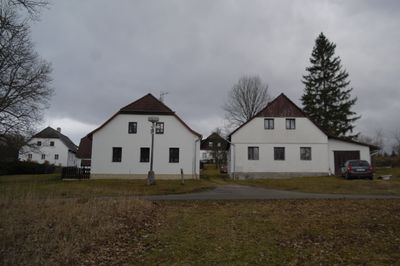
Usedlost čp. 8
1.9 km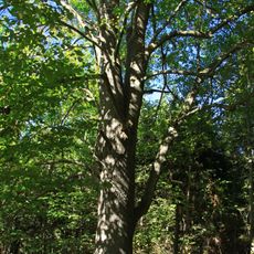
Lípa u Horního Záblatí
1 km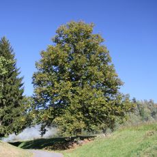
Lípa v Horním Záblatí
923 m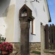
Boží muka
776 m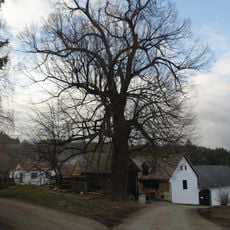
Lípa širokolistá
3.3 km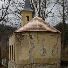
Saint Joseph chapel in Krejčovice
3 km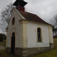
Kaple ve Zvěřenicích
1.3 km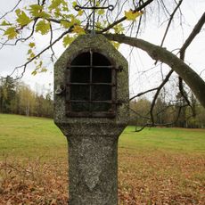
Column shrine in Křeplice
2.8 km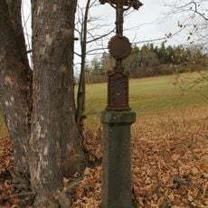
Wayside cross
1.8 km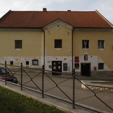
Fara
607 m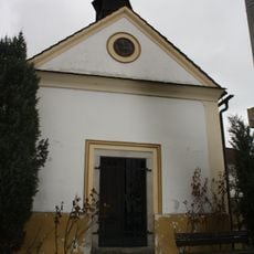
Chapel in Řepešín
1.4 km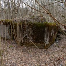
H-42/37/A-120 Z light pillbox
3.3 km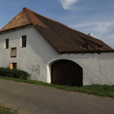
Usedlost čp. 43
2 km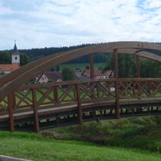
Lávka přes Farský potok v Záblatí před ústím do Blanice
413 mReviews
Visited this place? Tap the stars to rate it and share your experience / photos with the community! Try now! You can cancel it anytime.
Discover hidden gems everywhere you go!
From secret cafés to breathtaking viewpoints, skip the crowded tourist spots and find places that match your style. Our app makes it easy with voice search, smart filtering, route optimization, and insider tips from travelers worldwide. Download now for the complete mobile experience.

A unique approach to discovering new places❞
— Le Figaro
All the places worth exploring❞
— France Info
A tailor-made excursion in just a few clicks❞
— 20 Minutes