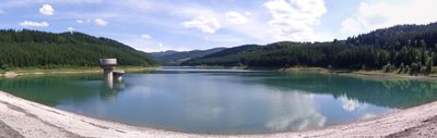
Stanovnice, Stausee in Tschechien
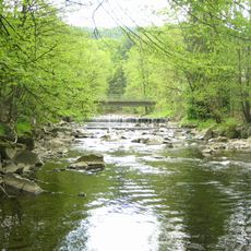
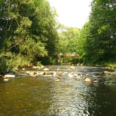
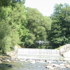
Stanovnice is a drinking water reservoir in a forested valley of the Moravian-Silesian Beskids, just south of the town of Karolinka in the Czech Republic. The earthen dam holds back the Stanovnice river and the water it stores is treated and distributed to surrounding communities.
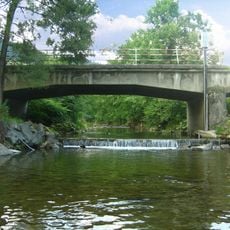
Construction of the dam began in 1977 to meet the growing need for drinking water in the region, and the reservoir came into use in 1985. A small hydroelectric plant with two turbines was added in 1995 to make use of the water flow through the dam.
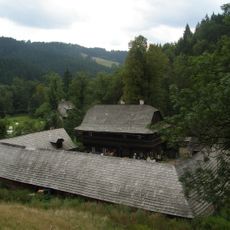
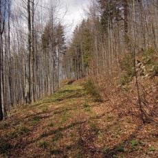
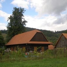
The reservoir is used as a walking destination by people from nearby towns, who come to follow the trails along the water's edge and cross the dam on foot. The surrounding forest and open water give the place a calm, unhurried feel that draws visitors throughout the year.
The dam can be crossed on foot and offers open views over the water and the forested hills on either side. Walking trails run around the site and are easy to follow, making the area a good destination for a half-day outing.
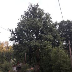
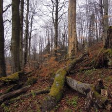
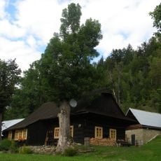
About 2 miles (3 km) southeast of the dam, an ancient yew tree estimated to be around 800 years old grows in the middle of this landscape of modern water infrastructure. Most visitors walk past without noticing it, yet it was already standing centuries before the valley was flooded.
The community of curious travelers
AroundUs brings together thousands of curated places, local tips, and hidden gems, enriched daily by 60,000 contributors worldwide.