
Staré Prachatice, part of Prachatice
Location: Prachatice
Elevation above the sea: 570 m
GPS coordinates: 49.02530,14.00470
Latest update: April 9, 2025 08:06
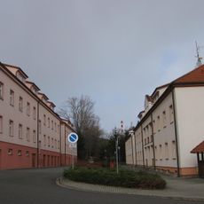
Former Barracks of the 62nd Motor Rifle Regiment
1.2 km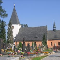
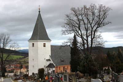
Church of Saints Peter and Paul
206 m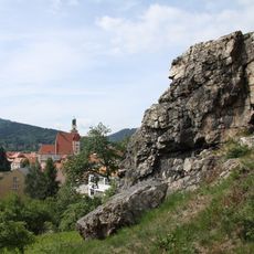
Žižkova skalka
1.2 km
Státní okresní archiv Prachatice
991 m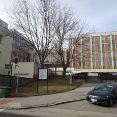
Česká spořitelna
1.2 km
Prachatický liliovník
1.1 km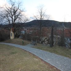
Svatopetrská stezka
1.2 km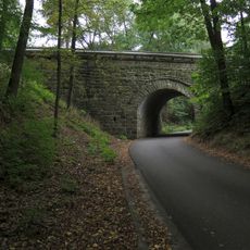
Bridge No 14531-2 in Staré Prachatice
289 m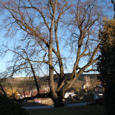
Lípa velkolistá
110 m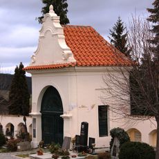
Kaple svatého Petra a Pavla
251 m
Slepý mlýn (Prachatice)
769 m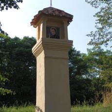
Boží muka III (Svatopetrská stezka, Prachatice)
706 m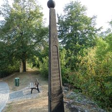
Jehlan
1.1 km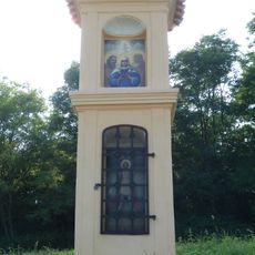
Boží muka IV (Svatopetrská stezka, Prachatice)
647 m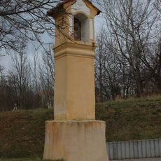
Boží muka I
869 m
Most Mlýnské ulice přes Živný potok v Prachaticích
808 m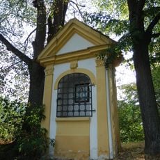
Výklenková kaplička I
1.1 km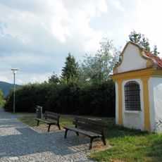
Výklenková kaplička II
964 m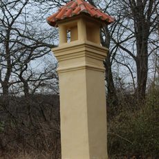
Boží muka V (Svatopetrská stezka, Prachatice)
465 m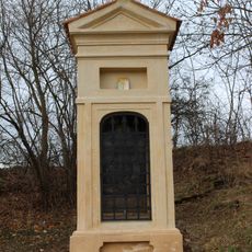
Výklenková kaplička III
532 m
Gotický portálek usedlosti č. 1
119 m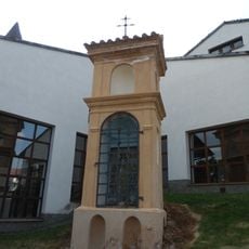
Boží muka II
805 m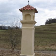
Column shrine in Prachatice, Esovitá
1 km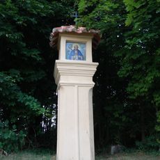
Boží muka VI
361 m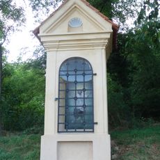
Výklenková kaplička IV
415 m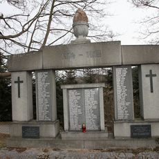
World War I memorial in Prachatice
293 m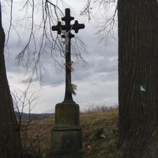
Wayside cross in Prachatice, Prachatická - Budovatelská
954 m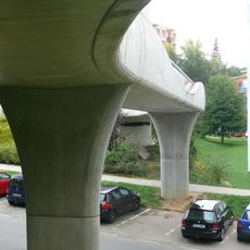
Footbridge over Pivovarská Street in Prachatice
963 mReviews
Visited this place? Tap the stars to rate it and share your experience / photos with the community! Try now! You can cancel it anytime.
Discover hidden gems everywhere you go!
From secret cafés to breathtaking viewpoints, skip the crowded tourist spots and find places that match your style. Our app makes it easy with voice search, smart filtering, route optimization, and insider tips from travelers worldwide. Download now for the complete mobile experience.

A unique approach to discovering new places❞
— Le Figaro
All the places worth exploring❞
— France Info
A tailor-made excursion in just a few clicks❞
— 20 Minutes