
Rojetínský hadec, protected area in Czech Republic
Location: Rojetín
Inception: May 31, 2013
GPS coordinates: 49.36700,16.26580
Latest update: March 8, 2025 09:57

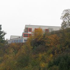
Havlov
2.9 km
Halda
3 km
Kostel svatého Petra a Pavla
1 km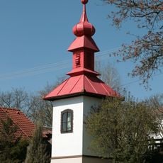
Bell tower
2.9 km
Na kutinách
1.7 km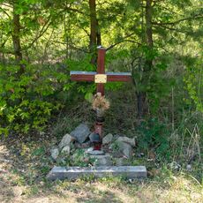
Pomníček Ruth Fajtové
1.8 km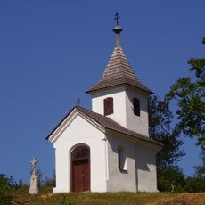
Chapel of Virgin Mary
1.5 km
Chapel of Virgin Mary
2.7 km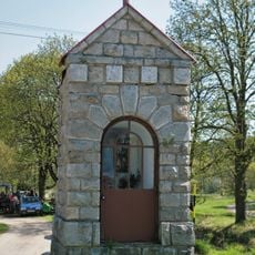
Chapel of Saint John of Nepomuk
2.9 km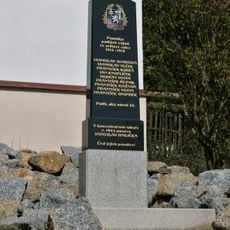
Památník obětí světových válek
2.9 km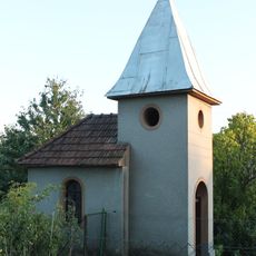
Chapel of Saint Wenceslaus
1.2 km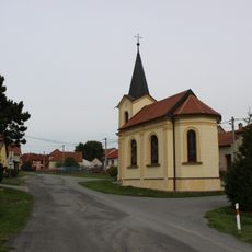
Kaple Nanebevzetí Panny Marie
2.7 km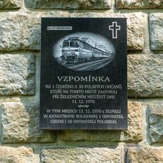
1970 Řikonín train disaster memorial
1.6 km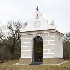
Chapel of Virgin Mary
2.6 km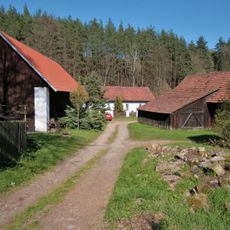
Jeřábkův Mlýn
2.8 km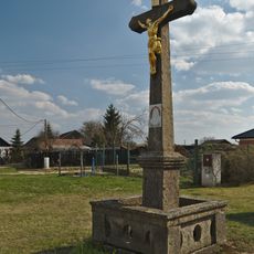
Krucifix
2.8 km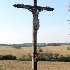
Krucifix
3 km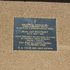
Pamětní deska Jana Podveského
3.2 km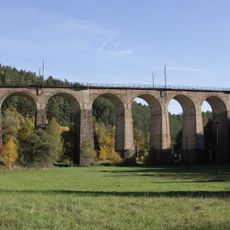
Railway bridge near to Kutiny
1.6 km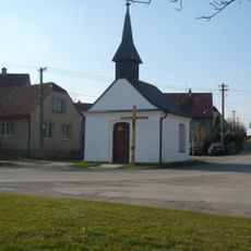
Chapel of Saint Wenceslaus
2.7 km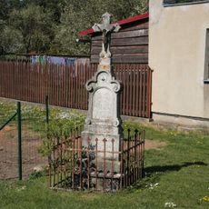
Kříž
2.7 km
Boží muka
1 km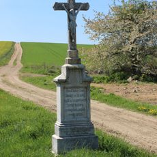
Wayside cross in Kuřimská Nová Ves
3.2 km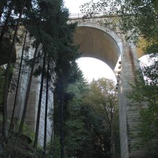
Railway bridge in Kutiny
1.9 km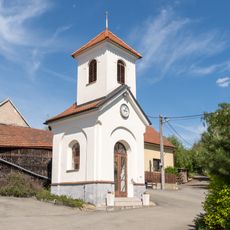
Chapel of Saint Giles
2.9 km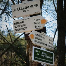
Rozcestník Jeřábkův Mlýn
2.9 km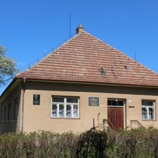
Rectory in Kuřimská Nová Ves
3.2 km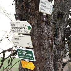
Rozcestník Řikonín - žst., odb.
3.1 kmReviews
Visited this place? Tap the stars to rate it and share your experience / photos with the community! Try now! You can cancel it anytime.
Discover hidden gems everywhere you go!
From secret cafés to breathtaking viewpoints, skip the crowded tourist spots and find places that match your style. Our app makes it easy with voice search, smart filtering, route optimization, and insider tips from travelers worldwide. Download now for the complete mobile experience.

A unique approach to discovering new places❞
— Le Figaro
All the places worth exploring❞
— France Info
A tailor-made excursion in just a few clicks❞
— 20 Minutes