Králův mlýn, Religious hermitage in Maxičky, Czech Republic
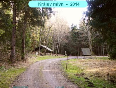
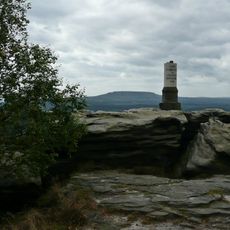
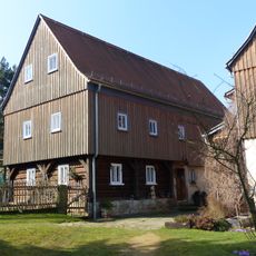
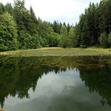
Králův mlýn is a hermitage of stone ruins standing at 353 meters elevation, nestled within dense forest and mountain trails in northern Bohemia. The site shows traces of a former mill with water channels integrated into the rocky landscape.
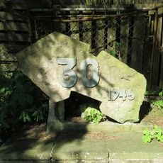
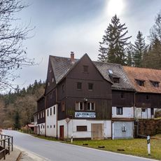
The site began in 1577 as a sawmill and later transformed into a hermitage, though it was destroyed in 1632 during the Thirty Years War. After this devastation, the location was gradually rebuilt and adapted to its new purpose.
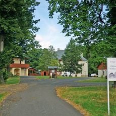
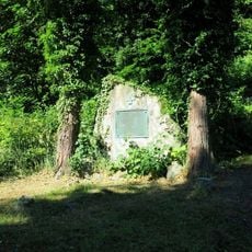
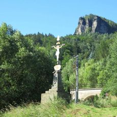
The place served as a spiritual retreat for hermits over centuries and later housed French prisoners during World War II. This changing role shaped how people experienced life at this remote mountain location.
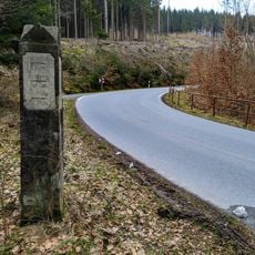
Access is through a 1.5 kilometer gorge path starting from Háj, following the old trade routes with trail markers. The path can be rough underfoot, especially after rain, so sturdy footwear and extra time are important.
Visitors often discover a working water wheel model that local scouts rebuilt in the 1990s based on historical plans. This small technical reminder shows how water power once drove the site's original operations.
Location: Maxičky
Elevation above the sea: 353 m
GPS coordinates: 50.83660,14.15159
Latest update: December 14, 2025 18:12
Kristin Hrádek
2.8 km
Kleiner Zschirnstein
4 km
Rybník u Králova mlýna
441 m
Římskokatolická farnost Dolní Žleb
4.6 km
Church of Holy Trinity
4.6 km
Railway bridge in Dolní Žleb
4.6 km
Dub u Bártíkovy školky
4.9 km
Dub u Vlčího jezera
4.4 km
Pomník k 30. výročí osvobození v Dolním Žlebu
4.6 km
Pomník padlým v 1. světové válce na hřbitově v Dolním Žlebu
4.6 km
Rundweg 2 Kleingießhübel
4.4 km
Rundweg 1 Kleingießhübel
4.3 km
Hirschgrund 23 Kleingießhübel
4.1 km
Dienelův kříž u lesní silničky severně od Maxiček
2.4 km
Dorfstraße 13 Kleingießhübel
4.2 km
Myslivcův kříž u lesní silničky západně od Maxiček
2.4 km
Station 55 Zschirnstein
2.7 km
Pomník padlým v Maxičkách
3.6 km
Hirschgrund 15 Kleingießhübel
4.1 km
Hirschgrund 18 Kleingießhübel
4.1 km
Kříž v Dolním Žlebu pod zastávkou železnice
5.1 km
Belvedere
5.1 km
Křížový kámen u lesní cesty z Maxiček do Čertovy Vody
4.4 km
Rundweg 3 Kleingießhübel
4.4 km
Rundweg 27 Kleingießhübel
4.1 km
Královomlýnský rybník
440 m
Wegestein Cunnersdorf, Krippenbachweg
3.9 km
Forstmühle
4.1 kmVisited this place? Tap the stars to rate it and share your experience / photos with the community! Try now! You can cancel it anytime.
Discover hidden gems everywhere you go!
From secret cafés to breathtaking viewpoints, skip the crowded tourist spots and find places that match your style. Our app makes it easy with voice search, smart filtering, route optimization, and insider tips from travelers worldwide. Download now for the complete mobile experience.
A unique approach to discovering new places❞
— Le Figaro
All the places worth exploring❞
— France Info
A tailor-made excursion in just a few clicks❞
— 20 Minutes