Todeńská hora, Mountain summit in South Bohemian Region, Czech Republic
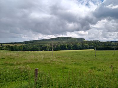
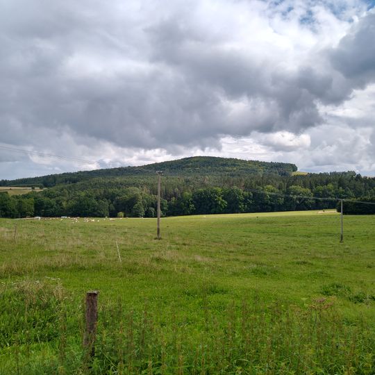
Todeňská hora is a 608.4 m summit in the Pořešín Highlands, a horst ridge 2 km long running southwest to northeast between Ločenice, Komařice and Trhové Sviny. Its massif consists of paragneiss and quartzite, rising above a gently undulating relief of plateaus at around 500 m.
Paleolithic hunters used dark grey quartzite from the belt between Todeňská hora and Chlumská hora to make weapons, as a worked quartzite core found at Nesměň near Ločenice shows. According to Pavel Kozák, the flat summit served cult purposes from the Bronze Age. In the early Middle Ages the peak marked the southern edge of the settled Doudleby region.
The name of the lookout on the southern slope honours Oldřich Fencl, who found this spot in May 1965; tourist waymarking was brought here afterwards. The poet Ladislav Stehlík gathered material for his book Země zamyšlená below the hill during the Second World War, around 1939–1940.
The marked trails are open year-round, though warmer months offer the most comfortable conditions. It is wise to check weather conditions before heading out and wear sturdy footwear for the walk.
The flat summit served ritual purposes from the Bronze Age, according to archaeologist Pavel Kozák. On the southern slope, the Oldřich Fencl viewpoint, named after the man who found this spot in May 1965, opens a panorama from the Novohradské hory to Plechý.
The community of curious travelers
AroundUs brings together thousands of curated places, local tips, and hidden gems, enriched daily by 92,300 contributors worldwide.