
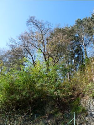
Krumlovská babyka, memorable tree in Český Krumlov District, Czech Republic
Location: Český Krumlov
Height: 10 m
GPS coordinates: 48.81707,14.31385
Latest update: April 6, 2025 12:21
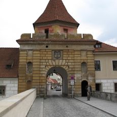
Budějovice Gate
352 m
Vošahlíkův mlýn
299 m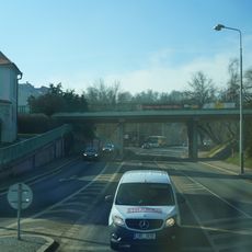
Most ulice Latrán přes Chvalšinskou ulici
276 m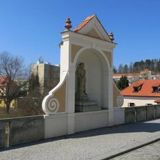
Flagellation of Christ
323 m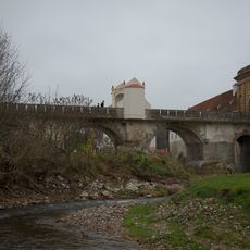
Bridge of Latrán street over the Polečnice
328 m
Latrán 105
353 m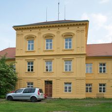
T. G. Masaryka 114
210 m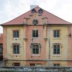
Chvalšinská 139
338 m
Serpentina 145
302 m
V Jámě 95 (Český Krumlov)
396 m
Latrán 107
301 m
Kiss of Judas
327 m
Věžní 100
375 m
Věžní 99
378 m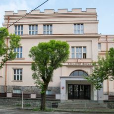
Masaryk Grammar School in Český Krumlov
109 m
Latrán 147
308 m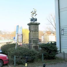
Pomník u bývalého mlýna v ulici Pod Kamenem v Českém Krumlově
320 m
Kino Luna
270 m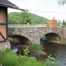
Stone bridge over the Polečnice in Český Krumlov
379 m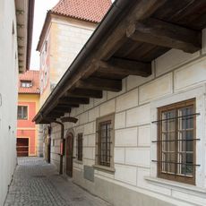
Věžní 102
357 m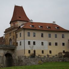
Latrán 106
356 m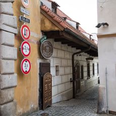
Věžní 103
350 m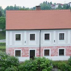
V Jámě 96
356 m
Věžní 101
371 m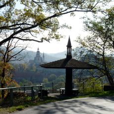
Historický altánek na třídě Vyšehrad v Českém Krumlově
146 m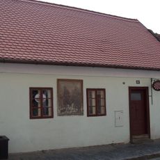
Latrán 85
387 m
Keramická kašna před kinem Luna v Českém Krumlově
250 m
Sgraffito on třída Míru 97
174 mVisited this place? Tap the stars to rate it and share your experience / photos with the community! Try now! You can cancel it anytime.
Discover hidden gems everywhere you go!
From secret cafés to breathtaking viewpoints, skip the crowded tourist spots and find places that match your style. Our app makes it easy with voice search, smart filtering, route optimization, and insider tips from travelers worldwide. Download now for the complete mobile experience.

A unique approach to discovering new places❞
— Le Figaro
All the places worth exploring❞
— France Info
A tailor-made excursion in just a few clicks❞
— 20 Minutes